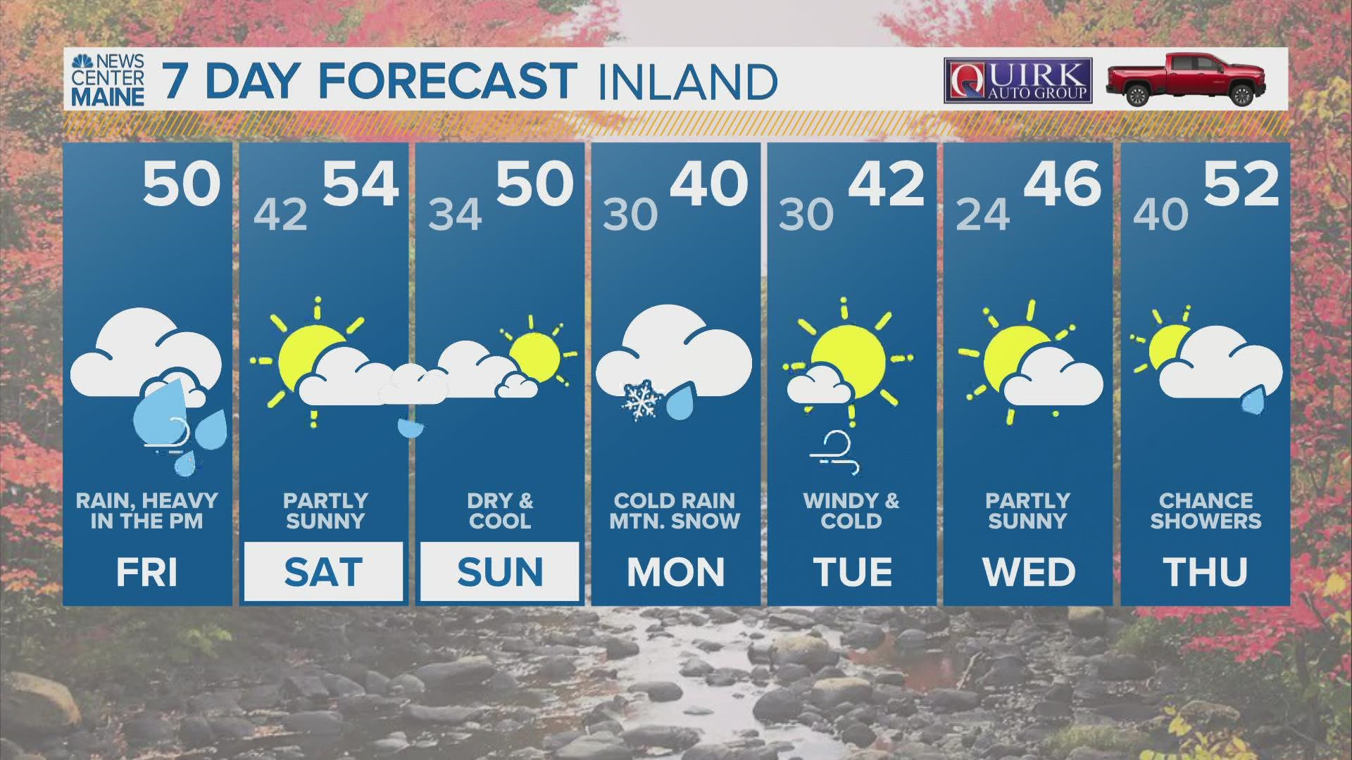
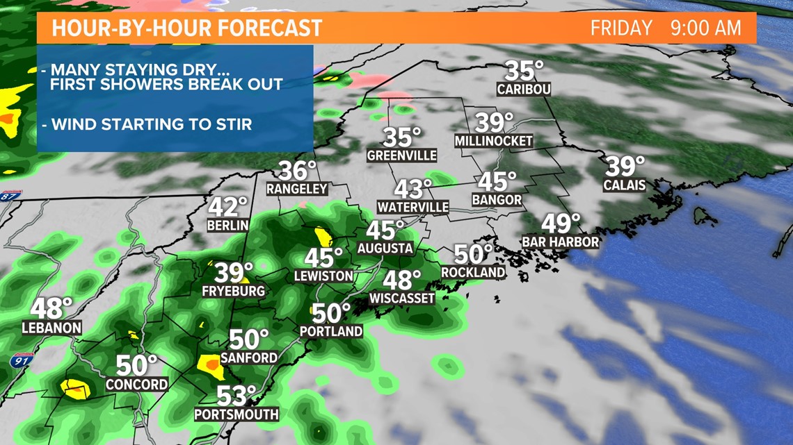
PORTLAND, Maine — An active pattern is expected over the next few days and it begins Friday with a potent system working through the Northeast. Showers will break out this morning but many will stay dry for the morning commute.
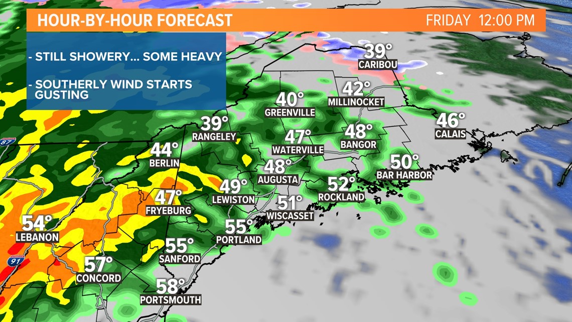
As we head through the middle of the day, showers will become more numerous, the wind will ramp up too.
It's going to be a bit wild later this afternoon and early this evening when a squall line of torrential rain, rumbles of thunder, and howling wind slice through the state. The commute home will be very challenging with drainage issues, hydroplaning, wet leaves, and the earlier sunset. Please be careful.
Morning:

Midday:

Afternoon/Evening:

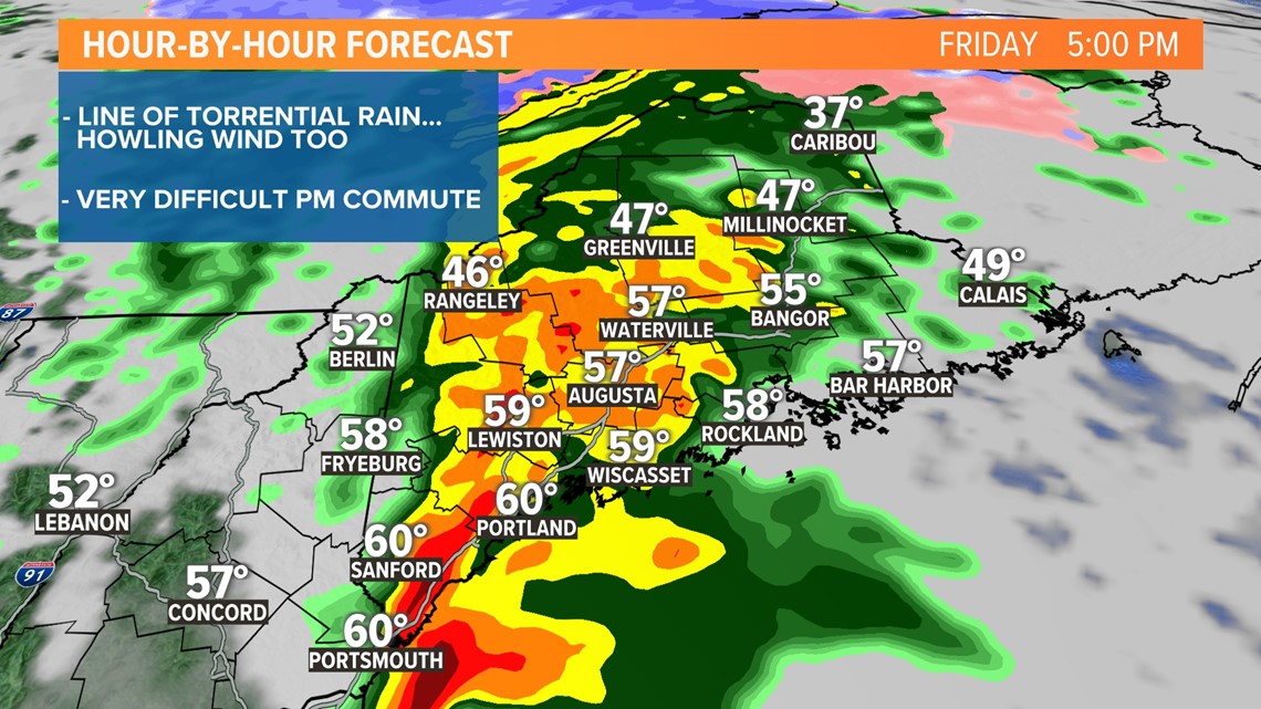

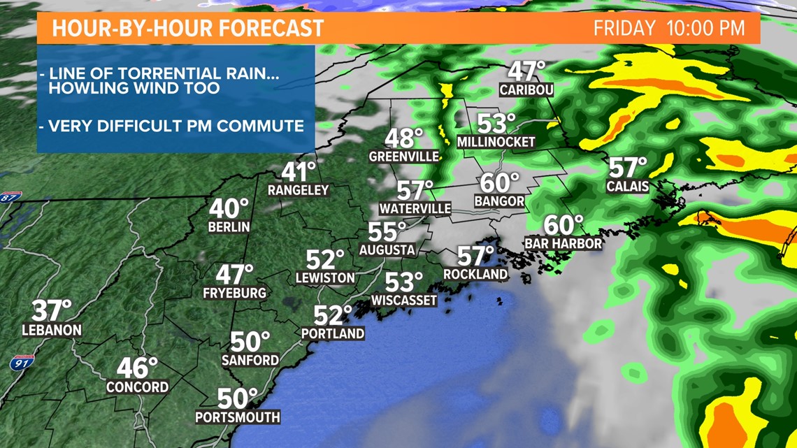
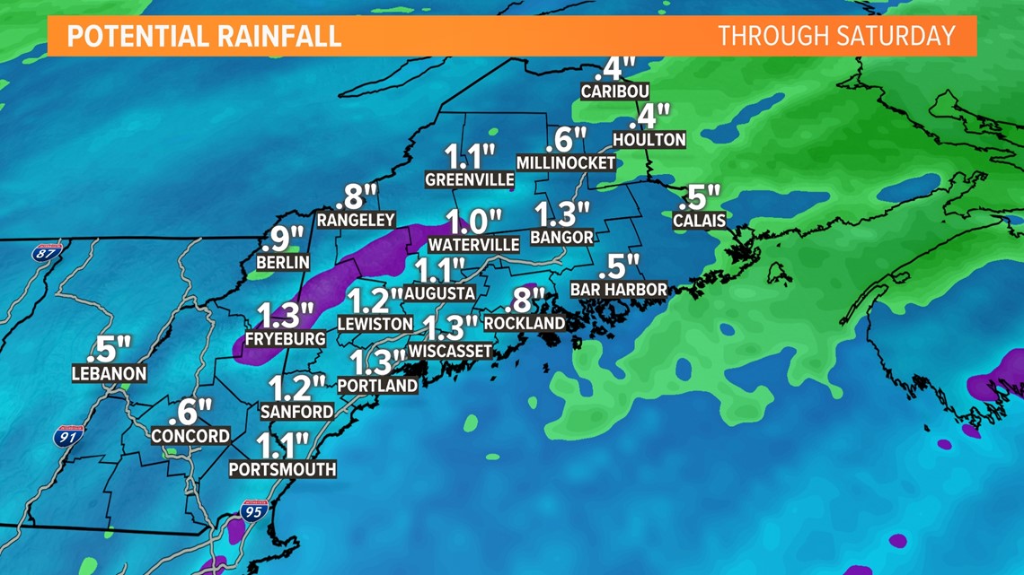
We are going to pick up around or over an inch of rain in a very short period of time. If you get an opportunity this morning, take a walk through your neighborhood and remove debris and leaves from around the storm drains. It will help alleviate the flooding risk when the downpours fall later today.

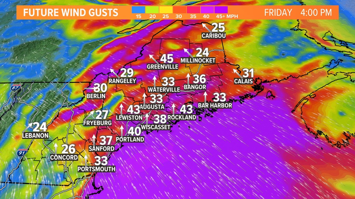
Another round of power outages is expected as well. I highly dislike this wind direction (I don't like using the word hate). A southerly wind component is never good for us, our trees aren't used to it. Add the fact that some leaves are still on trees and the ground isn't frozen yet and that adds up to outages.
The most susceptible areas are the coast and the higher elevations. At least the window for outages will be before we all go to bed and you won't be scrambling in the middle of the night searching for flashlights.

We clear out real quickly late this evening, though, and a lot of the weekend looks good.
RELATED: NEWS CENTER Maine Weather Forecast

