PORTLAND, Maine — There are plenty of Mainers who don't love the snow. But this time of year, I think we all can agree, there's nothing better than a white Christmas.
Low pressure is forming in the Tennessee Valley and will travel north and east through the Mid-Atlantic then just south of Cape Cod over the weekend. Beating the low into the Northeast will be a serious cold air surge. Outside of southern New Hampshire, there really isn't much concern for mixing, this should be primarily pure powder.
I'll be honest, I'm not in love with the mid levels. This is not an impressive shortwave at all and won't blow this low up into a Nor'easter. We won't have any wind issues or coastal flooding issues either. But where this storm lacks in energy, it will make up for in snow ratios. This is a true Arctic airmass, maximizing the snow fluff-factor.
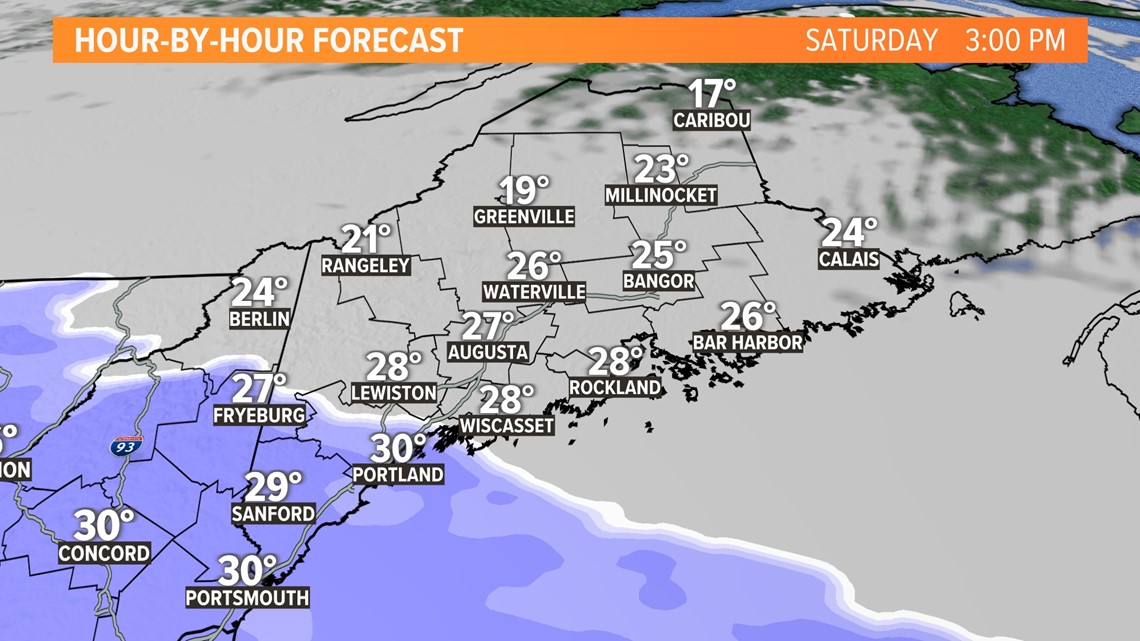
AFTERNOON:


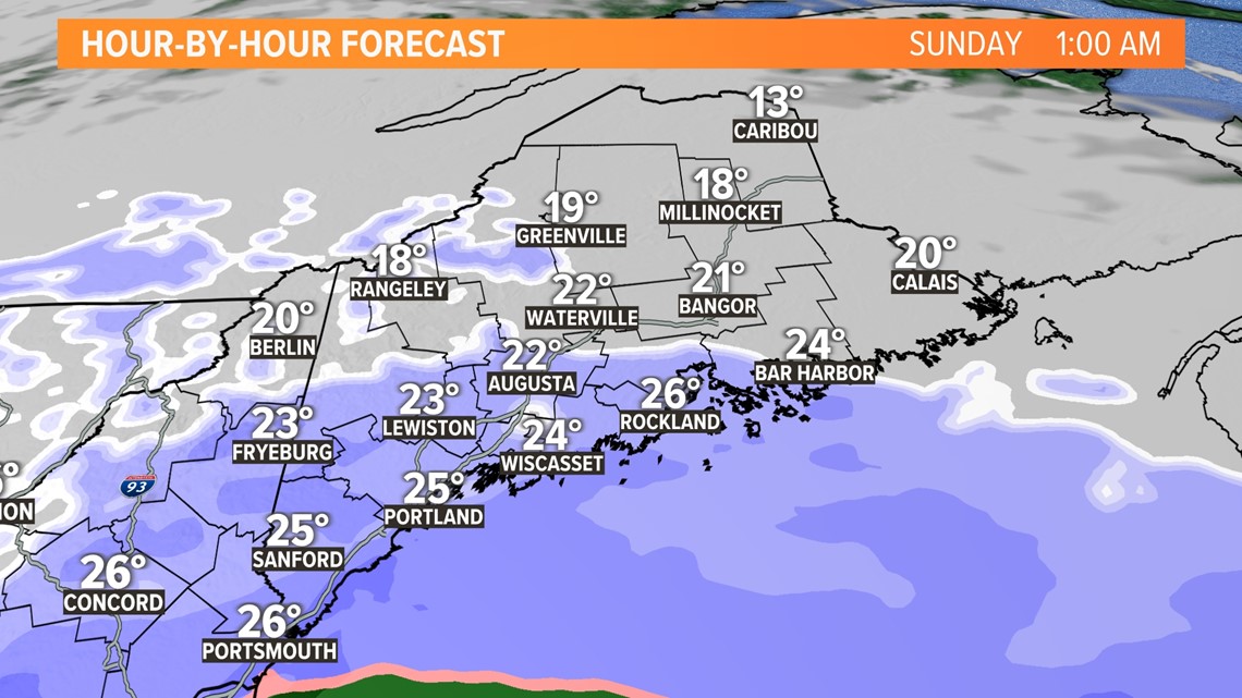
EVENING:


OVERNIGHT:


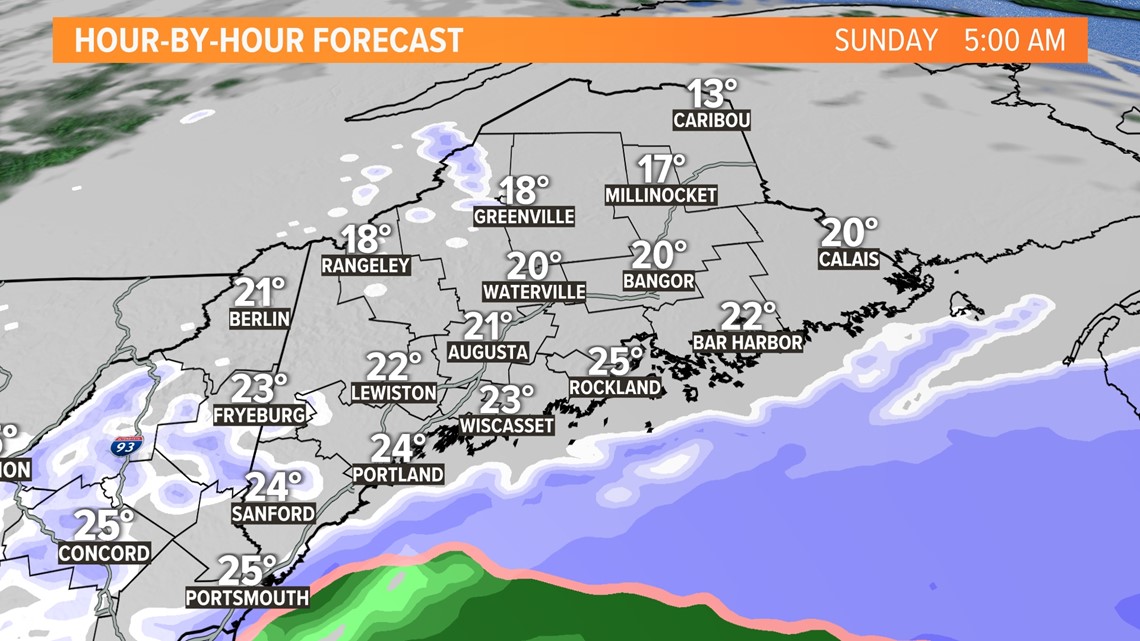
SUNDAY MORNING:


We're still fine-tuning the numbers so keep checking back for any updates.
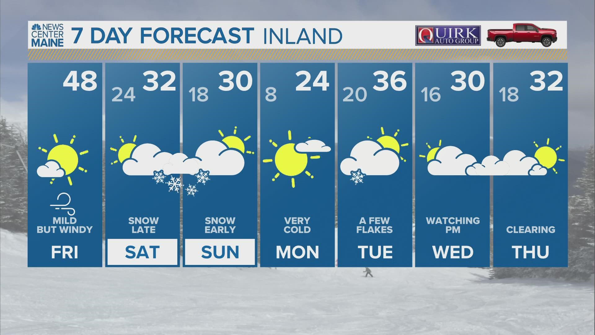
RELATED: NEWS CENTER Maine Weather Forecast

