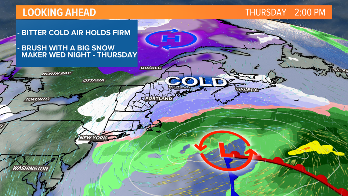
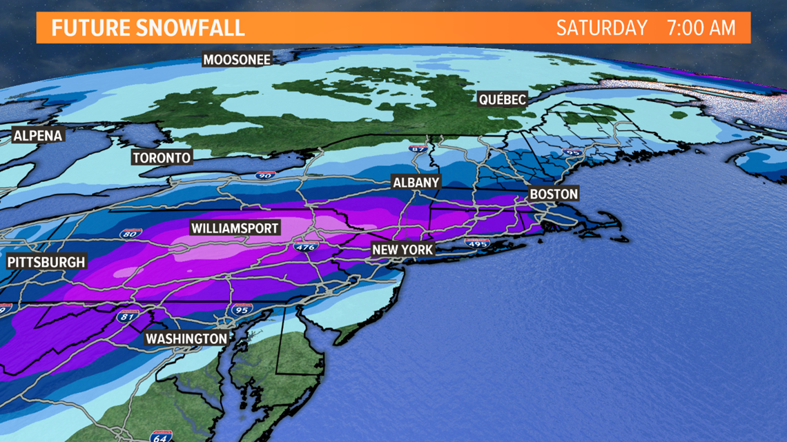
MAINE, USA — The east coast is bracing for a big snowstorm later this week. Some of the larger cities to our south haven't had a good snow thump in over a year, that's about to change. Abnormally cold, arctic air is marching south from Canada and temps will be significantly below normal all the way down into the mid-Atlantic. Meeting that cold air will be plenty of moisture from the deep south.


For Maine and New Hampshire, there's never been a question of precipitation type. There won't be any mixing, pure dry snow. Our dilemma is the track. Will the storm take a flatter track and pass harmlessly to our south or curl north into the Gulf of Maine with a high impact snowfall?


It's still a little early to answer that question but I'm leaning in the middle right now. The result is a stripe of a foot or more of snow from Pennsylvania through Southern New England. This puts Northern New England on the edge of heavy snow.


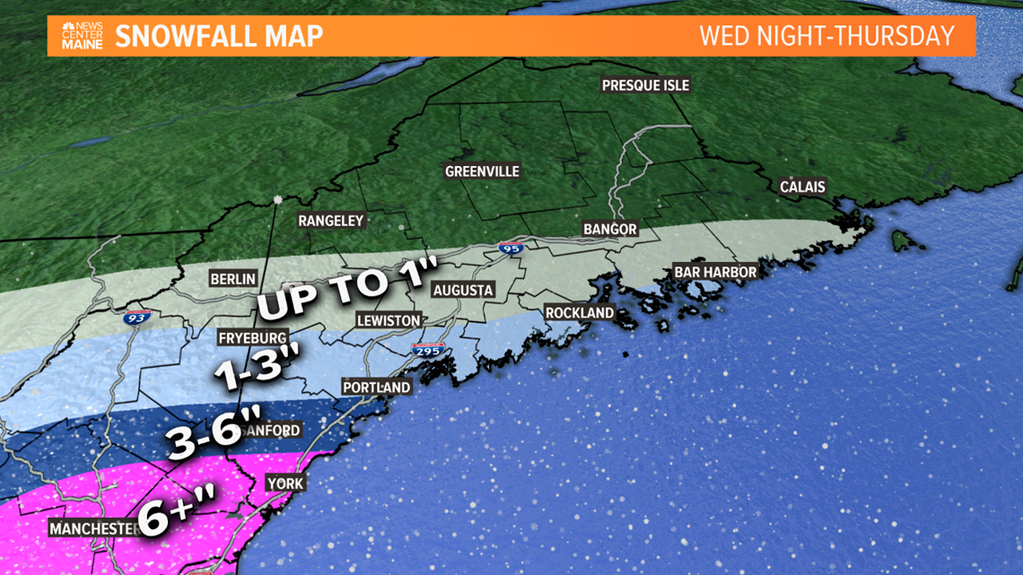
Although the current projection keeps the heaviest snow south of us, several inches are still likely in far southern Maine, especially York County. And with a razor-thin line between no snow and around a foot, if the track shifts a bit the numbers may be adjusted quite a bit. Keep checking back for updates.

