PORTLAND, Maine — Normally I like to wait for one storm to end before discussing the next in depth, but Mother Nature doesn't care what Keithie Poo likes.
The rapid succession of these storms means in order to give everyone time to plan, we have to move onto the next one.
Right now, the next storm is an area of showers and thunderstorms in the south.
But eventually it'll move into New England and become a pretty legit nor'easter.
Here's a look at the forecast, early snowfall estimates, and possible timeline for the storm that's on its way.
For the latest breaking news, weather, and traffic alerts, download the NEWS CENTER Maine mobile app.

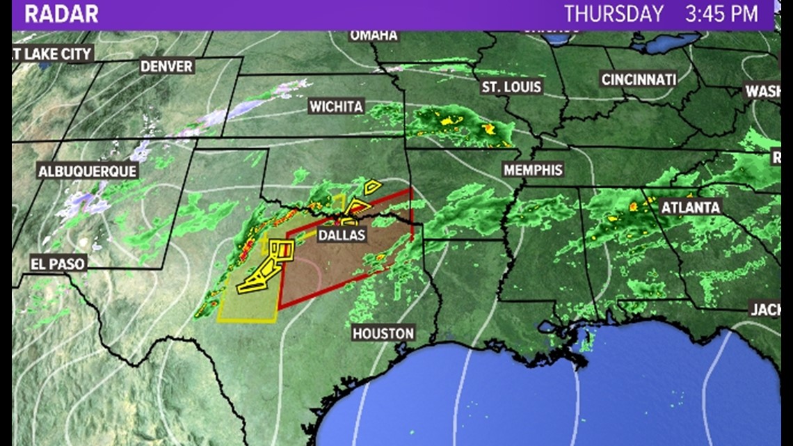

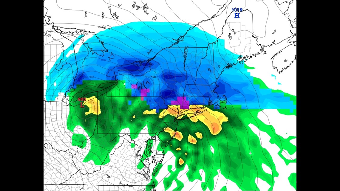
In yesterday's blog I told you there was a battle going on between the GFS and EURO models. The GFS was trying to cut off the snow shield way down near the midcoast, while the EURO insisted snow made it to Bangor. I leaned toward the EURO, and I'm very glad I did, because over the past 24 hours the GFS has slowly caved to the EURO. (#Cavejob).
That better agreement in the models now gives me more confidence that this is a pretty big storm for southern Maine.
So, let's talk timing.
Snow moves in during the "late evening" Friday in southern Maine. Let's say 10 p.m. to midnight.

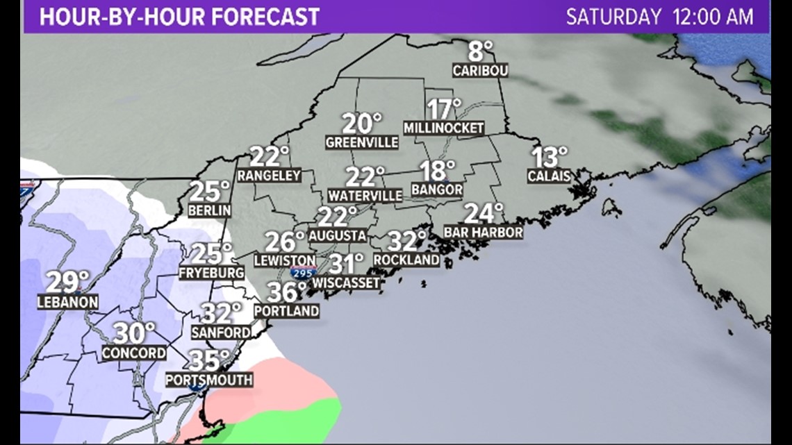
Once it starts advancing northeastward, snow gets pretty heavy over the southern part of the state and along the midcoast. During the early morning hours, snowfall rates could approach 2 inches per hour.

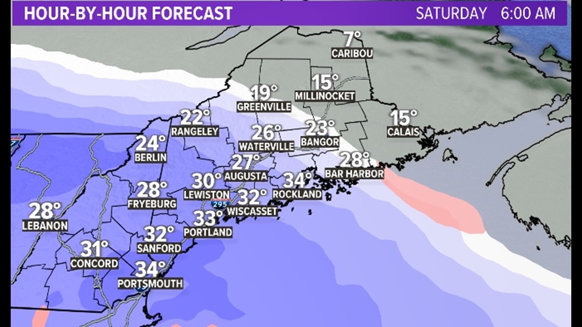
Those heavy snowfall rates continue through the middle of the day, and the snow finally gets into Bangor a maybe just a little farther north. At some point we are going to have surface temperature issues along the southern coastline, but I think we can overcome that with raw snowfall rates. If it's dumping snow at 34 degrees Fahrenheit, even if you lose half the dendrites on the way down, you're still going to accumulate. That's what I think will happen.

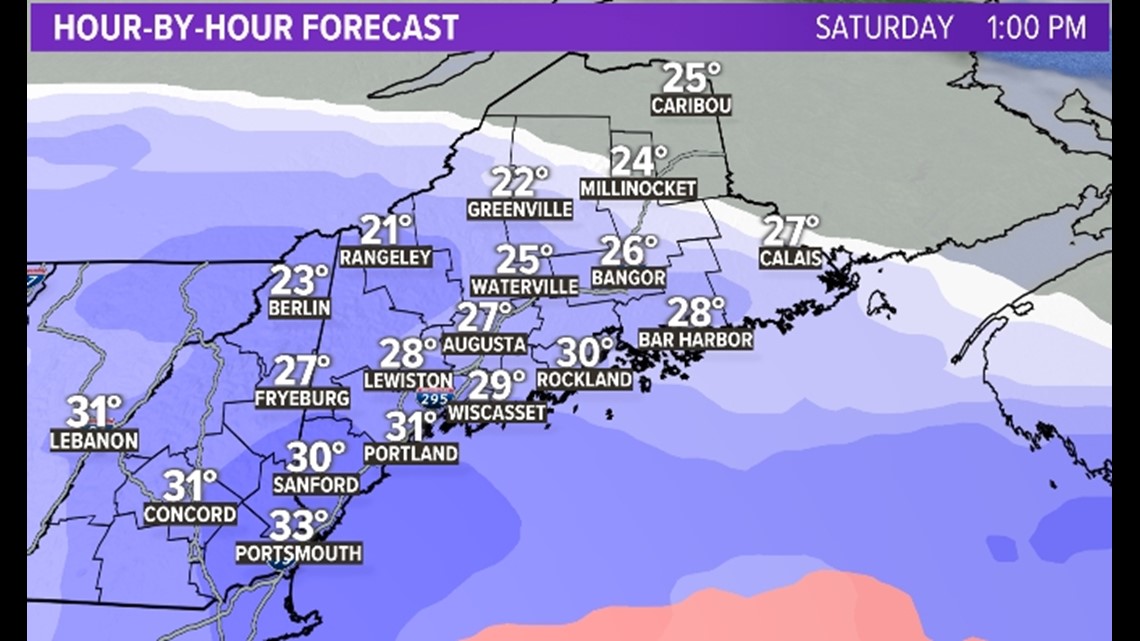
This will be an all-day event. Below is the predicted radar for 7 p.m. Saturday. Snow continues, especially along the coastline.

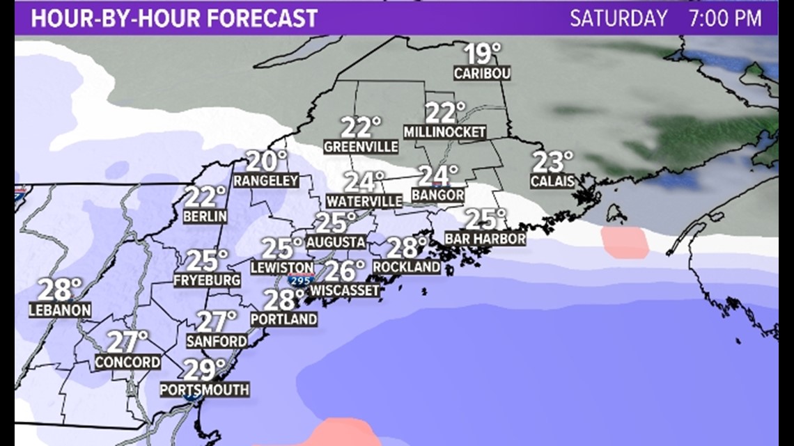
It's not until 10 p.m. Saturday to midnight when this whole thing wraps up. SO, even with some boundary layer temperature issues along the coast, I think the right thing to do here is pull the 8-12 inch contour all the way to the ocean.

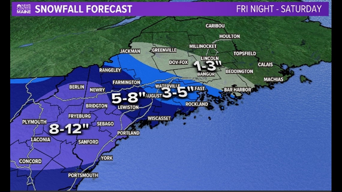
There's the potential Todd will see fit to add a 12-inch-plus contour in the Sebago area in the morning, but we decided to hold off for now.
One final note: This snow will be paste along the coast. That, combined with wind gusts up to 40 mph, could cause some power outages there. So do your best to be prepared for that possibility.
Carson out.
Find me on Instagram here.

