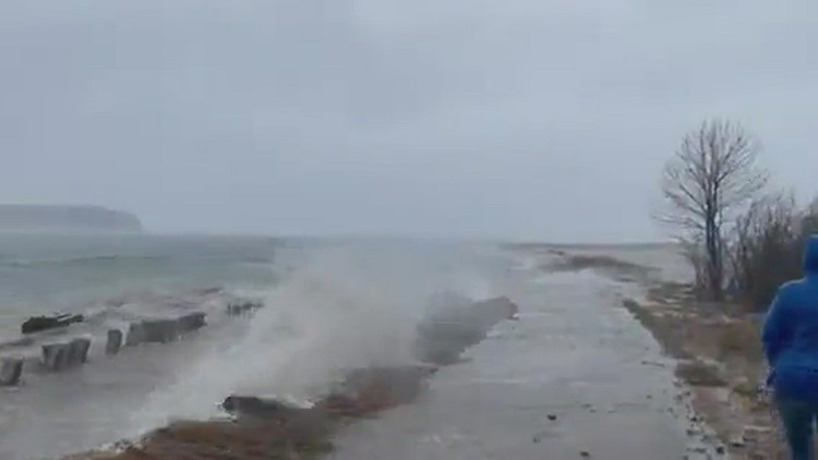
MAINE, USA — The storm on Friday, Dec. 23 brought high winds, rain, snow, and flooding to all parts of the state. Unfortunately, it's not over quite yet.
Friday's storm brought a lot of water to Maine, with many areas receiving more than three inches of rain. While there will still be come coastal flooding on Saturday, the main issue is inland flooding.
Reports of flooding have come in from many areas, including Kennebec and York Counties.
ME-160 in western Maine closed at 8:30 a.m. at Great Brook because of a stream flooding. Webb Road also closed in Kennebec County because of a washout. Blaine Avenue at Butter Street in Guilford is washed out and closed.

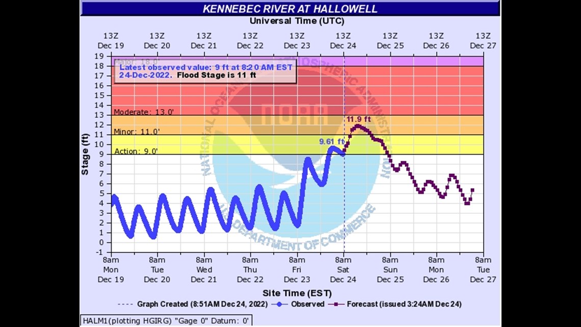
Ice was a concern Saturday morning because of the flash freeze, but roads dried pretty well. The main concern for ice Saturday will be where the rivers flood.
River flooding is delayed because the water has to make its way to the river itself. It runs off the land into creeks and streams. Those eventually empty into the river, which causes the flooding.
Coastal flooding is still a concern Saturday morning as well, but much less than Friday.

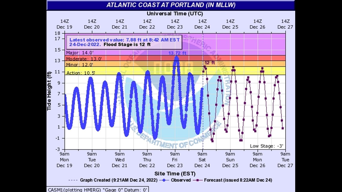
The water is set to crest at 12 feet this morning during high tide, which is significantly lower than it was on Friday; but, this is still in the minor flood stages.
At this level, four to six inches of water could flood the wharfs and some side streets near the Portland Pier. Marginal Way and Somerset Street in Portland may see some flooding, as well.
One of the other big issues of the day is power outages across the state. That is compounded with the freezing air that has moved into the state. You can check current outages for Central Maine Power here and for Versant Power here.

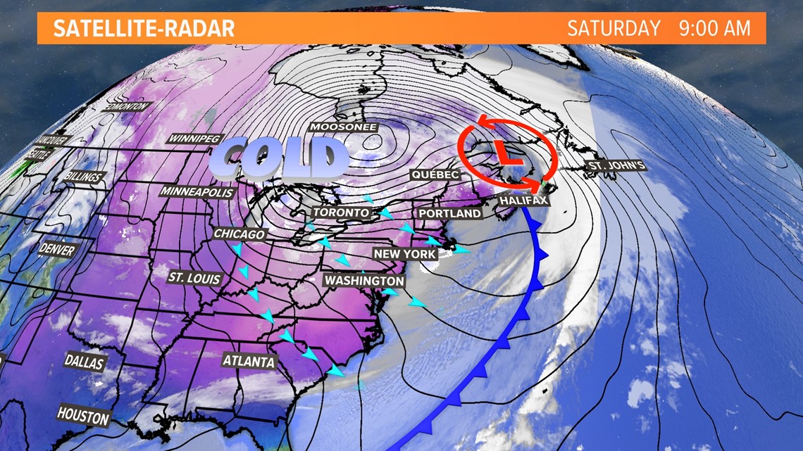
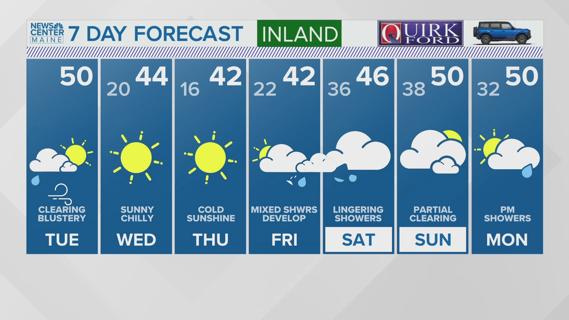
Cold air has moved in behind this system and dropped temperatures well below freezing. Many Mainers are starting the day with sub-zero wind chill temperatures, as highs struggle to get out of the teens.

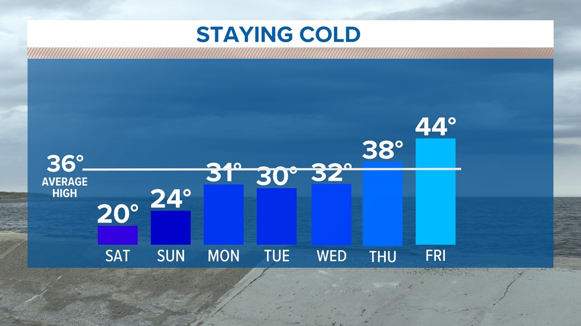
Stay safe and warm this week.
Merry Christmas, and Happy Holidays!
- Aaron


