PORTLAND, Maine — It’s now October, and tropical storm season is still going strong in the Atlantic basin.
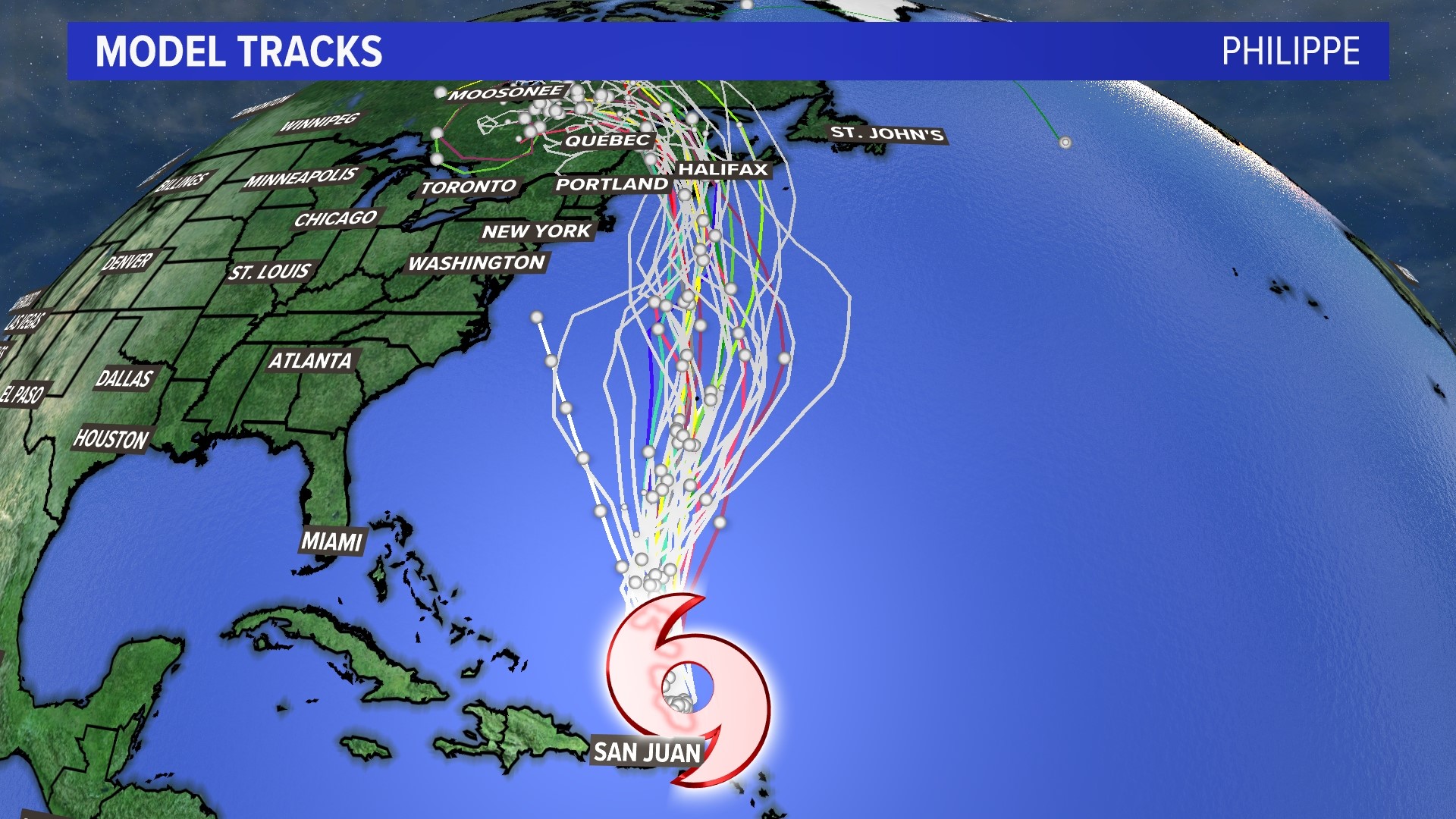
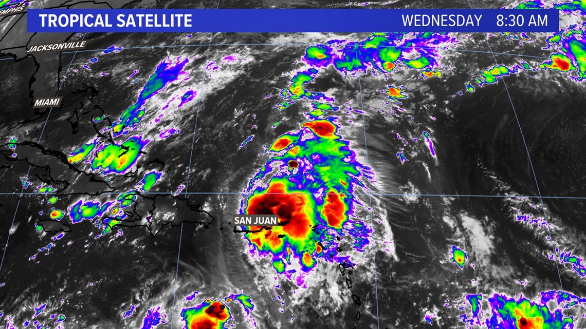
Tropical Storm Philippe has formed north of Puerto Rico with torrential rains expected as it heads north to Bermuda. The storm will be steered by high pressure to the north and an incoming trough of low pressure to the west. This setup will allow the storm to be absorbed by a cold front as it heads north into Maine and Atlantic Canada this weekend with heavy rain, wind, and waves.

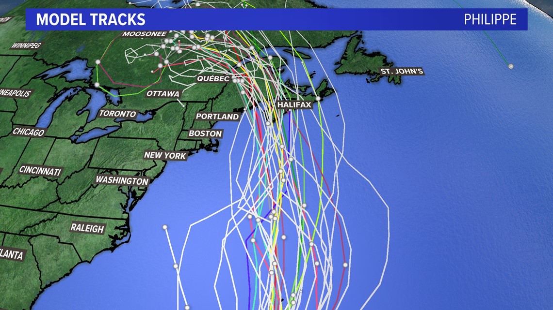
Spaghetti model tracks for Philippe take it north, over Bermuda in a couple of days while it picks up speed from the advancing trough to the west.



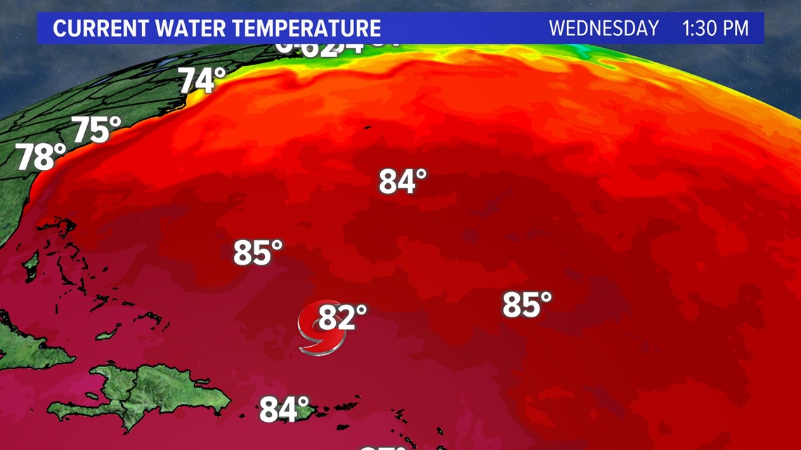
The consensus takes the storm over the Gulf Stream later Friday into Saturday, then it gets cut off from its fuel source of warm water.

Currently, hurricane hunters are finding a tropical storm that’s fighting wind shear north of Puerto Rico.

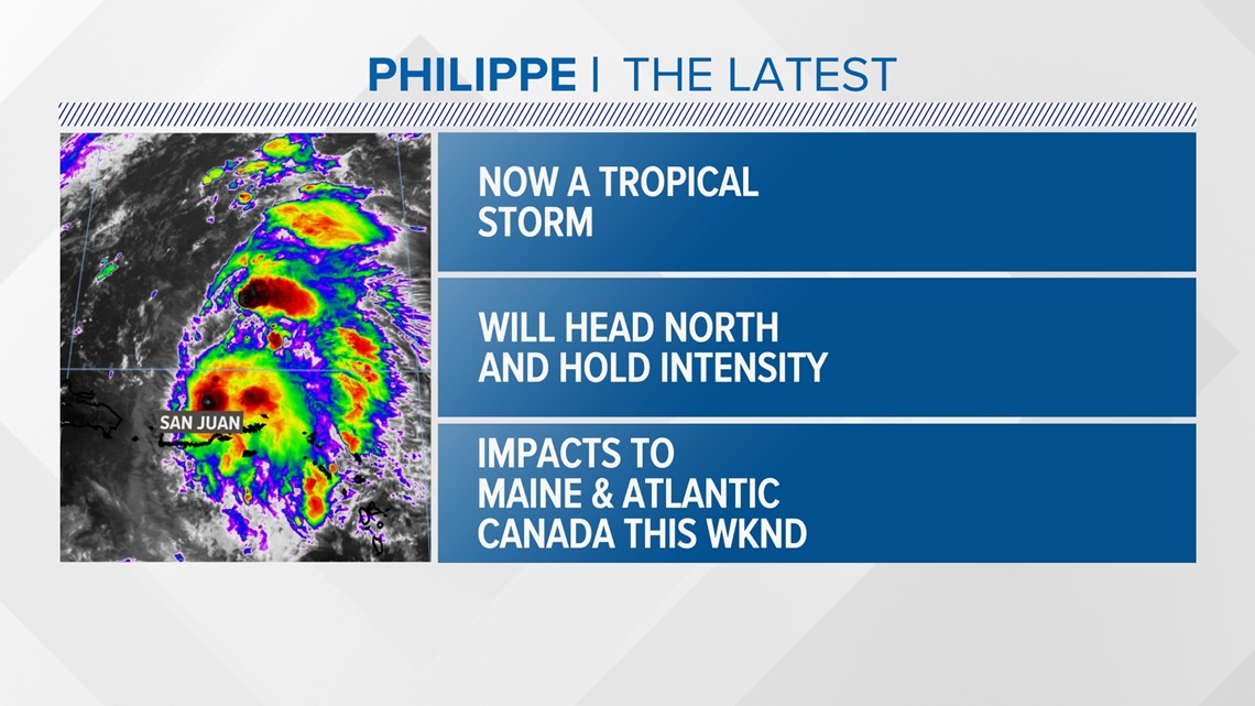
The storm will hold intensity and head north towards Bermuda soon.

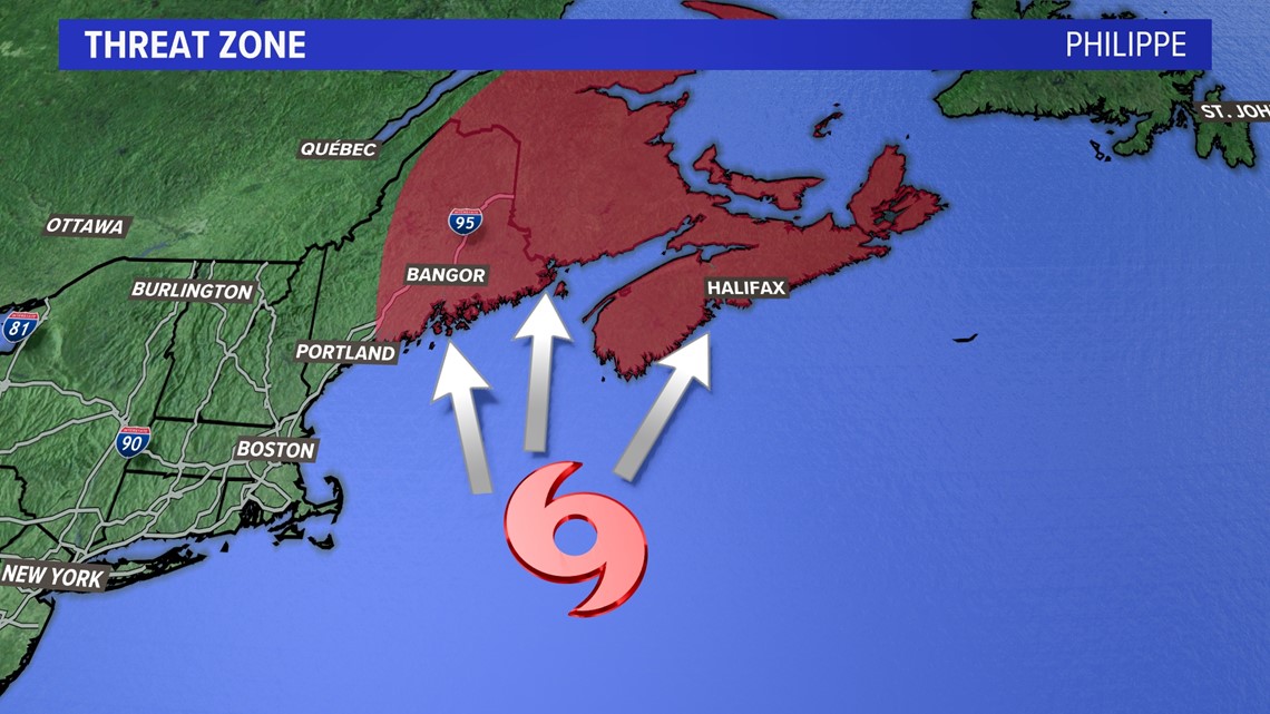
There will be impacts to Maine and Atlantic Canada in the threat zone I’ve highlighted above.

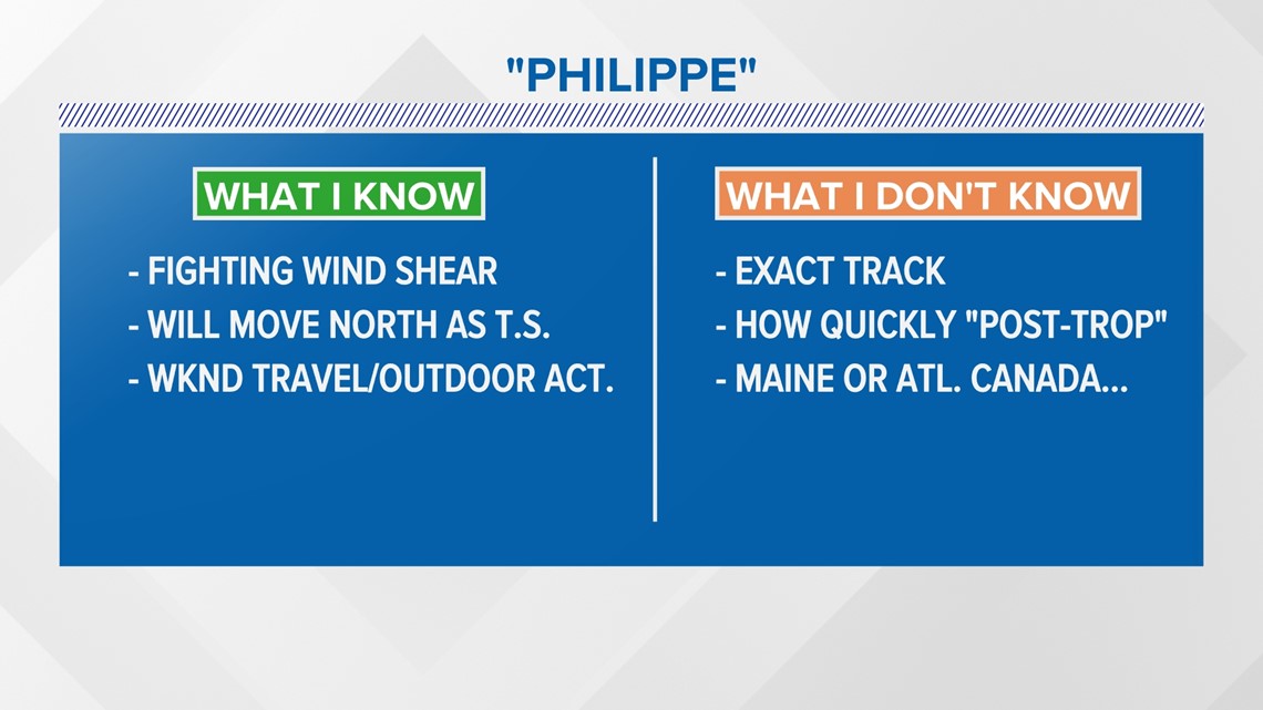
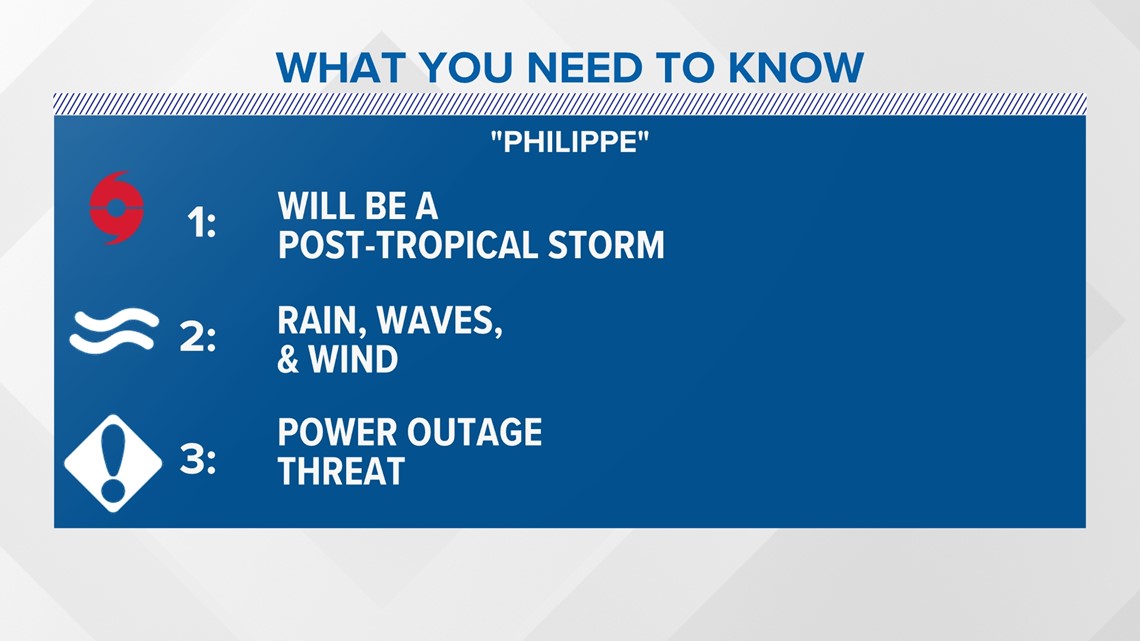
What I know at this time is that weekend travel and outdoor activities will be impacted due to the rain and wind. I don’t know the exact track, but it is unlikely the storm holds tropical characteristics when it gets into the Gulf of Maine.

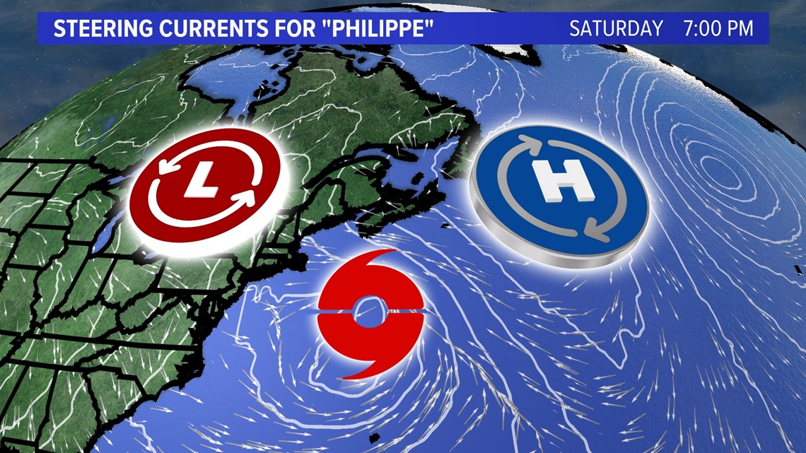
Steering currents for the storm show high pressure pushing it into a large trough to our west. The storm will merge with a cold front and then move north faster by the weekend.

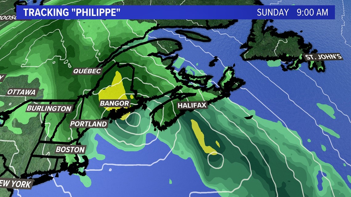
The influence of the trough will give the storm a shot of energy and heavy rain is expected on the west and northern side of the extratropical cyclone.

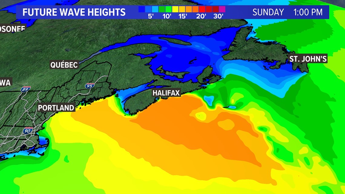
Waves will be in the 10 to 20-foot range near shore, especially for the midcoast to Down East and Nova Scotia.

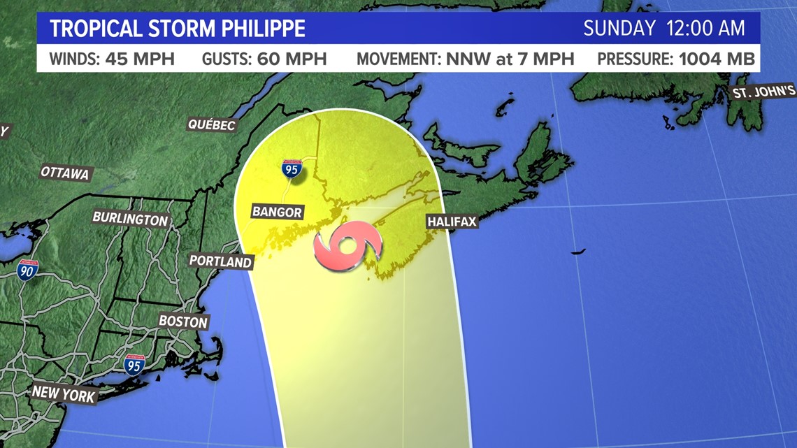
Either way, the storm will be moving through New England and Atlantic Canada by the weekend, so it’s a good idea to check back for the latest impacts this week.

I’ll have more information on my social media as we get closer to Saturday.


Follow along for more weather specials and pizza discussions on my social media:

