MAINE, USA — The ingredients are all still there for our first big snow chance (primarily for Southern Maine) late Thursday night and Friday morning.
We've got abnormally cold air. We've got ample moisture to work with. We've got the timing on our side...at night when it's coldest. What we don't have is the perfect track.


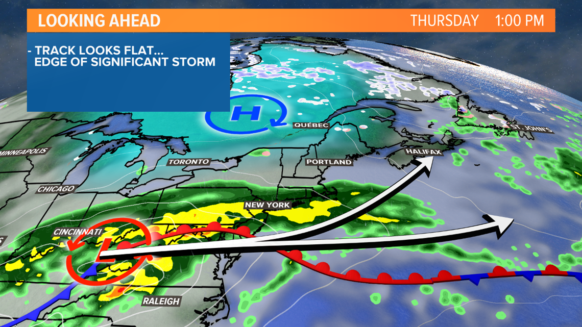
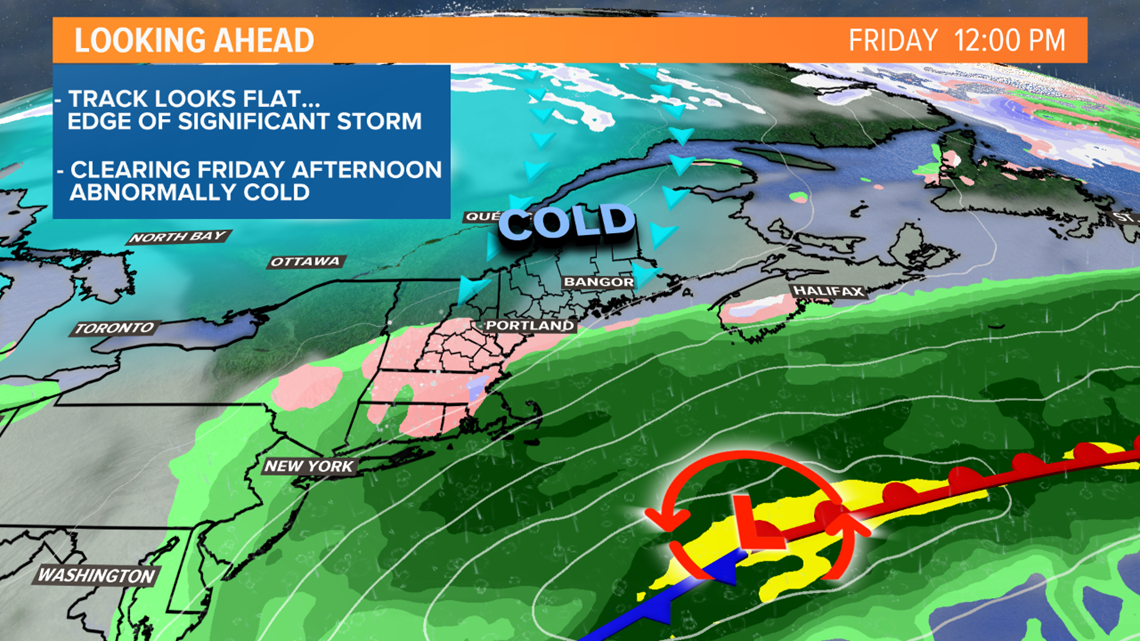
For October snow to fall, you need it all to come together. Right now, the track is the only missing ingredient. It looks flat, keeping us on the edge of the precipitation shield with the heavy rain and snow staying just south of us.


We'll still see some rain and snow though. Rain will start falling Thursday afternoon before mixing and changing to snow late Thursday night. It seems to be a quick hitter too. The storm will clear out by Friday midday or afternoon so the window for accumulation is small.


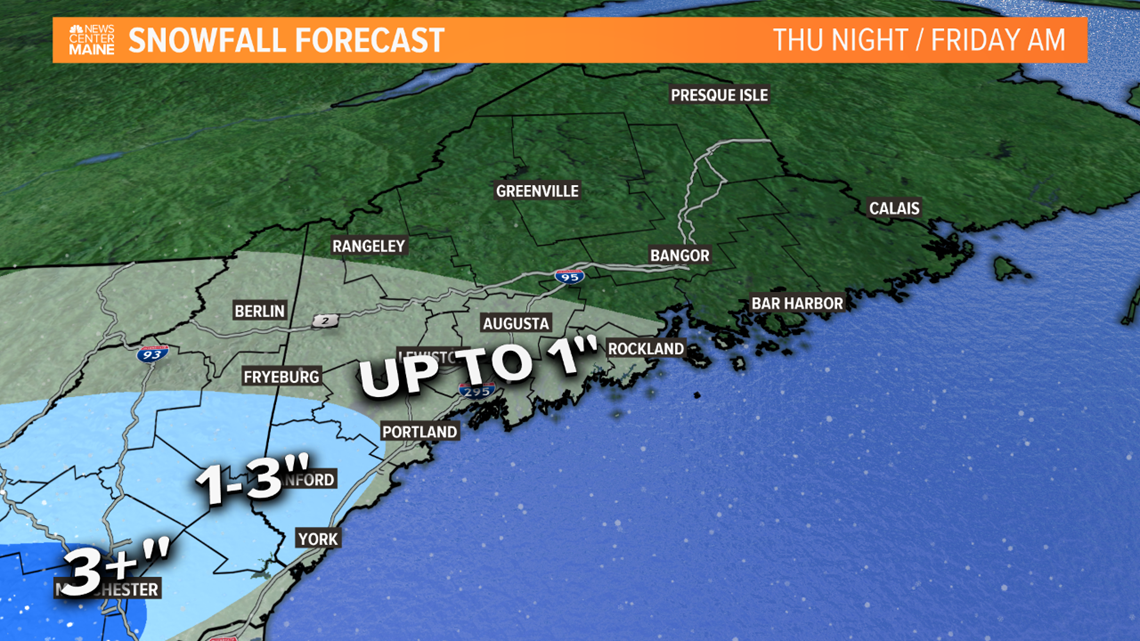
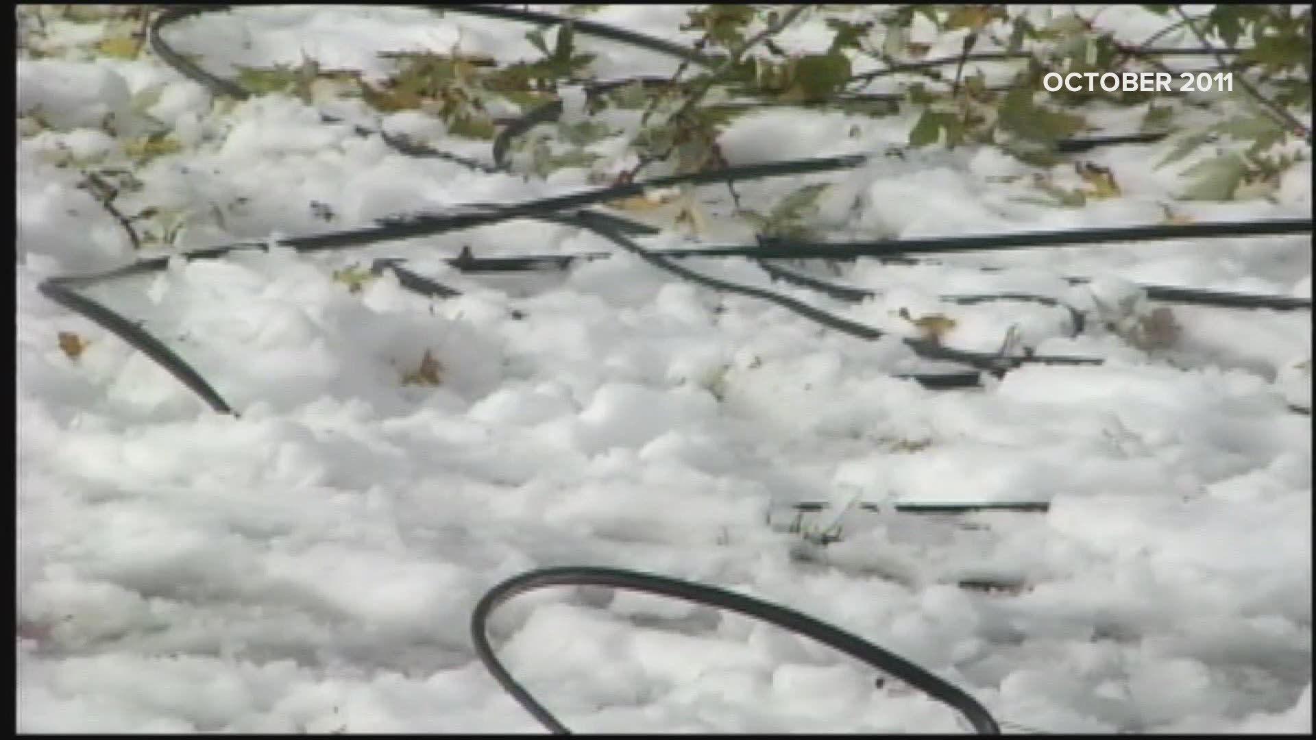
Here is my latest thinking. Minor accumulations are likely over Southern Maine. Probably around an inch in Portland with a little more south of the city. The threshold for power outages on trees with leaves is around 4" so it looks like we avoid a major outage event. Keep in mind this storm is still a couple of days away and shifting around is still possible. But as of now, we narrowly miss a high impact snowstorm.
Todd - https://www.instagram.com/todd_gutner/


