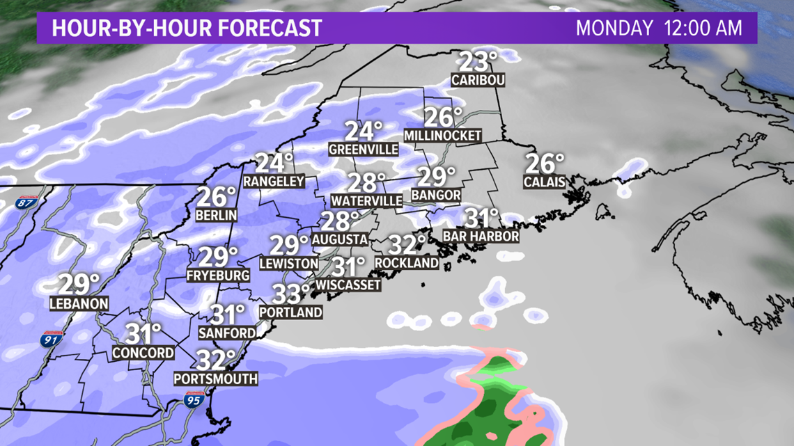
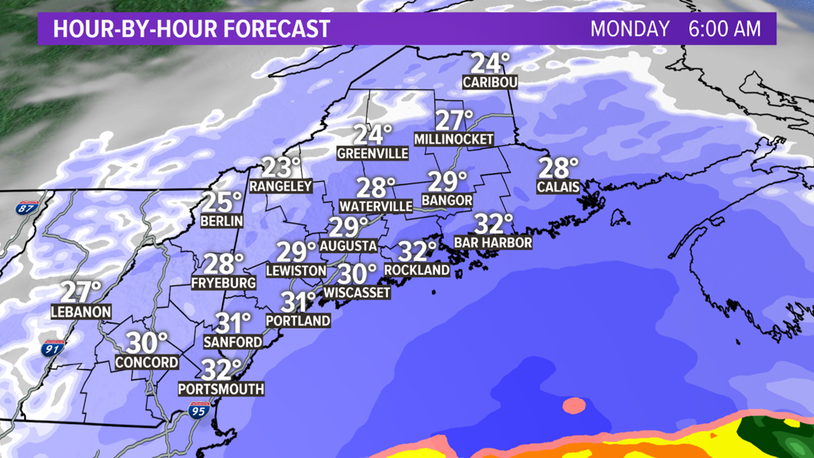
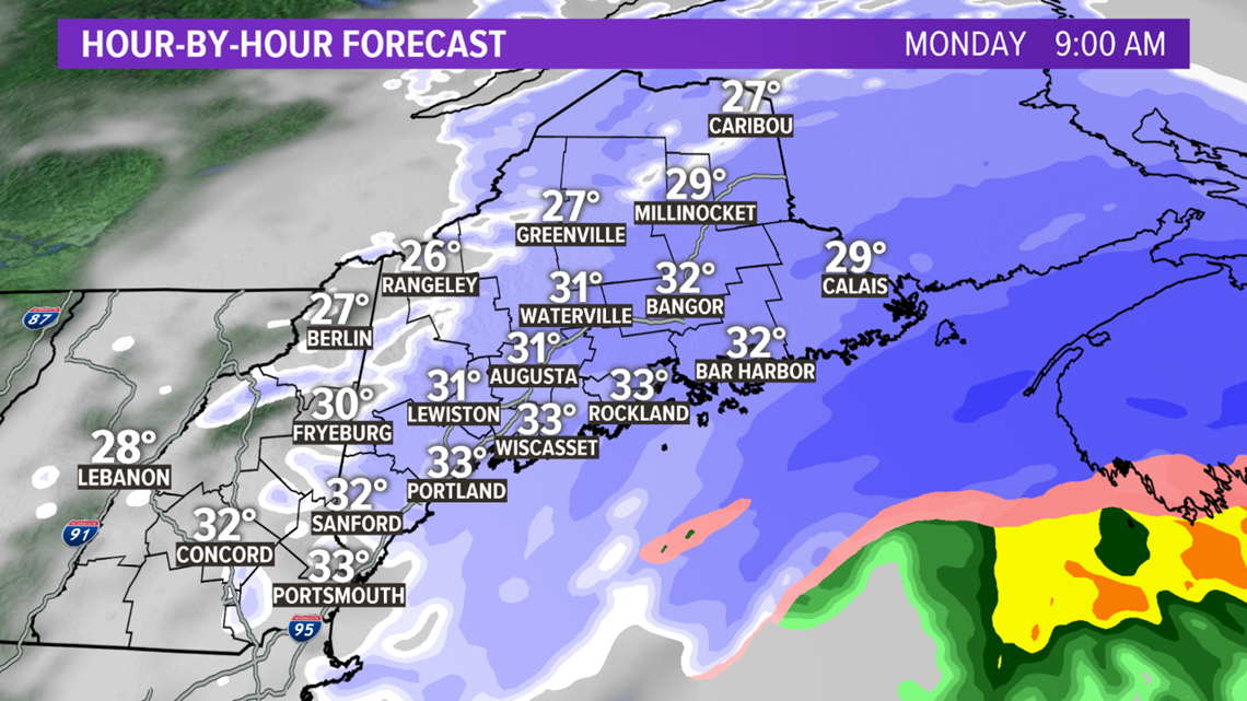
Here's something you haven't heard much of this winter: The coast will see the most snow out of our next storm.
Quick note about this one: It's been tricky to forecast. How close it comes and how heavy the snow will be is still a bit of a question, but I feel pretty good about where we're at now.
First things first, you have a pretty decent Sunday to enjoy. We'll have some sun through the first half of the day, then clouds increase. Highs will be in the 30s with a light wind.


Snow starts in western Maine between 9 p.m. and midnight, between midnight and 3 a.m. in eastern Maine.


Moderate to at times heavy snow will move through Monday morning, heaviest near the coast. The morning commute will be snowy. With temperatures in the upper 20s and low 30s, this would be what I call a 'normal' snow. It won't be very fluffy but it also won't be the wet, heavy paste we can get this time of year.


Snow will end from west to east during the late morning, probably ending in Portland around 10 a.m. and in Augusta around noon.


It will continue to snow in the Greater Bangor area, much of eastern and northern Maine into the afternoon.


Totals: 2-4" for the western mountains. 4-8" for much of southern and central Maine including Portland, Lewiston, Augusta and Bangor. 8-12" for Downeast Maine.


