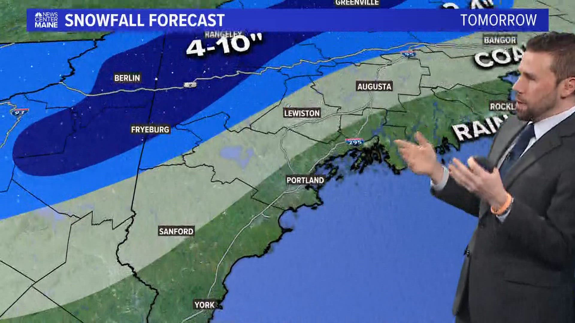
PORTLAND, Maine — March Madness has arrived with the biggest storm of the month so far. This is a significant storm that has already begun, and will be the most impactful system of the entire week ahead. We're expecting moderate coastal flooding, including inundation of homes, businesses, and numerous road closures before and during high tide before noon today.
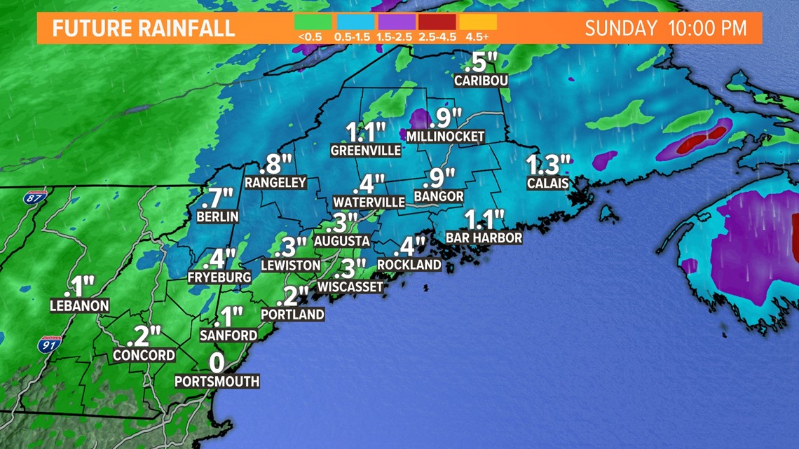
Rain began last night and will end later today. There will be 1-3 inches of rainfall total. Rivers, creeks, streams, and brooks will all rise significantly. Ice will decay and break off, heading downstream and causing jams. Significant snowmelt along with heavy snowfall is also expected, especially in the western and northern mountains of Maine along with the White Mountains of New Hampshire.
Wind will bring down limbs and trees due to saturated ground and gusts up to 60 mph, especially along the coastline. The storm will wrap up and pull out of the region on Monday with rain and snow showers from north to south.

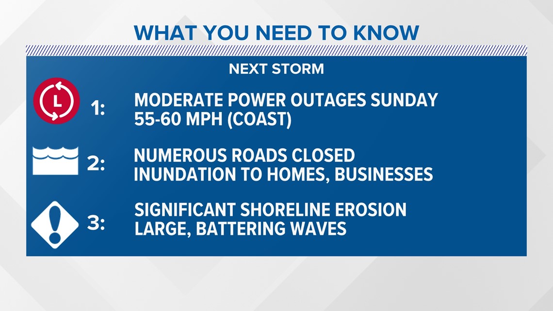
Here's a timeline of the storm:
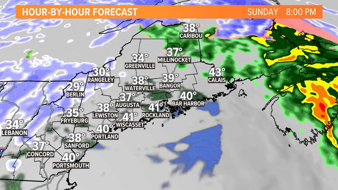
The whole system will continue to move to the NE today with it mainly out of the state later this evening.

Precipitation amounts will be hefty, especially considering we have saturated ground from a rainy start to the month. Most of us are still expecting an additional 0.5-1.0" of rain.

Snow totals for this storm system are nothing to laugh at either. Most of the state was looking at less than 4 inches, but it won't look like it due to the rain. The snow came first and is already being melted by the snow.

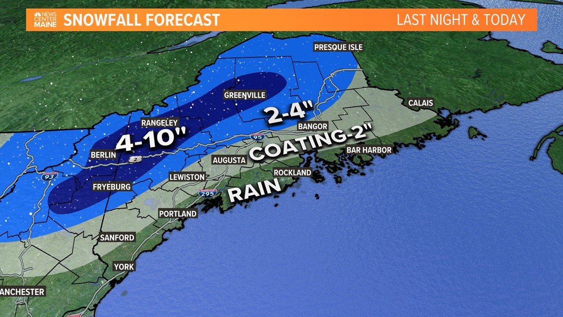
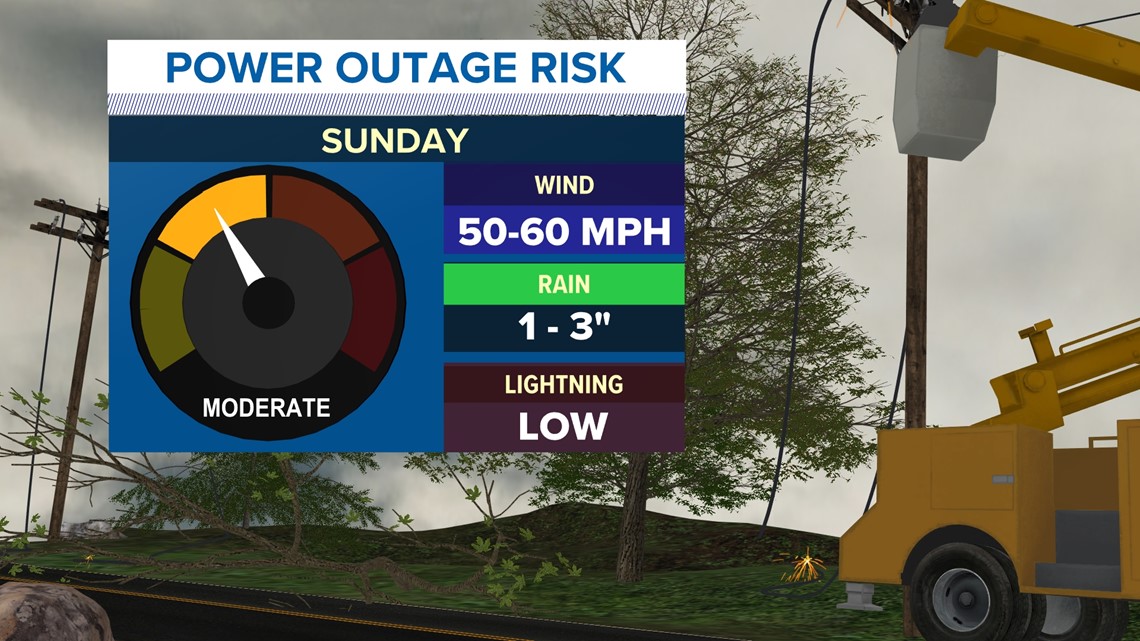
High wind is a concern with more wind gusts up to 50-60 mph, especially along the coastline where a low-level jet and heavy rain will push the wind down to ground level.
High tide is hitting just before noon today. The astronomical tides are already high on their own (you may have heard the term 'King Tide'). That along with the SE winds mean coastal flooding is a major concern today.
Large, battering waves will rock the shoreline. Numerous roads will be closed, and businesses and homes will flood in low-lying areas.
The high winds and heavy wet snow will unfortunately cause power outages as well. The most likely areas to see issues will be immediately along the coastline. These can also head inland as well where high winds are still expected, and heavy wet snow can also bring down tree limbs.

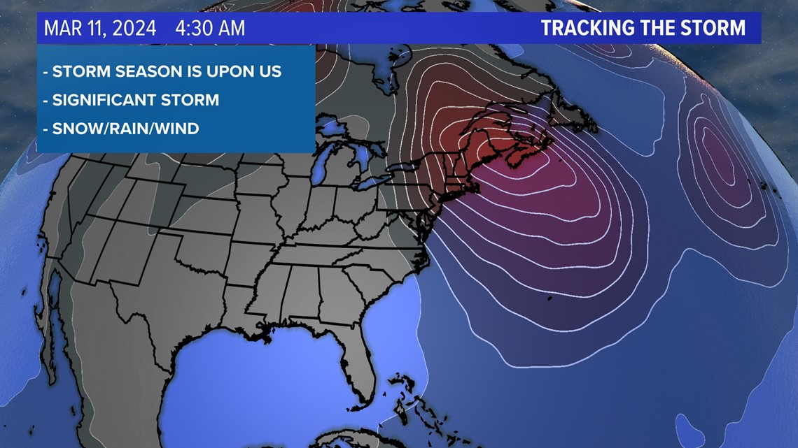
March can be a stormy month in Maine and this time it’s no different. Tightly packed isobars mean a strong storm signal with an inside runner track, although not as far inside as the December/January storms we saw recently.

I’ll have updates on social media.


Follow along for more weather blogs and pizza discussion.

