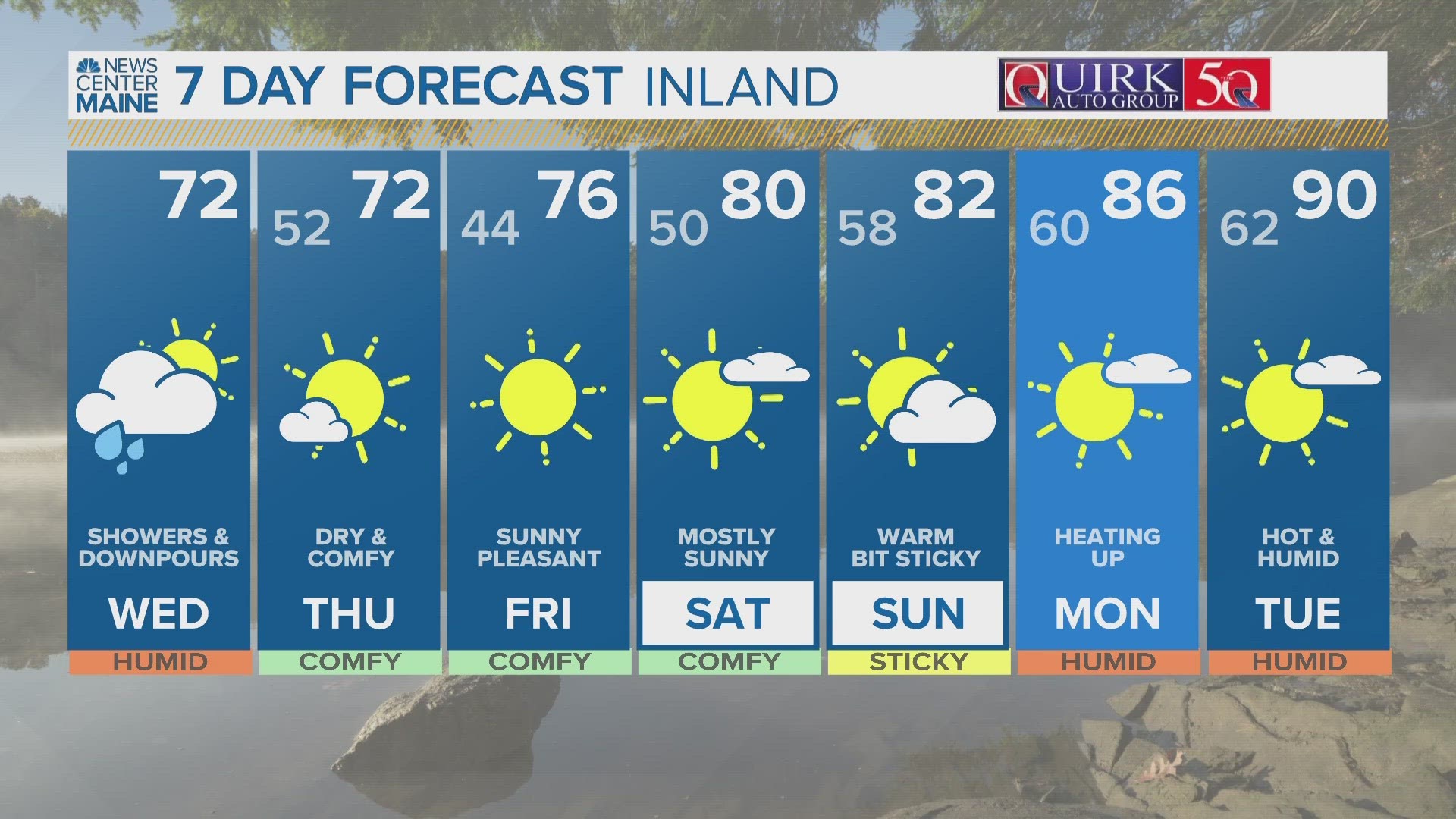
PORTLAND, Maine — We will not see any wind or rain from Hurricane Franklin, but there will be plenty of rip currents Wednesday and Thursday. Franklin will remain a distant hurricane, but the threat of dangerous swimming stays high despite lots of sunshine.

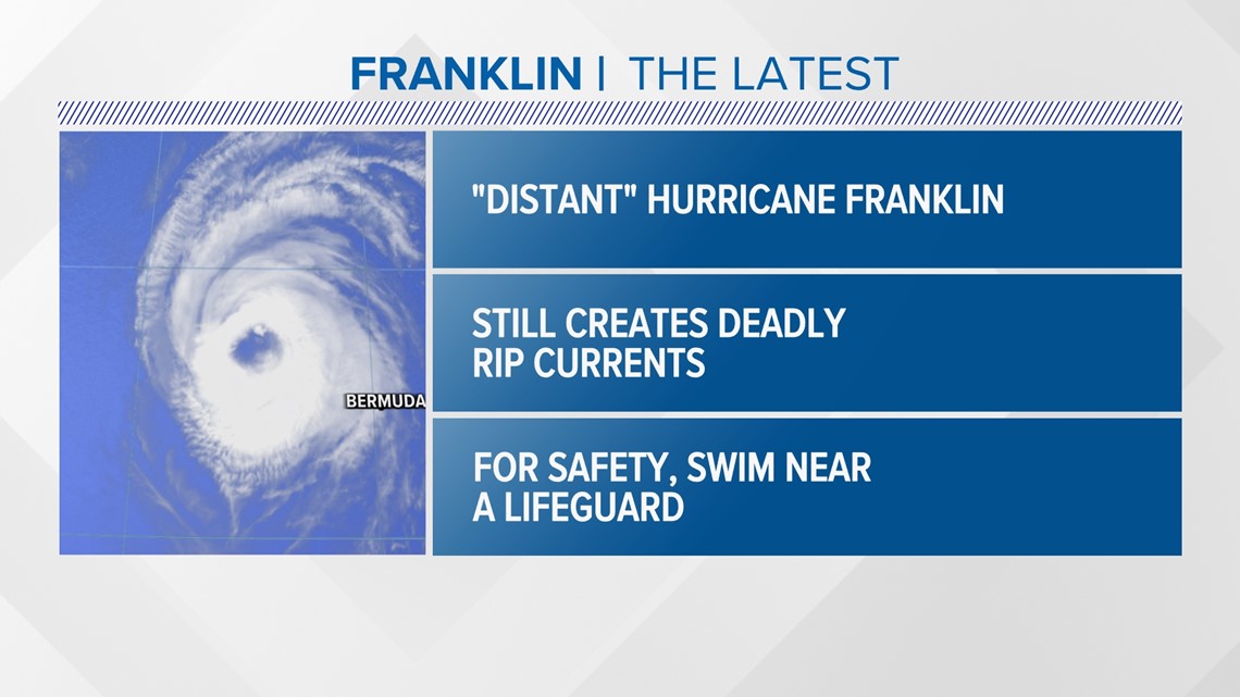
RELATED: Satellite images show the force of Hurricanes Idalia, Franklin as millions prepare for storms

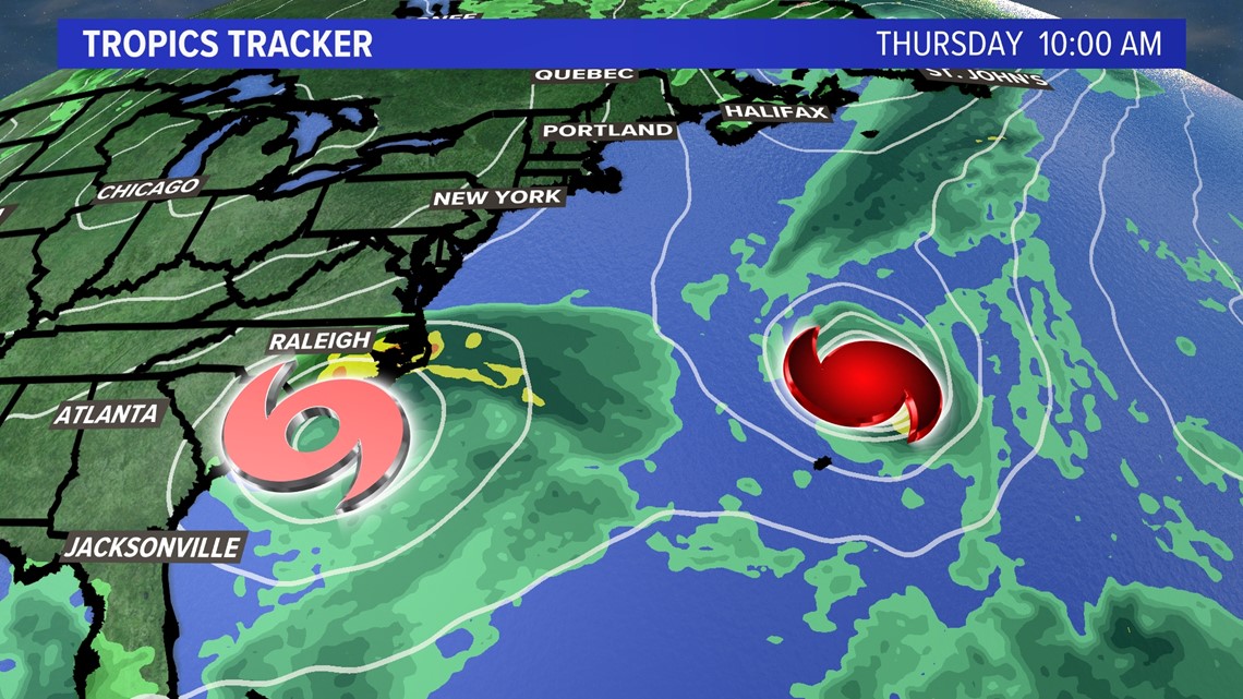
By Thursday morning the tropics tracker shows Idalia transforming into a tropical storm off the coast of North Carolina, with Franklin still a hurricane just north of Bermuda.

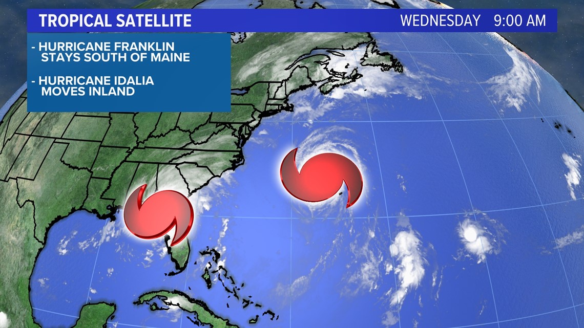
Idalia and Franklin will both stay well offshore of the Maine coastline the next few days.

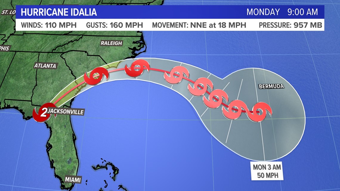

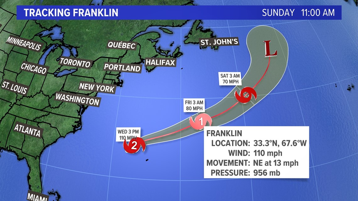
But Franklin will send swells hundreds of miles from its center up to the Maine coastline, where a high surf advisory is up.

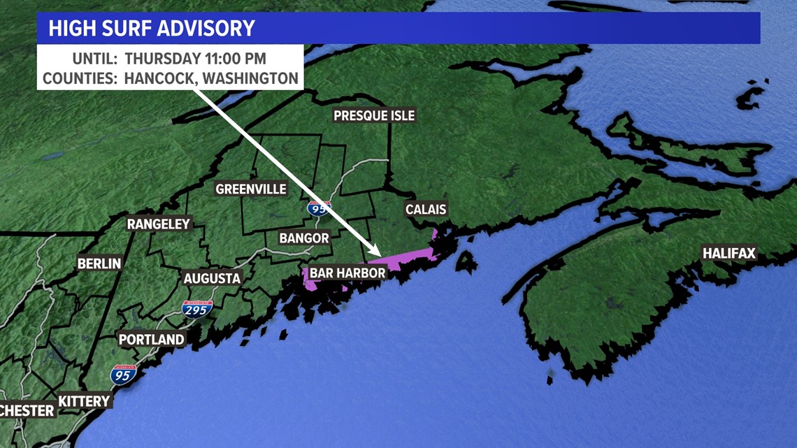
Look for 4-to-7-foot seas along the Downeast coastline and a moderate to high rip current risk.

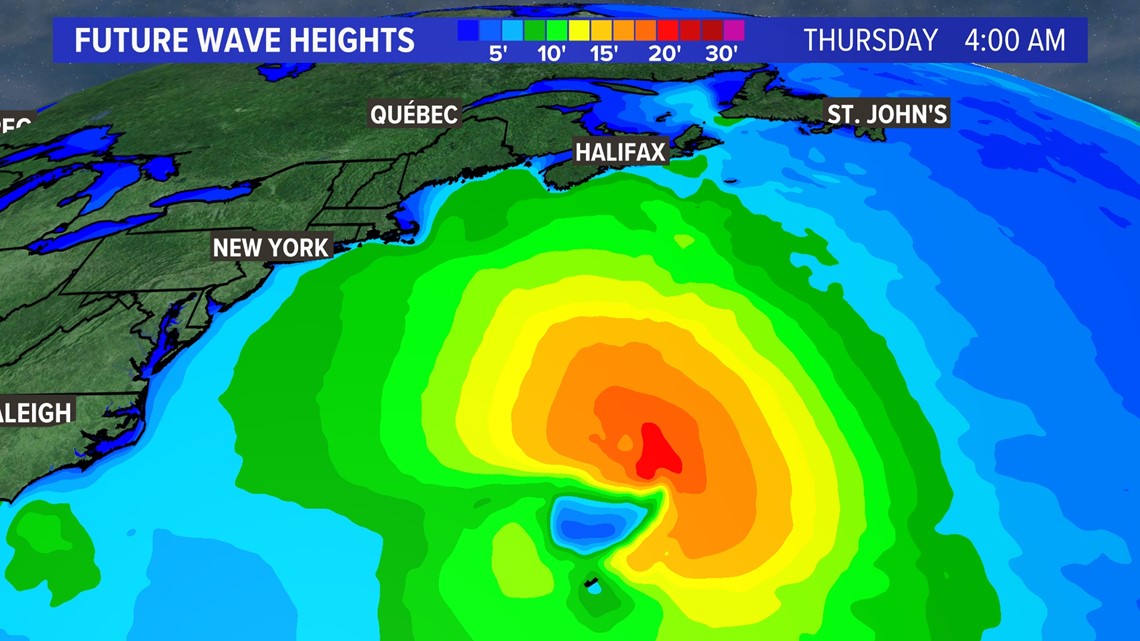
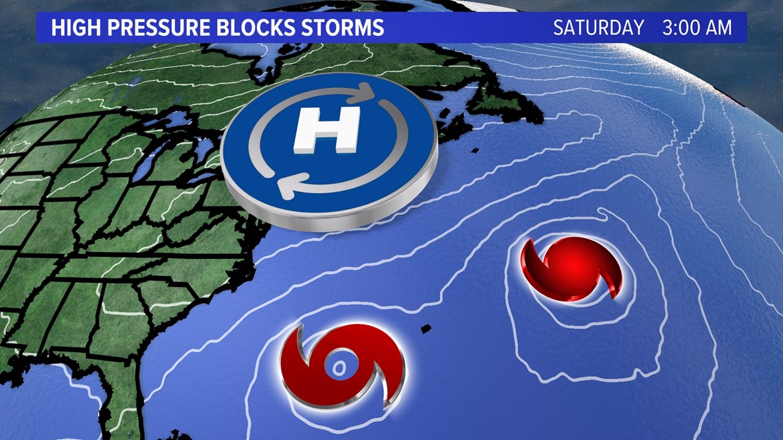
High pressure will block both Idalia and Franklin from moving near New England and create sunny and dry weather heading into Labor Day weekend.

Just be careful of dangers lurking in the water due to the rip currents.
"As folks plan to get out and enjoy the beautiful Labor Day holiday weekend, please remember to properly secure your paddlecraft and other dinghies/skiffs after use, wear a life jacket, remain vigilant of rip currents and breaking swells, and stay away from rocky outcrops along the shoreline exposed to ocean waves," the United States Coast Guard said in a news release Wednesday.


You can get the latest updates by following me on social media:

