MAINE, Maine — We lucked out last week, avoiding a nasty storm by about 100 miles. Much of Southern New England is still recovering from rain, wind and pounding surf.
Now it's our turn. Thankfully, this week's storm is much faster moving but it will still present numerous problems for us.
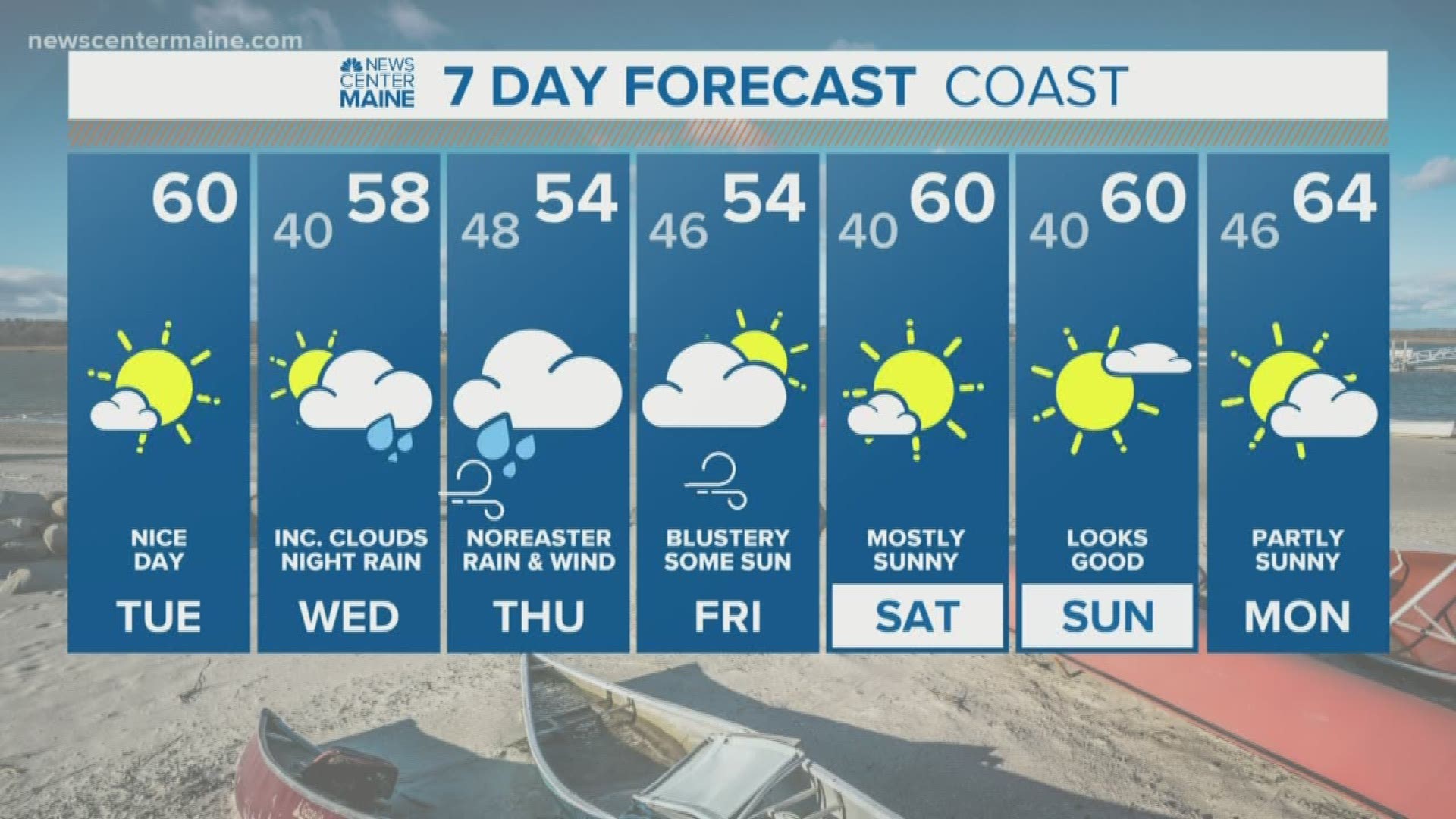
We have today and most of tomorrow to make storm preps but Wednesday evening goes downhill fast.


The storm will arrive in pieces but consolidate quickly to our south Wednesday evening. The rain will hold off for a while, but begin moving in late in the evening.


Heavy, pelting bands of rain will spread overnight and peak Thursday morning during the commute. Rain rates and leaf-clogged drains will make for tough driving conditions with some temporary street flooding possible.


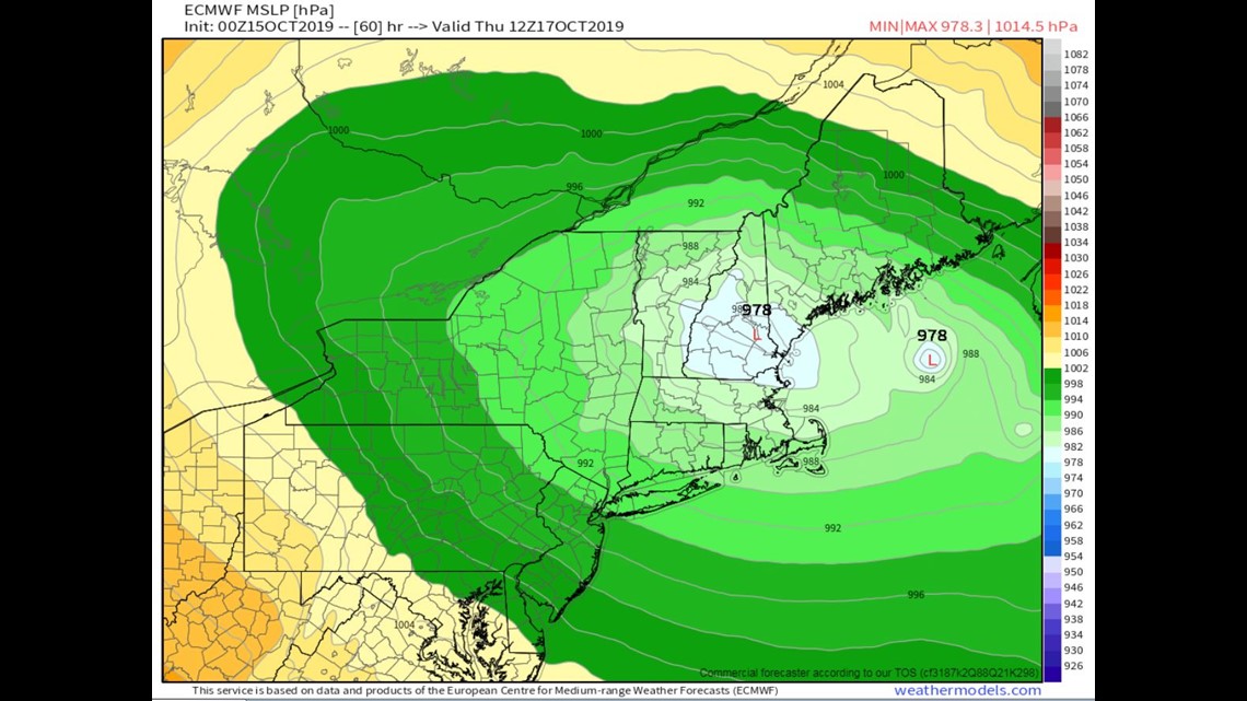
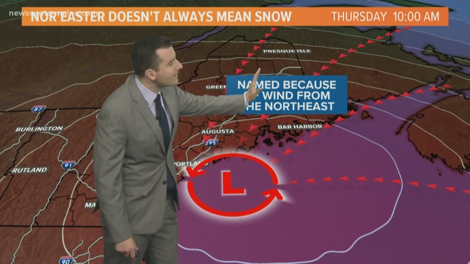
The heavy rain bands will shift north during the middle of the day as the surface low hugs the Maine coast. Total rain amounts may top 2 inches but rivers should be fine.


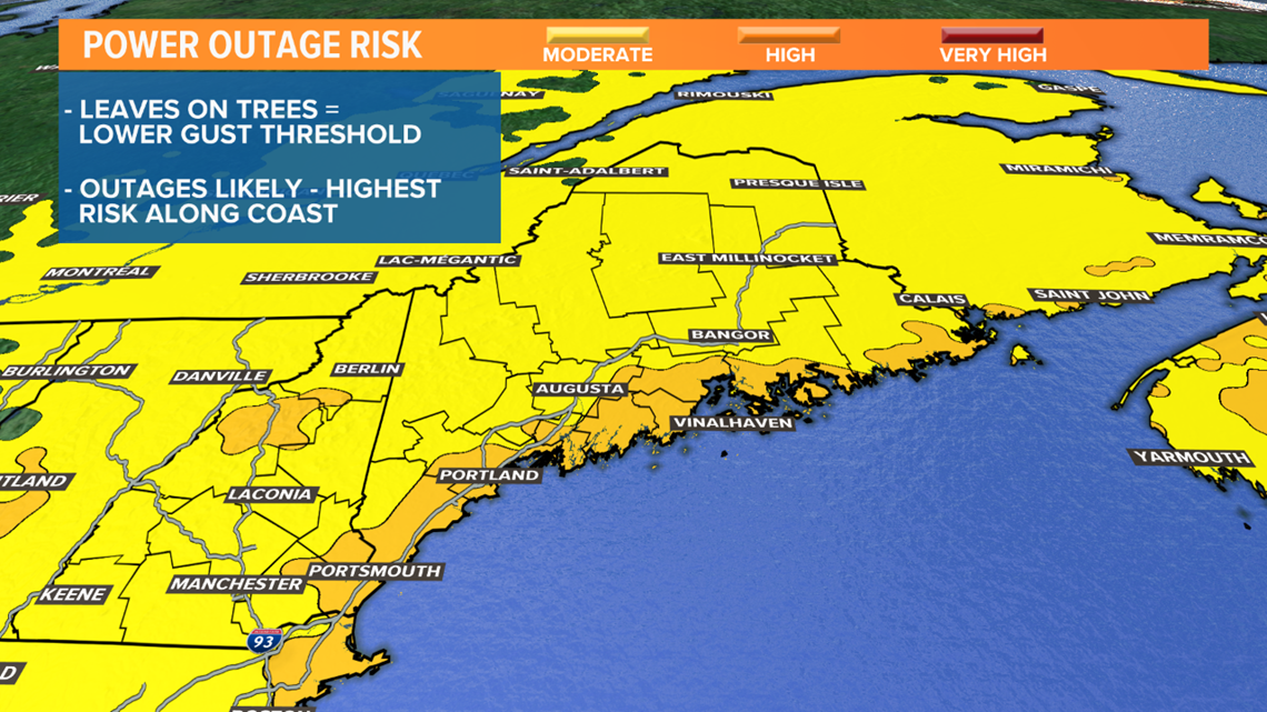
My biggest concern is the wind and power outage potential. This low will bottom out around 976mb...that's a powerful storm any time of the year let alone one in early Fall when leaves are still on the trees.


Normally, 50 mph gusts when trees are bare won't do a ton of damage to a healthy tree. But, leaves add weight and act as sails, lowering the threshold for a branch to break or a tree to topple over.


The way things are lining up right now, I'd prepare for outages. There's big gust potential, perhaps 50-60 mph. Certainly enough to cause some power outages. Hopefully, the numbers will be on the low end. Stay with the NEWSCENTER Maine weather team for updates.


