MAINE, USA —
You don't need to step outside the morning of Saturday, Feb. 4 to know it's going to be a brutally cold day here in Maine.
Some of the latest details coming in are staggering. Here are the highlights:
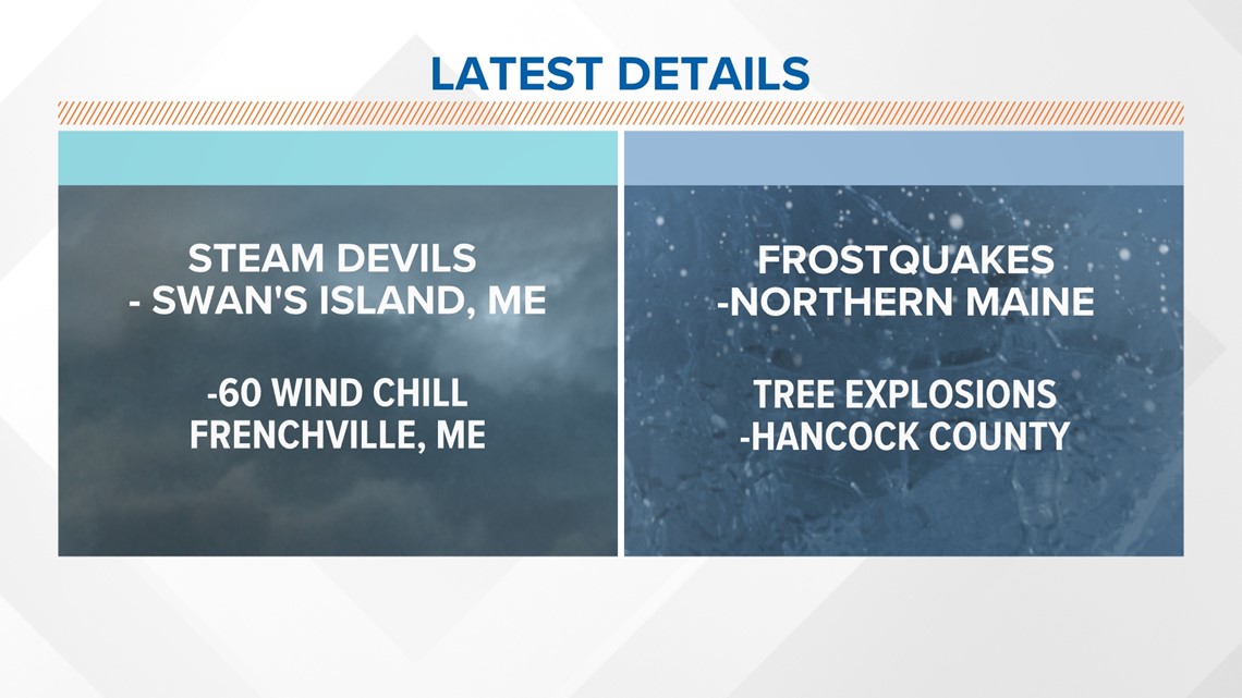
- "Steam devils," formed when arctic air below zero degrees passes over water temperatures about freezing, were confirmed at Swan's Island in Maine.
- A -60-degree wind chill was confirmed in Frenchville, Maine.
- Frostquakes, or Cryoseisms, were confirmed in northern Maine.
- Tree explosions were confirmed in Hancock County in Maine.
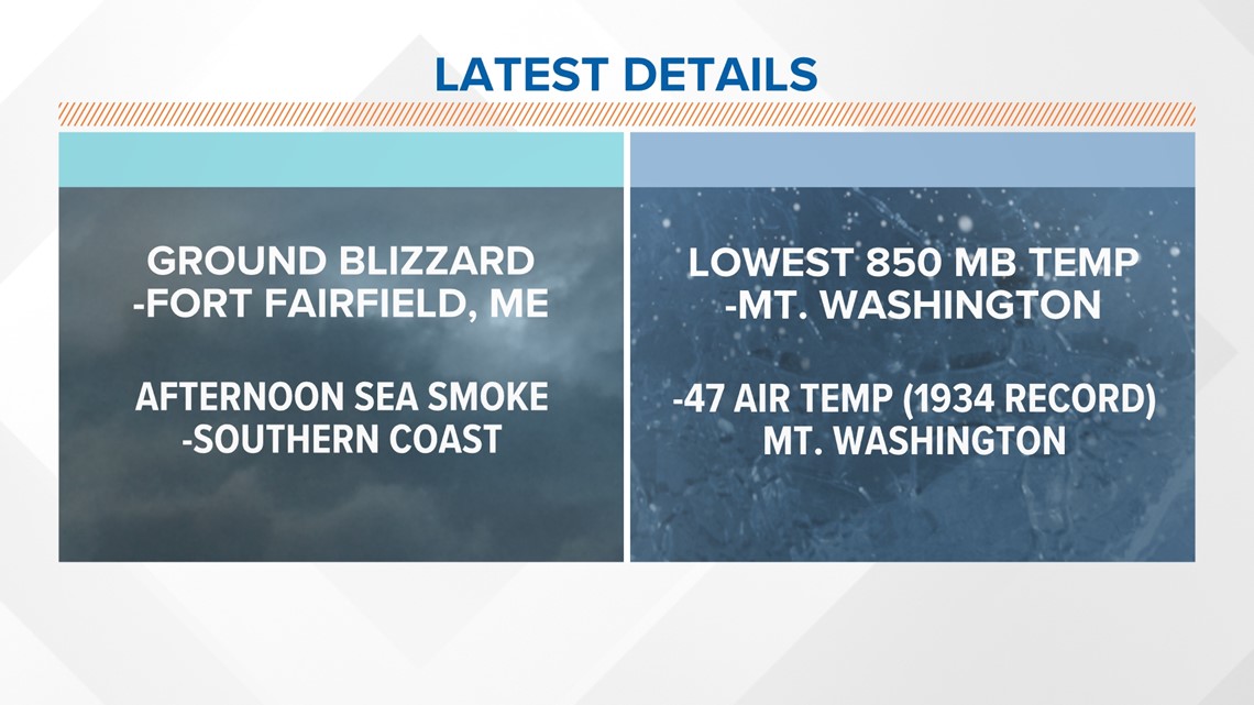
- A ground blizzard was confirmed in Fort Fairfield, Maine.
- Sea smoke was confirmed in Kennebunkport, Maine in the afternoon, despite strong winds and the time of day.
- The lowest 850 mb temperature in history was confirmed at Mt. Washington, N.H.
- A -47-degree air temperature at Mount Washington, New Hampshire tied a record from 1934.
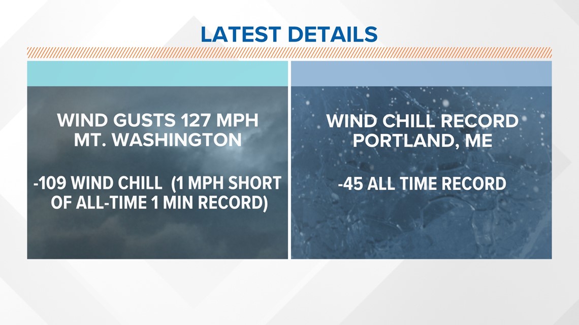
- Wind gusts of 127 mph and a -109-degree wind chill were confirmed at Mount Washington, New Hampshire. This was just 1 mph short of a one-minute all-time record chill.
- An all-time low wind chill of -45 degrees was confirmed in Portland, Maine.



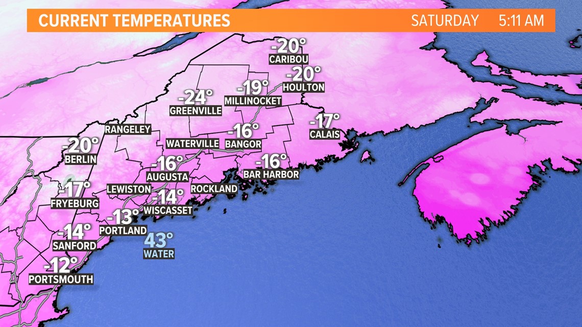
Take a look at how cold it was to start your Saturday morning:

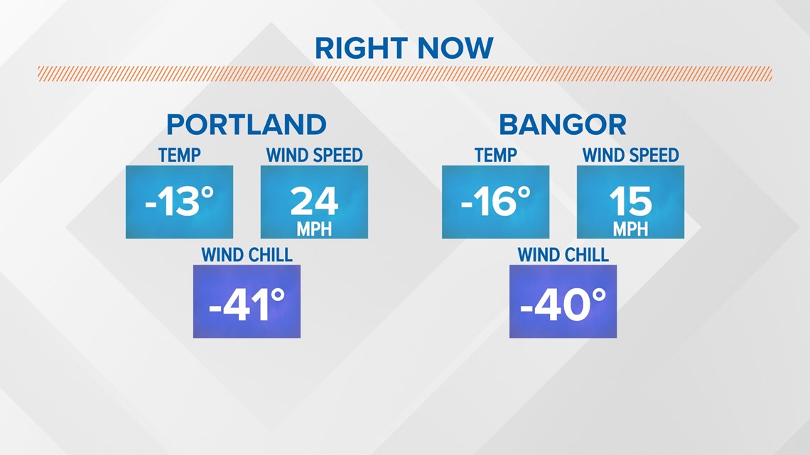
Statewide, temperatures are well below zero.

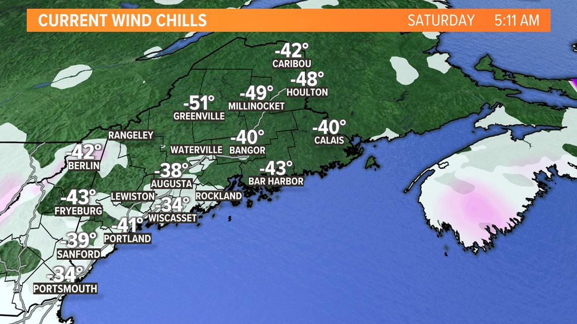
Wind chills were so cold, they broke the color palette on this map:

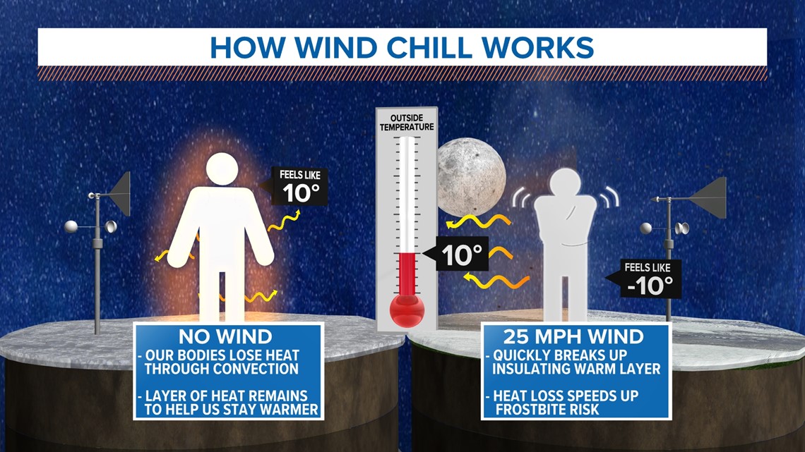
Today, it's still dangerous to be outside for more than 10 minutes through 7 p.m. That's because the wind removes the "shield" we normally have around our bodies from body heat.

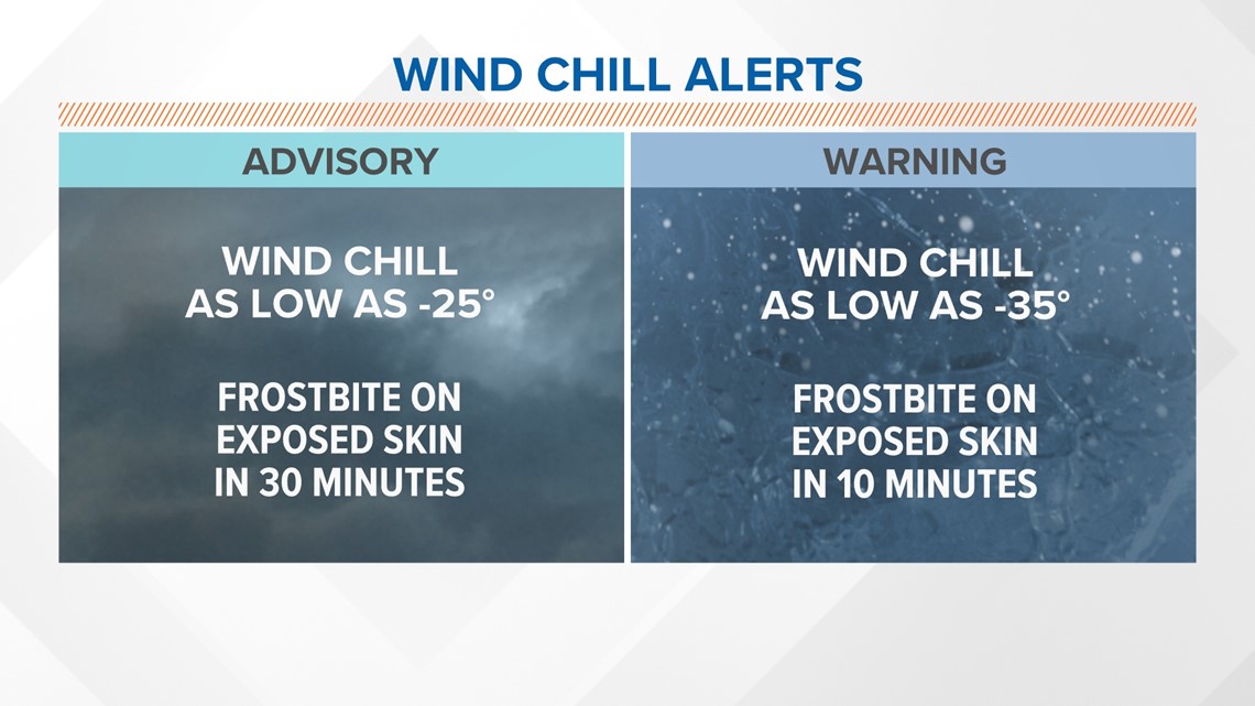

Wind chill warnings and blizzard warnings won't expire until Saturday evening.

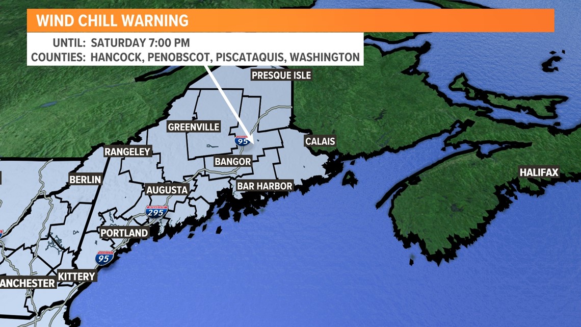

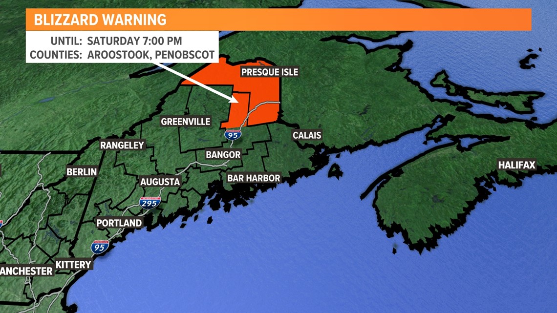
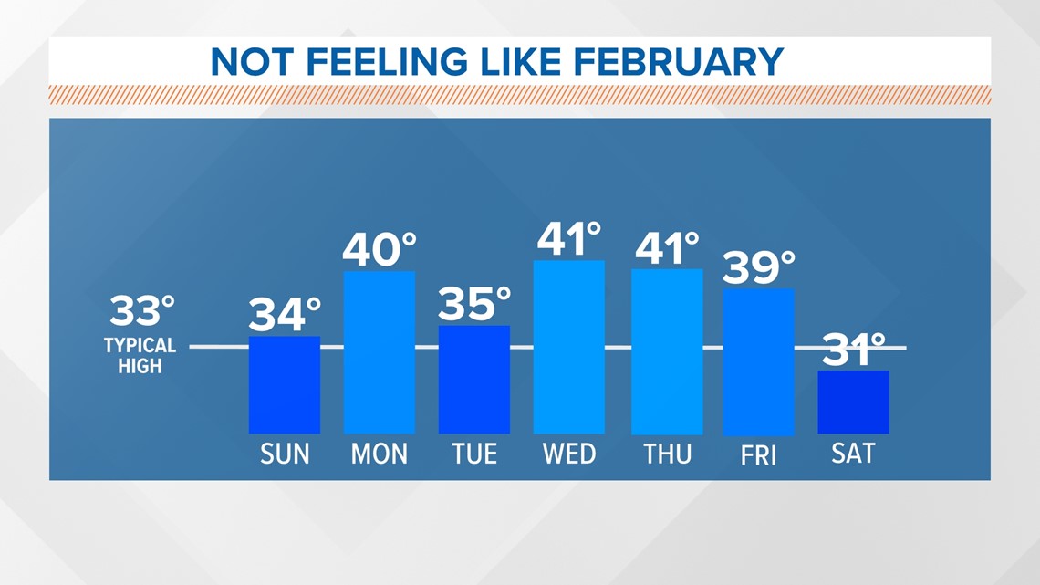
Starting Sunday, Feb. 5 through next week, we won't have to wait long until things warm back up. The warmer temperatures won't feel like February, but after this cold snap, that's not half-bad.

You can check out my social media for the latest weather details:
Jason's Facebook
Jason's Twitter

