MAINE, USA — For the last few days this storm has been showing lots of potential. But it doesn't appear like it will all gel together in time.
Low pressure will form in the Deep South, but remain weak and strung out as sit travels north into the Mid-Atlantic. Mid-level energy will phase with the storm and strengthen it, but not until it's a little too far off the coast. Thus, just minor accumulation is expected this time around.
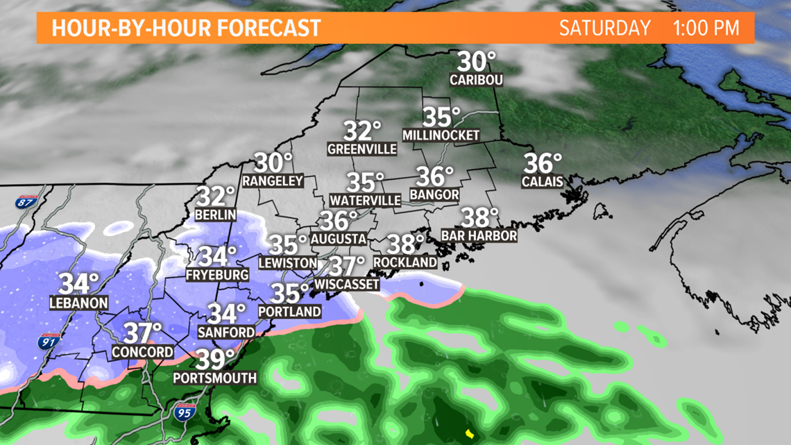
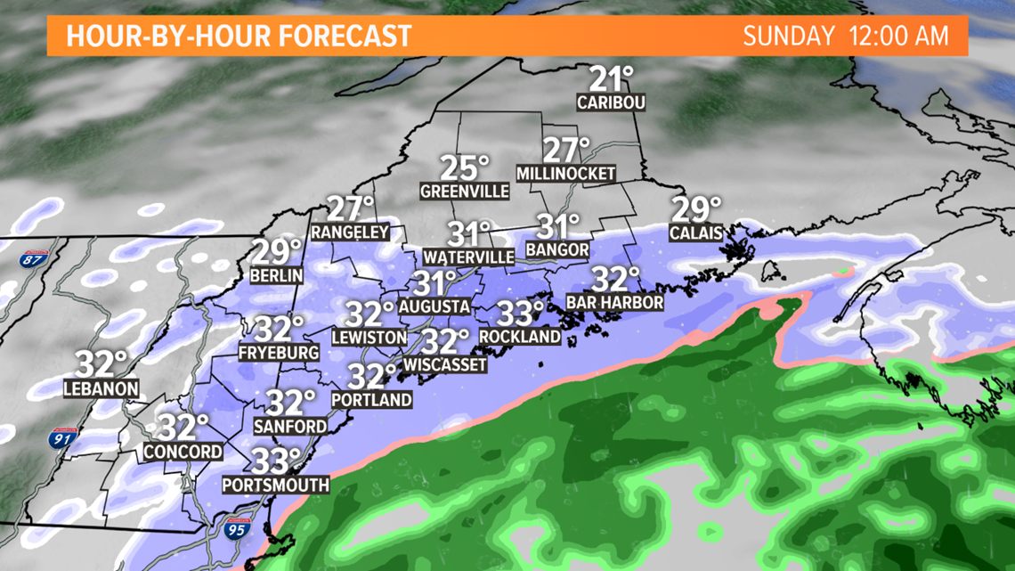
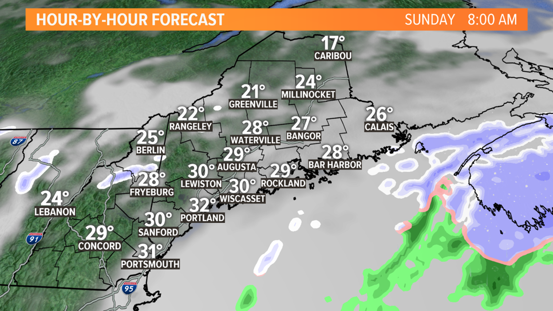
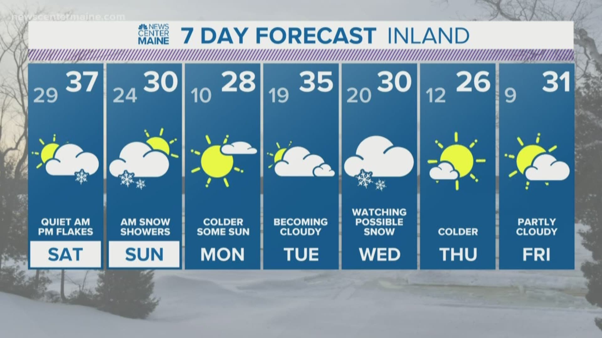
Light rain, mixed with wet snow will break out tomorrow during the middle of the day and early afternoon. No accumulation is expected, as surface temps will remain mild until the evening. After dark, the storm temps will drop enough to change any rain to snow. The snow will be fairly steady for a time overnight into Sunday morning. Roads will get slippery again and crews and plows will likely be needed. The snow will end quickly late morning as the storm swirls away south of the Canadian Maritimes.
Here's the weekend timeline:


-Todd

