

MAINE, USA — In general, I'm not a fan of 3-6" and 4-8" storms. They are the avocado toast of winter events: basic and played out.
But in a winter that has failed to deliver many "real storms," I suppose things will look shockingly wintry on Friday morning.
At its core, this system is what I'd consider a flat, relatively progressive low, meaning it's not going to swing into the Gulf of Maine and turn into a monster (BOMB CYCLONE!!! - jk I hate that term).

But what the system lacks in complexity it makes up for in placement. The low is well placed to our south to give us a good amount of cold air and put Maine in the baroclinic precipitation zone. (Google that if you have time to learn weenie phrases and potentially never want to go on another date in your life).
The daylight hours on Thursday will be fine. It won't be until Thursday after sunset that the precipitation arrives.

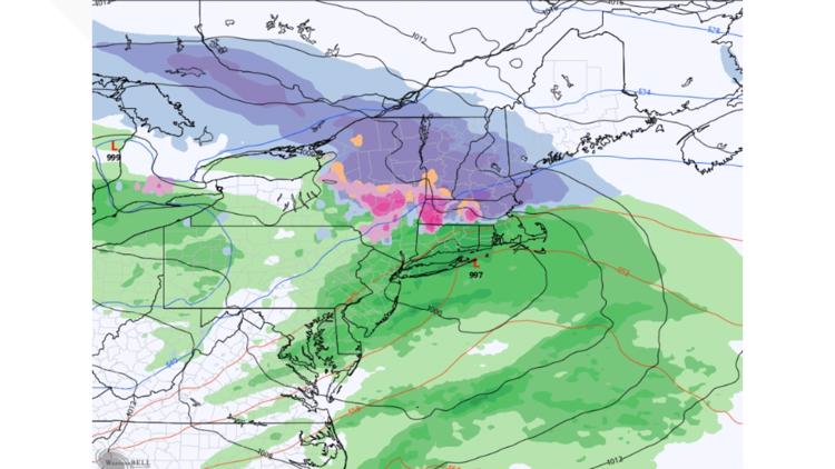
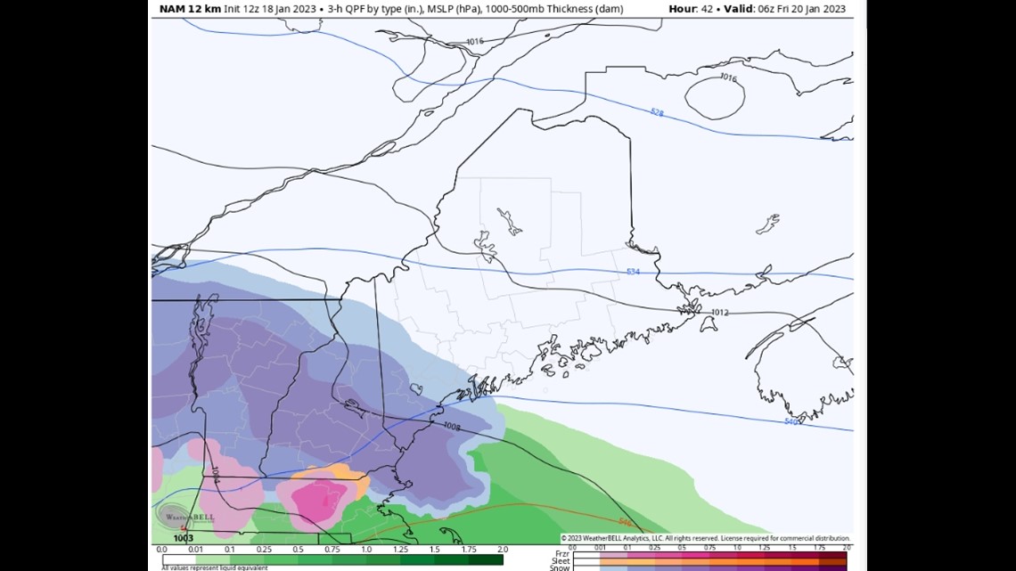
Most models actually have things starting after 8 p.m. even in southern Maine, as you can see above.
The issue, initially along the coastline at least, is that there will be some leftover warm air from what will have been a relatively mild Thursday afternoon (grammar police have fun with that sentence).

Notice Portland and parts of York County are 34-36 degrees? Sure, it CAN snow at that temperature, but you're going to have a hard time accumulating efficiently. I took this into account in my snowfall map and basically tossed all the computer model "snow amounts" through midnight, assuming it will be way harder to accumulate than models believe right now.
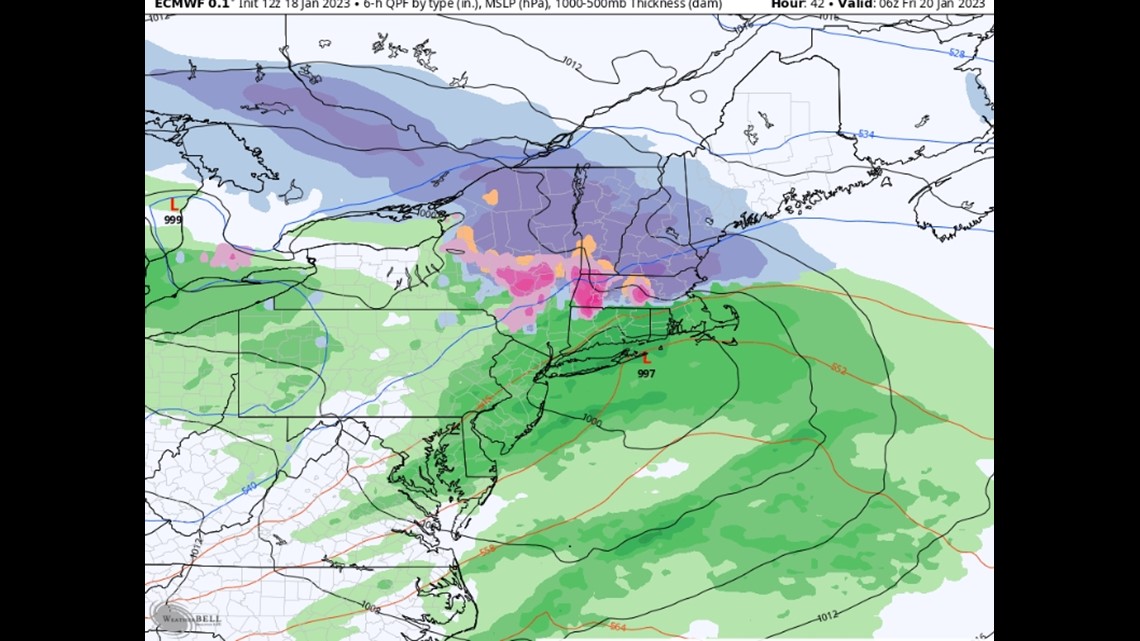
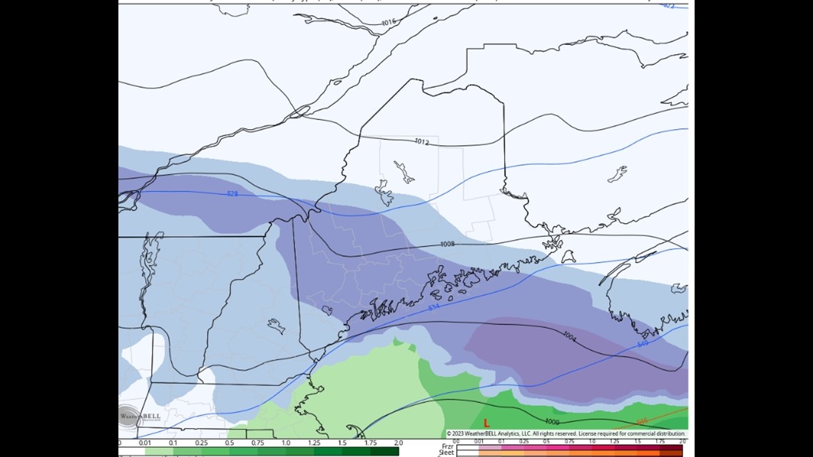
The real "meat" of this system will happen between midnight and 7 a.m. Friday for most of southern Maine.

The above image is for 1 a.m. on Friday. It's ripping in southern Maine and into New Hampshire.

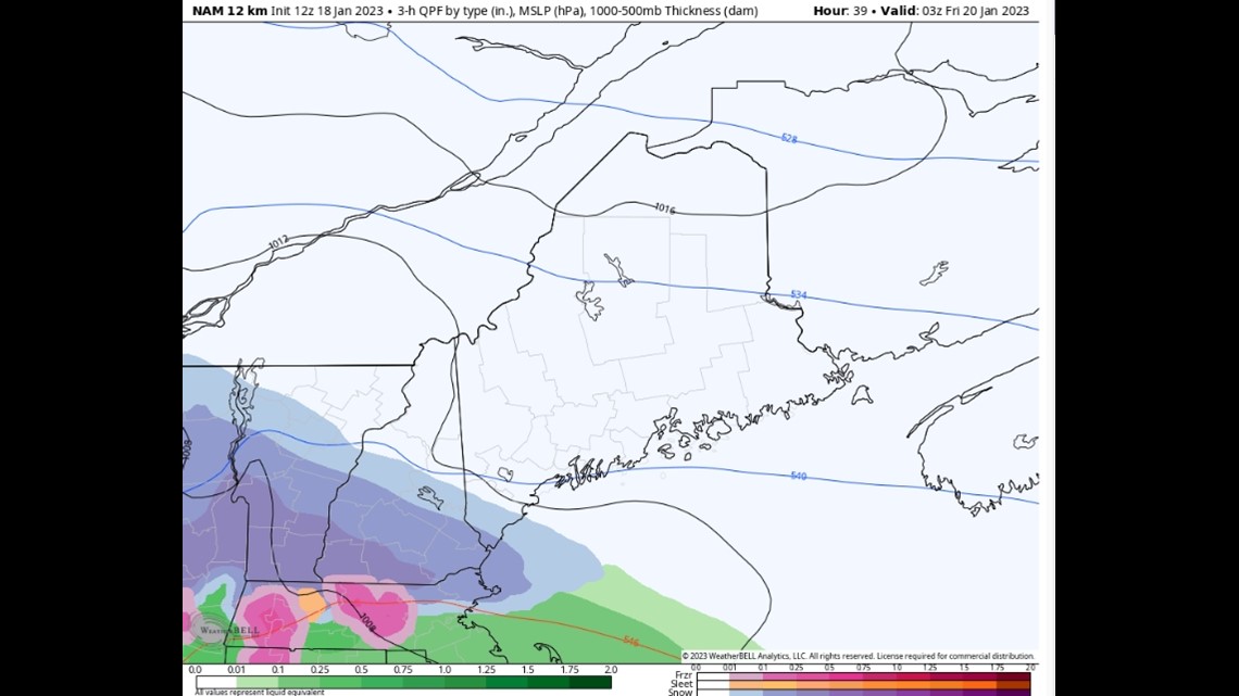
By 7 a.m., more of the state is into the snow, and it will be coming down pretty good in the Midcoast.
Snow continues off and on throughout the day, but only Downeast will do much accumulating after the mid-morning hours.

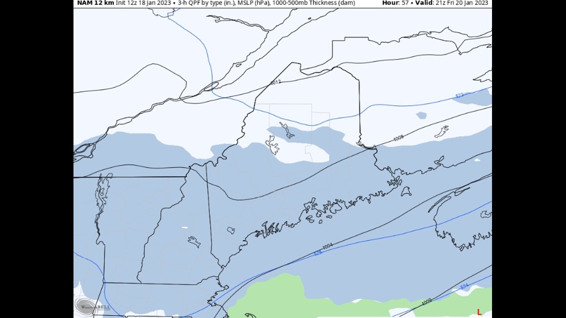
That's 4 p.m. Friday in the image above. Yawn central.
So, all told, here's what I've got. (Those who scrolled past all my hard work and explanations just to see this map - shame on you. I bet you share articles via email and say "I didn't read the whole article but...")

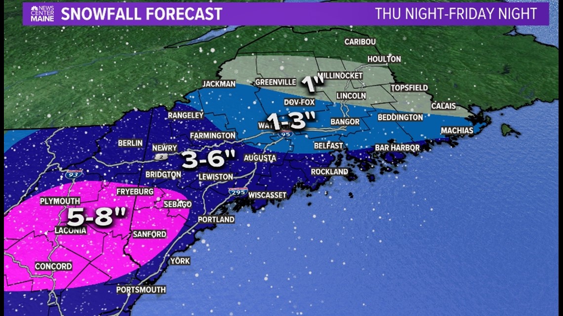
Note one change from yesterday: I pulled the 3-6" line into Downeast Maine. I think they will get enough backlash snow to get those kind of totals done.
This storm not thrilling enough for ya? Wait until you see the next week or so.
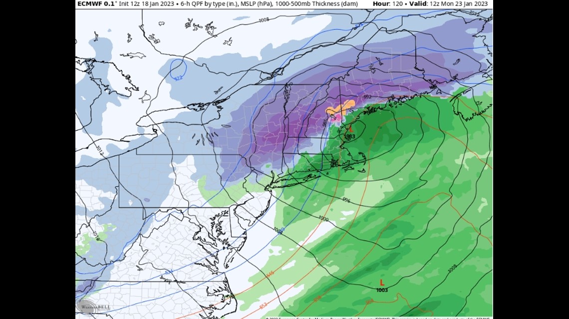
BAM! MONDAY-

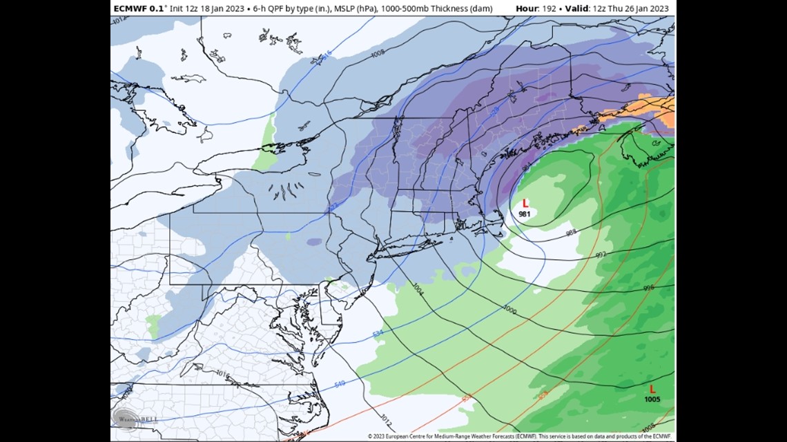
POW! POW! THURSDAY-

Looks like we might be in for an ole fashion winter blitz in the next 7 days.
Buckle up kiddos.
Carson out.
