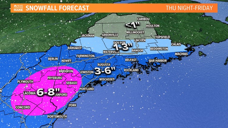
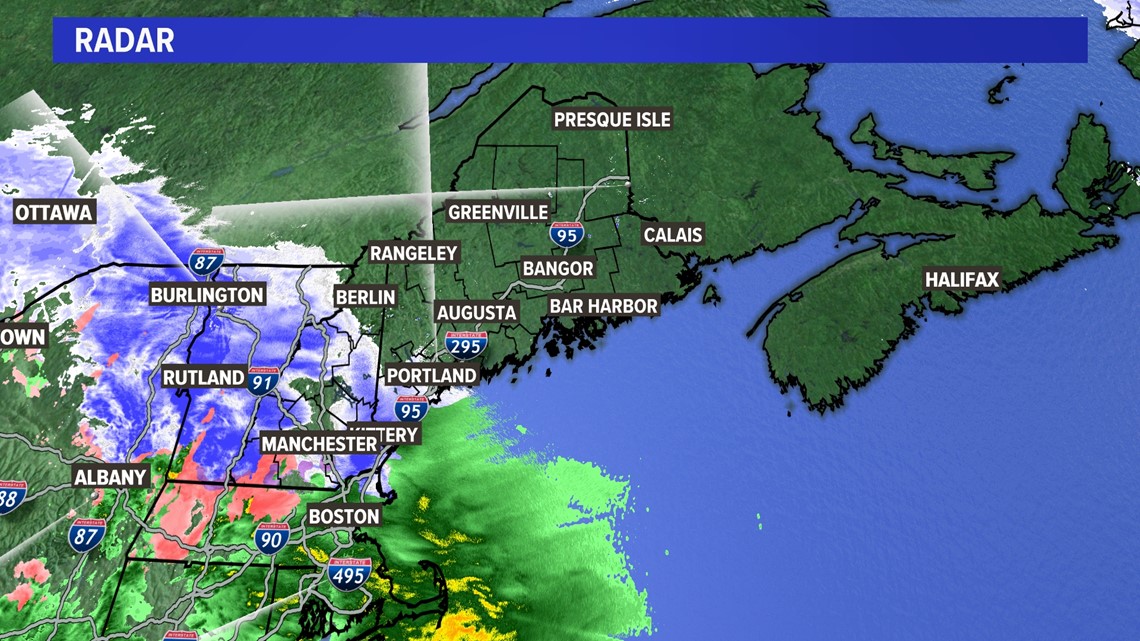
PORTLAND, Maine — Everything is still on track for tonight's storm. Radar indicates precipitation moving into southern New Hampshire and into Maine.

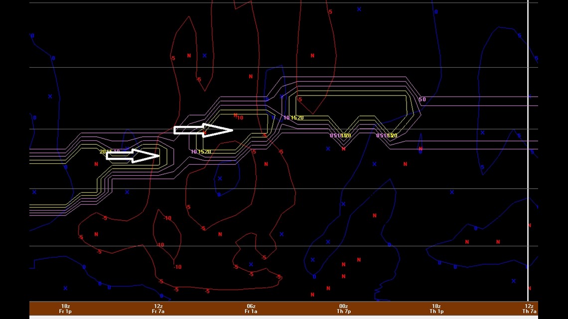
Things really get going later tonight, generally between 9 p.m. and midnight. The overrunning lift will provide some good snow growth, flake size, and intensity during the overnight hours with snow rates approaching an inch per hour.

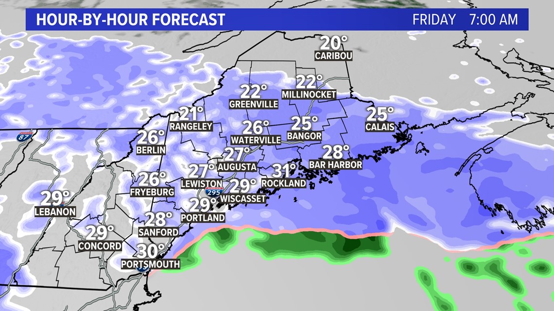
Decent snow intensity will continue through the entire Friday morning commute.

The low will begin to slide away during the afternoon.

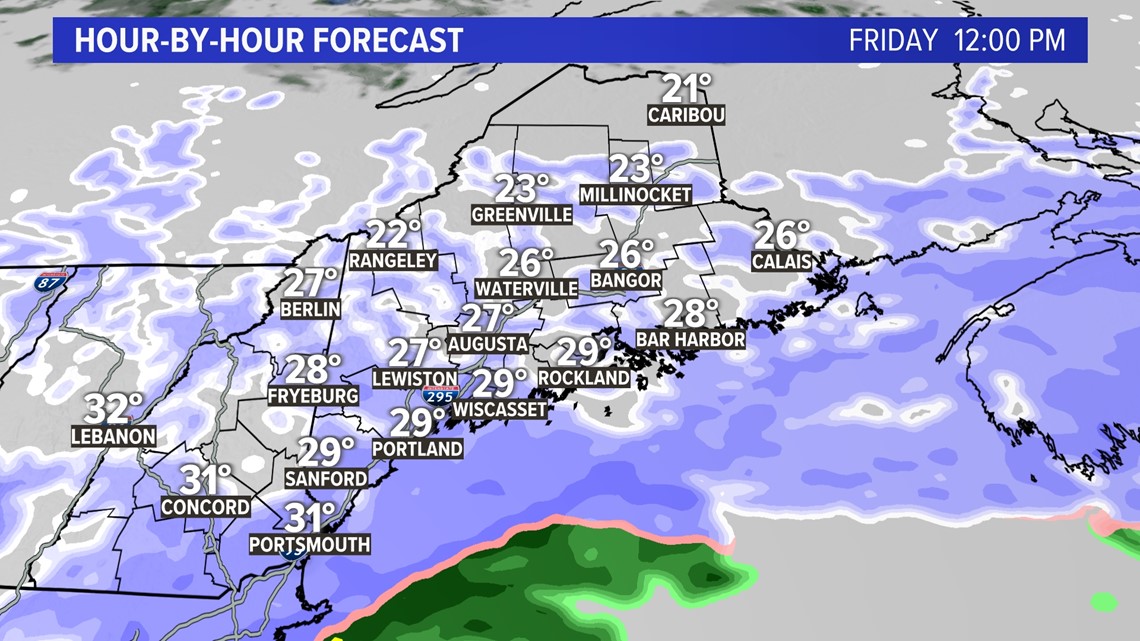
While snow will hang around deep into the afternoon, the lift will weaken and the snow will be much lighter and taper to snow showers by evening. I think most of the snow will get done before noon for the vast majority of the state.

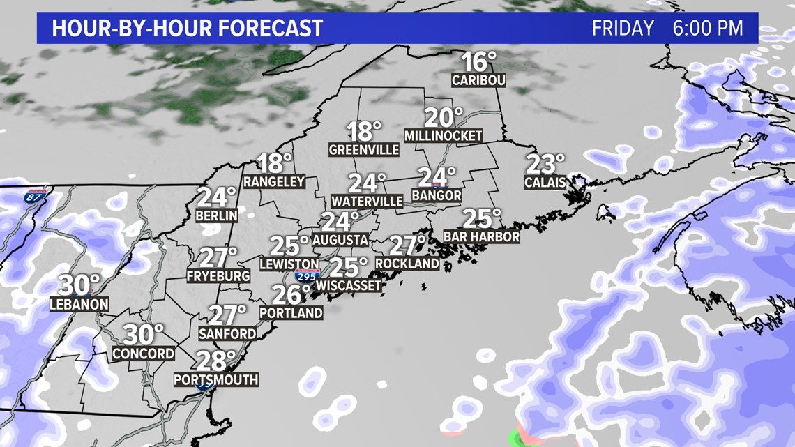
It's looking like a nice winter weekend. But as you've probably heard: We've got two more storms on deck.
One on Sunday night into Monday. The next on Wednesday night into Thursday.
I wish we could give details on those storms but there have been very wild swings in the computer model guidance even within the past 12 hours. So it would be irresponsible to throw out a map. (Ok, more irresponsible than normal)
Todd and Keith (Dream Team baby!)


