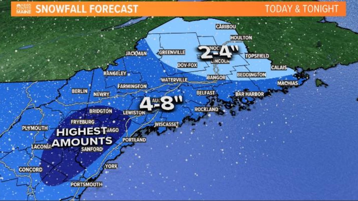
PORTLAND, Maine — Snow continues across the vast majority of the state with moderate bursts embedded in otherwise light snowfall rates. The snow has had a harder time sticking along the immediate coastline during the day because of warmer boundary layer temperatures. Luckily, this was part of the plan.
As the sun sets, I expect more accumulation to gather along the immediate coastline as we drop a few more degrees. Inland the snow keeps piling up, with some snowfall reports already in the 4-5" range.

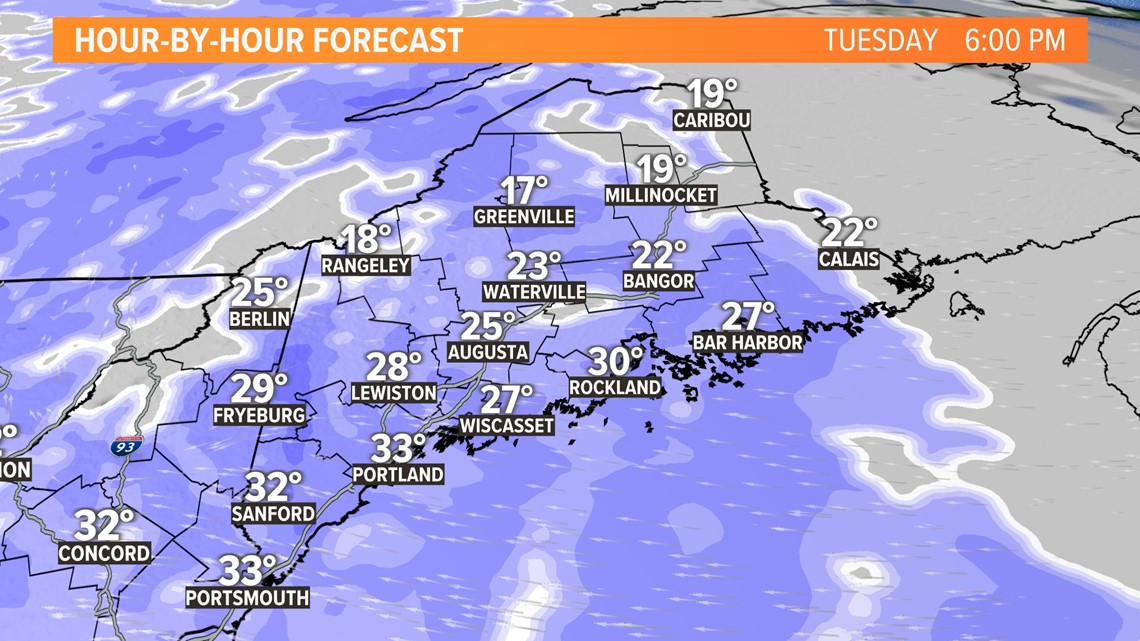
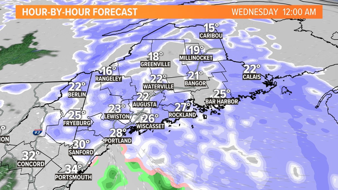
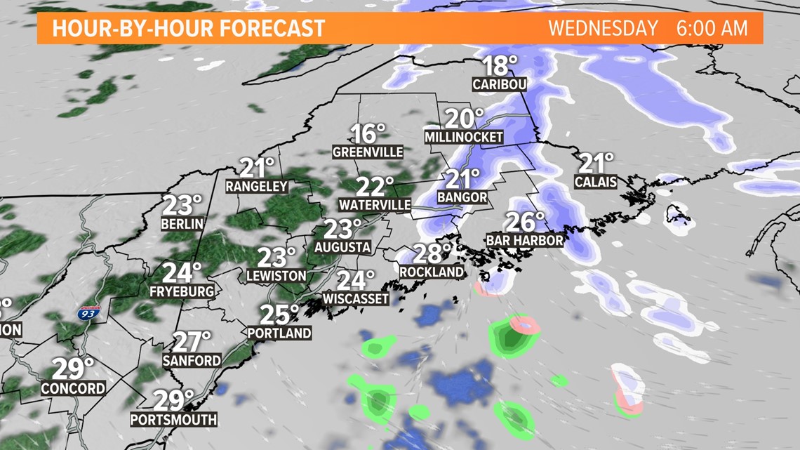
The upper-level trough will swing through later in the evening and snow will taper off Tuesday night.



Looking ahead, we have light wintry mix Thursday. That looks like a general 1-3" of snow with some rain mixing along the coastline.
The bigger game, however, is Friday night and through the day Saturday.
That's a legit nor'easter as it approaches from the southwest. I think we are in for significant snow, especially in the southern half of Maine. However, we're going to have to watch the low-level temperatures along the immediate coastline. They might act to reduce totals there.
I might be able to take a shot at a map later today or tomorrow at the latest.
Carson

