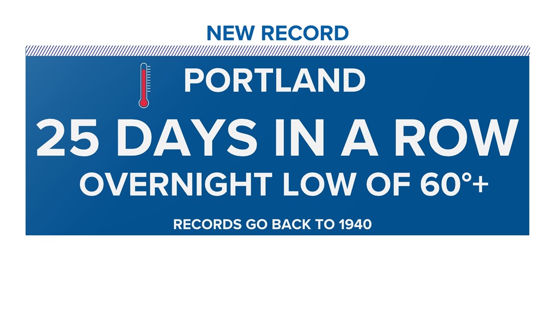
MAINE, USA — Talk about uncomfortable sleeping weather … We begin the last few days of July breaking a record set back in 1988. For 25 consecutive days, the low temperature in the Portland area has been 60 degrees or more. That’s the first time that has happened since record-keeping began in 1940.

The sweltering heat is currently baking the Midwest and Southwest USA.

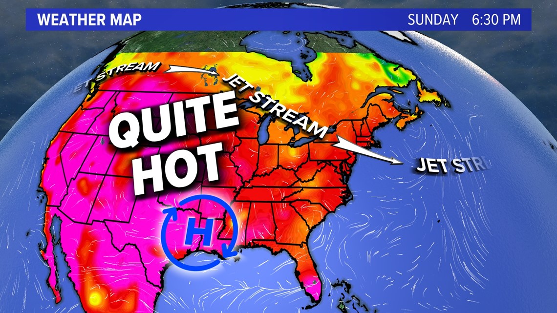
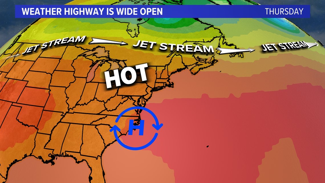
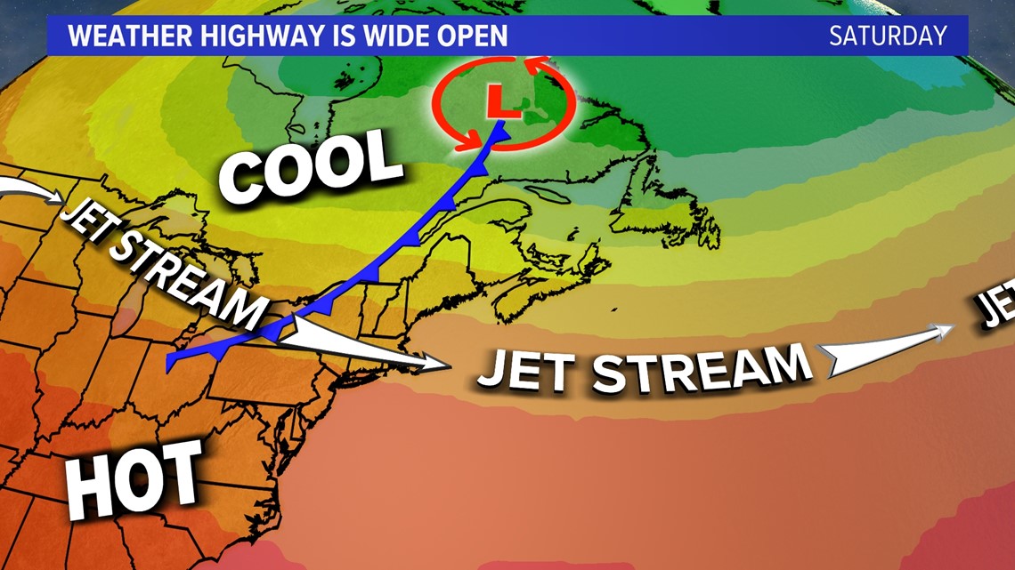
Some of that heat is going to head this way as a ridge of high pressure slides east on the weather highway (jet-stream).

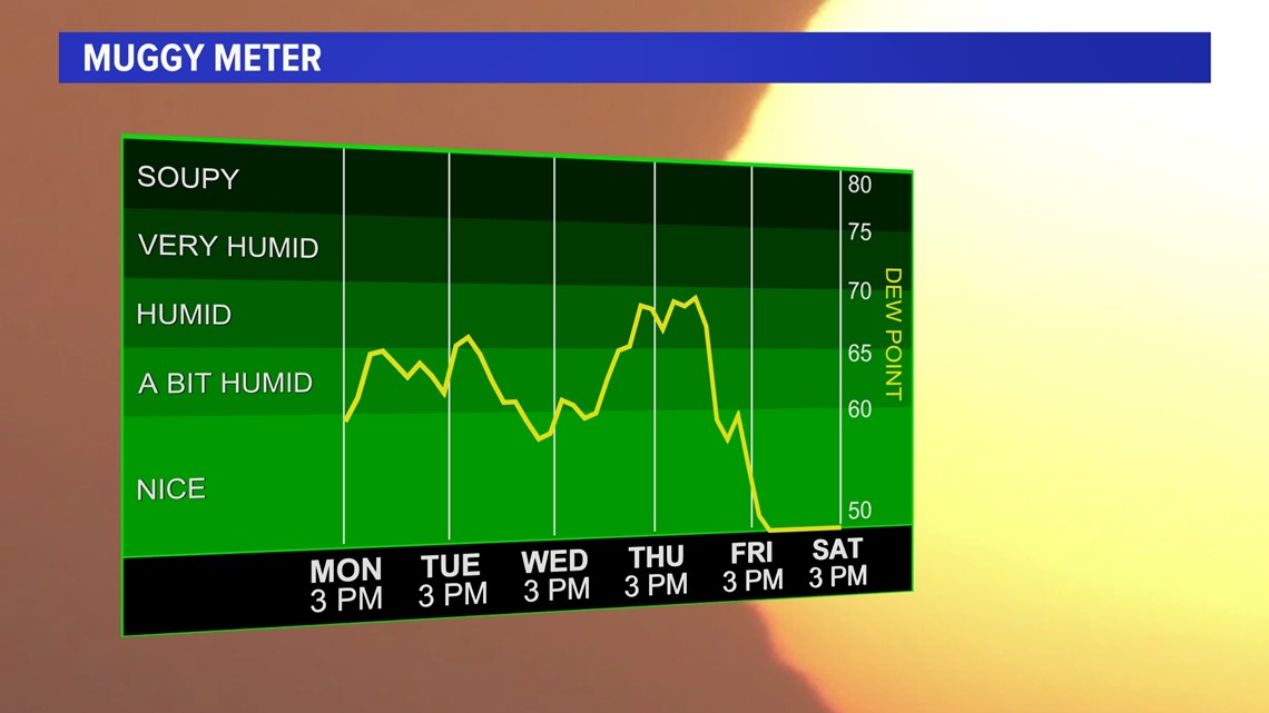
A quick glance at the muggy meter shows rising dewpoints well into the upper 60s and 70s. The dewpoint is the measure of moisture in the atmosphere. By the time the weekend gets here, a cold front will drop the humidity lower than it's been for several weeks. I'd say a taste of fall is coming.

But first we have to add the dewpoint to the rising temps well into the upper 80s and 90s by Thursday and Friday when the ridge moves to our south.

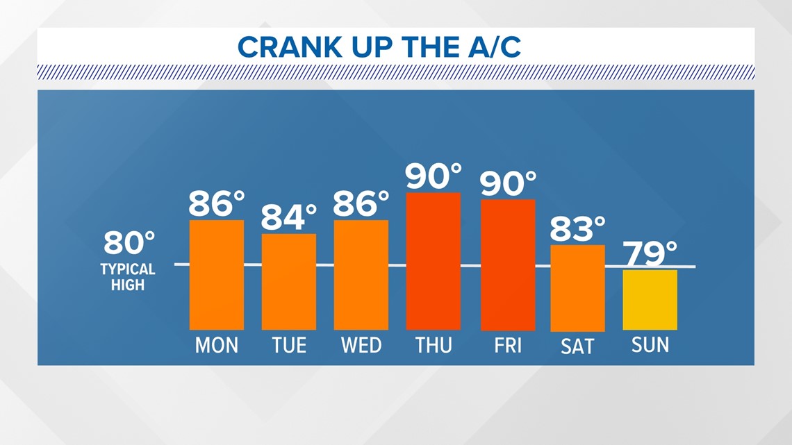
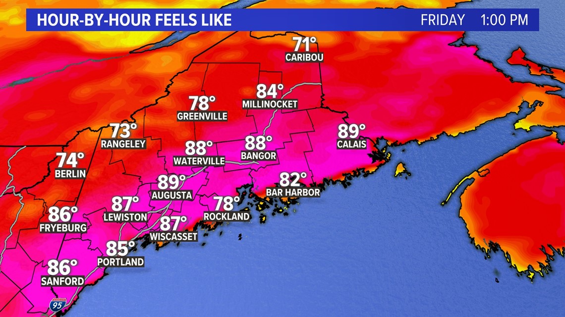
This will give us feels-like temps well into the 90s statewide by Thursday and Friday. Make sure to check on pets and neighbors during the unofficial mini heat wave. (To have an official heat wave we need 3 days of 90+)

There is some relief in sight for the long-range outlook if you aren’t a fan of the hot temps. A cold front will move along the weather highway for the upcoming weekend and cool us down significantly.

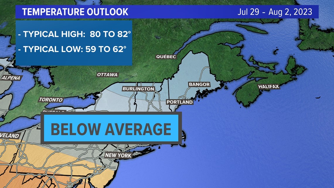
I’d go as far as saying there will be a small taste of fall-like air if you are out and about at the cooler times of the day. The outlook for the beginning of August has below average temps statewide.

The forecast will need to be fine-tuned so keep checking back for updates.
You can get the latest updates by following me on social media:


