MAINE, USA — It’s another day of wildfire smoke from western Canada increasingly moving into Maine. We are forecast to be in code yellow statewide for particle pollution by late Wednesday.


The latest computer model forecast shows the smoke moving in from the west and covering all of Maine by Thursday.


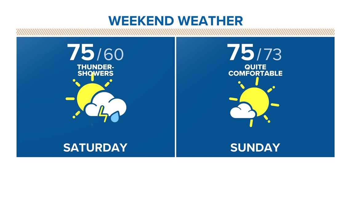
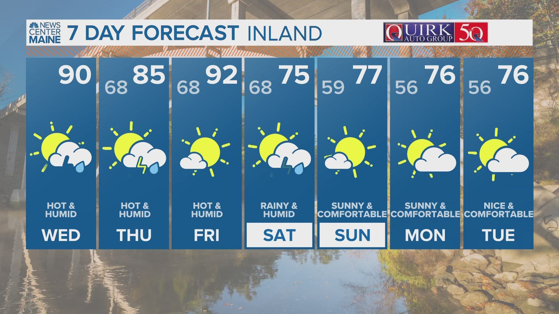
The smoke is expected to move out by the weekend with a strong cold front entering from the north. Look for a showery and muggy Saturday, except in northern Maine where the dry air will begin moving in.


The muggy meter is about to look like it hasn’t for months, with comfortable and refreshing air in the forecast.


The dry and comfortable air moves from north to south through Maine Saturday into Sunday. Dewpoints and temps will drop to fall-like levels.


Here’s a breakdown of the dewpoint drop in temps. Remember that dewpoint temperature is the measure of moisture in the air.


Enjoy!
-Jason
You can get the latest updates by following me on social media:

