MAINE, USA — When we think of thunderstorms, it harkens us back to hot, humid afternoons in the summer. So how did we end up with several rounds of thunder tonight in late December?
Well, the underlying key to both summer and winter thunder events is the same: Instability.
In the summer this instability is created by heating the surface and lower levels of air, causing it to rise rapidly. As it does so it cools and condenses into a cloud which builds higher based on how unstable it is. Most thunderstorms top 30,000 feet. At that point, the top part of the cloud becomes so cold that it is filled with ice crystals and supercooled water droplets. The motion and friction of these crystals cause them to become electrically charged in one direction or the other. Then that charge is "discharged" by meeting the opposite charge coming from the ground (or another cloud).

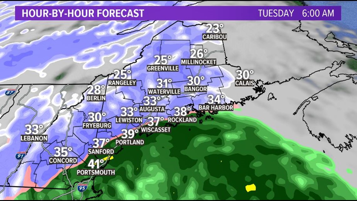
In the winter instability is more often created by synoptic lift or rapid pressure falls within a storm. The storm clouds in a winter storm are not NEARLY has high typically as a summer thunderstorm. Instead, the forcing causes bumps in the low levels which creates turbulence with mid-level cloud deck. This turbulence causes the ice crystals in the clouds to become unbalanced and BOOM. Back where we started. With Jim Cantore losing his mind.

