Let me just start by saying I can basically write the comments for this article before it even gets posted:
"Oh so you mean 25" not 3" right?""Based on the last storm, we should all prepared for a foot"
Blah, blah, blah.
I owned up to the fact we under-forecasted in a few spots with the previous storm in my last blog (good luck finding other METS who do that), but we were STILL closest and I strongly believe we have the best weather team in the state. So let's roll.
Tonight's Storm Does NOT Have the Dynamics of Last Week
The storm this evening is more of an enhanced frontal boundary than it is a big, whopping coastal low. As such it doesn't have the lift, the dynamics and the strength of Thursday evening's tree blaster. That makes it a bit easier to forecast, but it doesn't mean the forecast is gonna be pretty.
But there will be some ice
The coastline is already above freezing and will stay that way through most of the event, once again it's the interior that gets the worst of it.
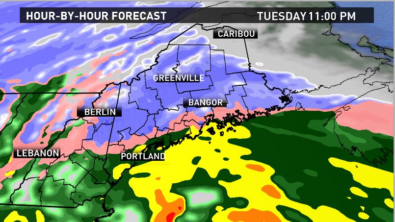
By 11 PM tonight you can see an area of sleet and freezing rain depicted by the pink shade. That's my area of concern. Cold air at the surface will try to fight off the warmer air aloft. That will produce a coating of freezing rain during the evening hours just west of 95. The good news is the airmass signature looks a bit more like SLEET to me than freezing rain. Still, this is what the meso models are pumping out for freezing rain accretion:
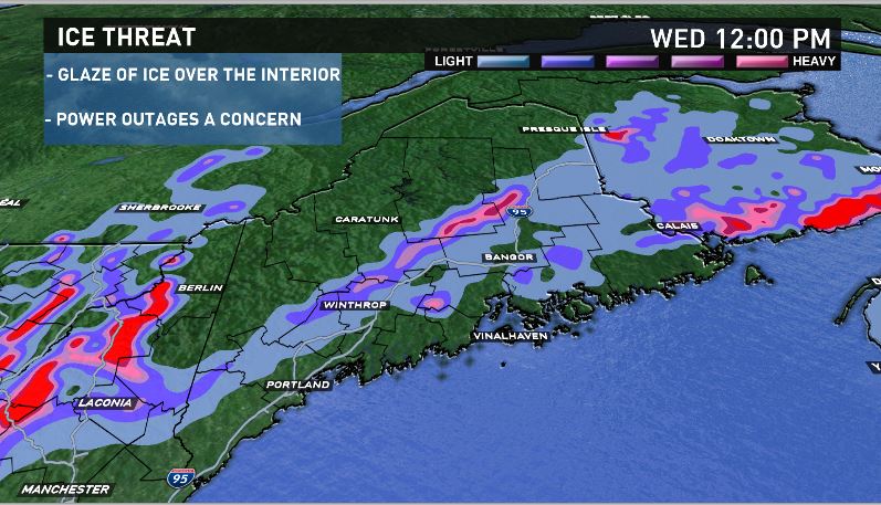
Not crippling but definitely worth noting for driving purposes.
The storm will produce some solid snowfall in the mountains in the meantime, they may flirt with sleet, but much of this will be a heavy, wet snow.
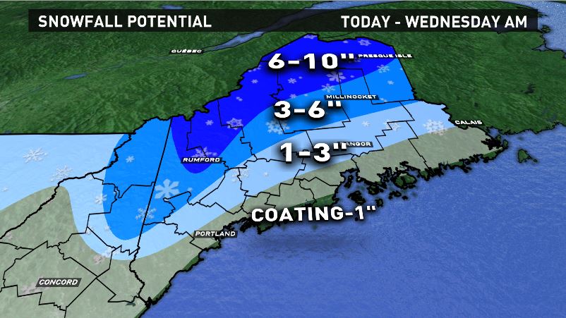
Compared to Todds map I did drag the snowfall lines south a tiny bit. I hadn't been looking at the storm all weekend so I came in fresh and just felt we were a TAD too warm with some of the interior towns.
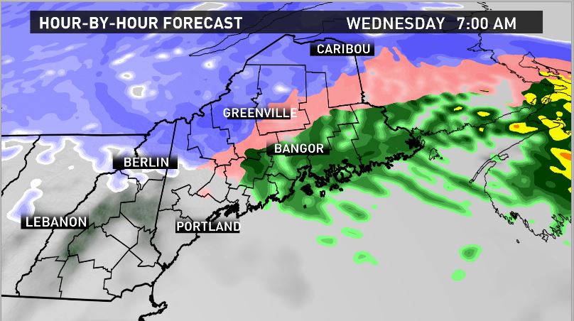
This thing wraps up by tomorrow morning, with northern Maine the last to wave goodbye.
After this storm moves out it's a few VERY close calls with coastal storms. Right now my feeling is they will just miss, but it's tight enough that we need to keep an eye on it.
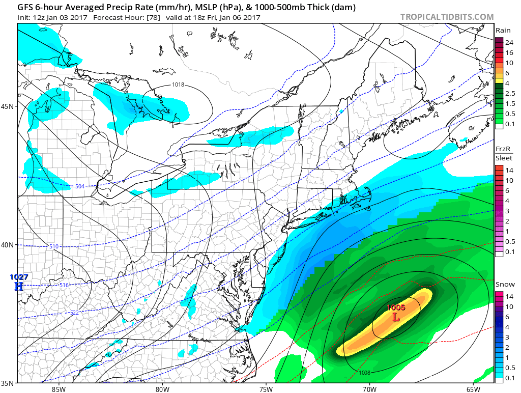
(See...that's close)
Carson Out.

