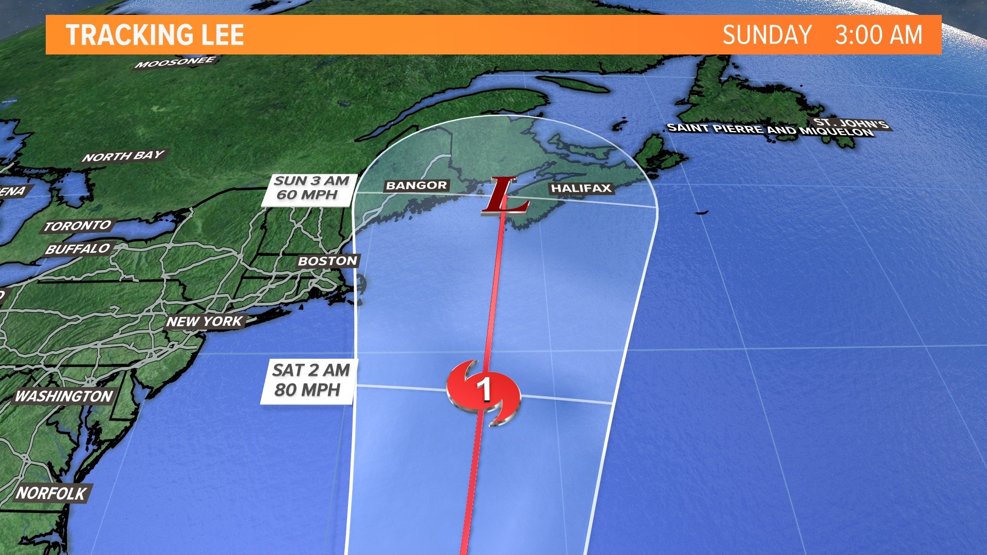
PORTLAND, Maine — We are nearing the peak part of our hurricane season and we have a serious threat brewing from Hurricane Lee. After weakening over the weekend, Lee has once again achieved major hurricane status and currently has sustained winds of 115 miles per hour with higher gusts, making it a category 3. Lee is less than 600 miles from Bermuda but it's moving north at just 7 miles per hour. The National Hurricane Center maintains Lee's strength before weakening it later this week in a position south and east of Cape Cod and the rest of New England sometime early Saturday morning.

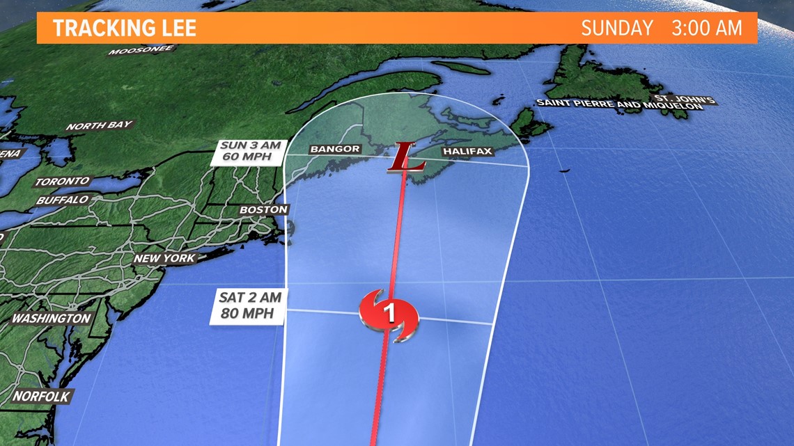
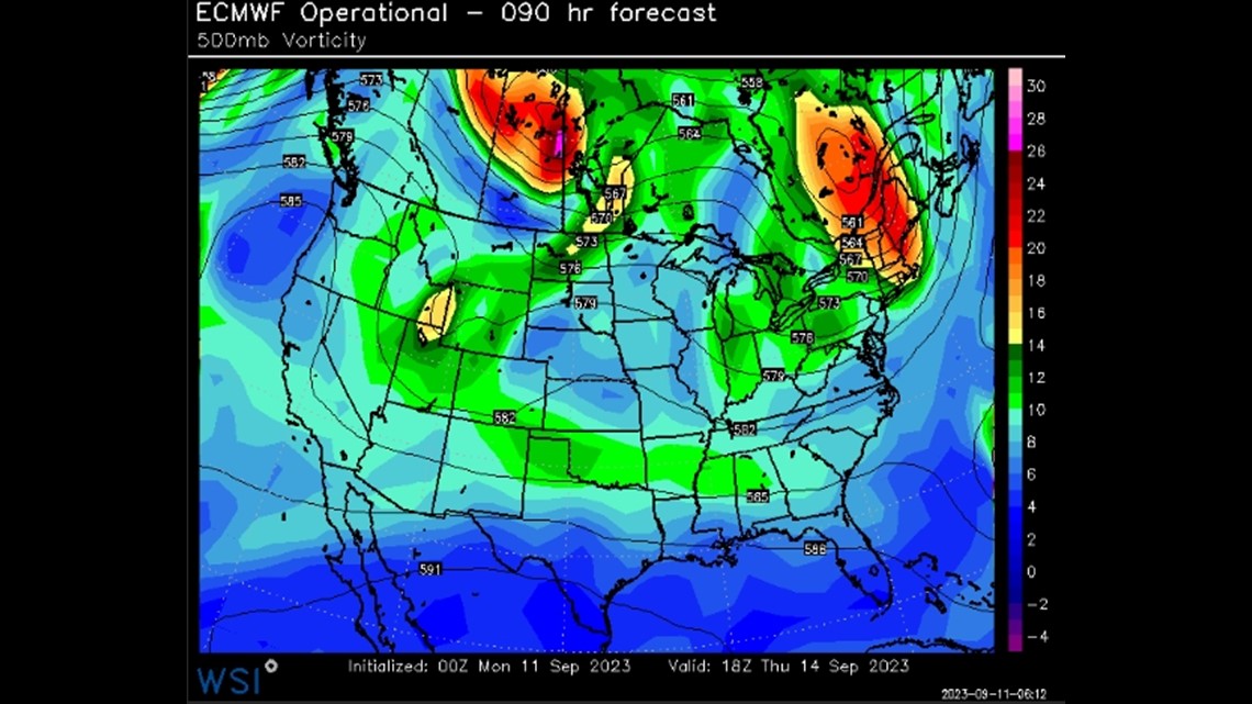
Unfortunately, an inbound trough doesn't appear sharp enough to deflect the hurricane out to sea. This keeps Lee on a poleward trajectory and a New England and Maine impact on the table for the weekend. In fact, the Hurricane Center brings a weakening Lee into Yarmouth, Nova Scotia Saturday night.

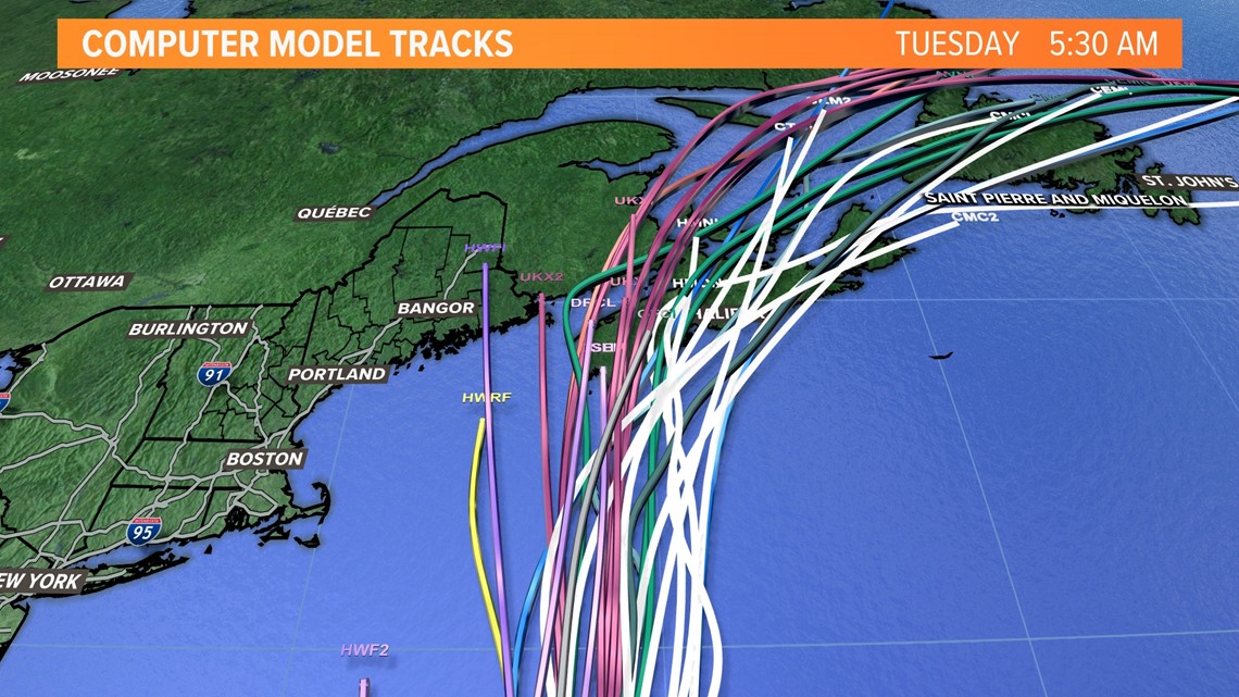
The majority of model guidance still keeps Lee to our east, but it's close, real close. While a direct hit can't be ruled out just yet, it remains an outlier.

The most destructive side of a tropical system is the right side. That's where the surge and strongest winds are. So, Maritime Canada likely takes the brunt of Lee. That doesn't mean we are out of the woods, however. As the storm moves north, the wind and precipitation shield will expand and spread west, possibly putting Maine into it. What type of impact that means for us is still too early to say, but a Nor'easter equivalent with windswept rain is on the table.
When tropical systems move north into our latitudes, they usually accelerate. But, due to the lack of steering currents, Lee will remain a very slow mover. This will work in our favor (Canada's too). This will keep the storm over colder waters much longer, weakening it to a category 1 or even a tropical storm. Lee would be a shell of its current category 3 self by the time it were to reach us or Nova Scotia.

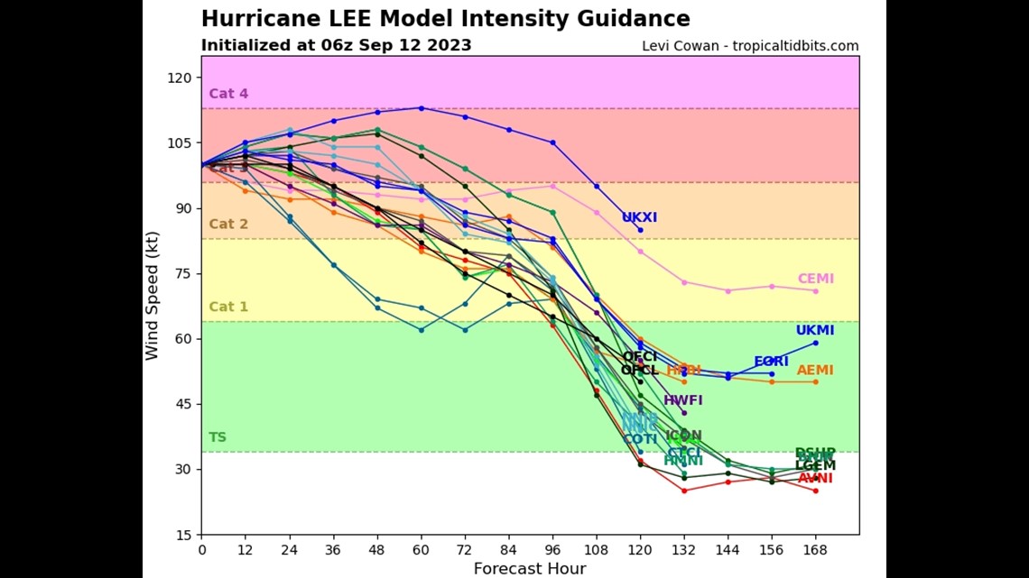
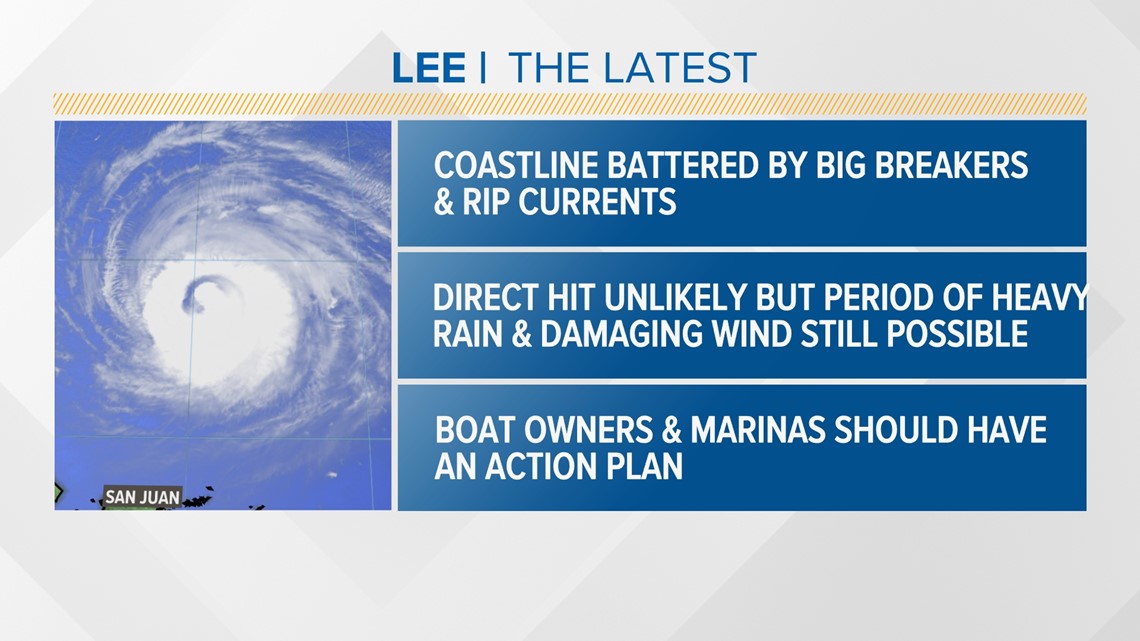
As of now, I can confidently say the coastline is going to get battered by big breakers, large swells, and rip currents this weekend. Rain and wind impacts are still up in the air, but there could be a period of both Saturday into early Sunday. Because of all the rain we've had recently, inland and freshwater flooding could be possible. The threshold for power outages will be lower too thanks to saturated root systems and leaves on trees. Boat owners and marinas should have an action plan ready to roll in case boats need to be pulled later this week at a moment's notice.

The National Weather Service in Caribou says it will be launching weather balloons every six hours for more accurate modeling.
Continue to follow NEWS CENTER Maine for the very latest. And follow me on Twitter and Instagram too.
- Todd
For the latest breaking news, weather, and traffic alerts, download the NEWS CENTER Maine mobile app.
RELATED: NEWS CENTER Maine Weather Forecast

