MAINE, USA — Maine's lack of rain has been notable this fall. Although we saw many beautiful bluebird days, the sunshine also has its share of drawbacks.
The drought has expanded across the state, with almost half seeing "moderate" drought conditions. We are also seeing an increase in the threat for wildfires.
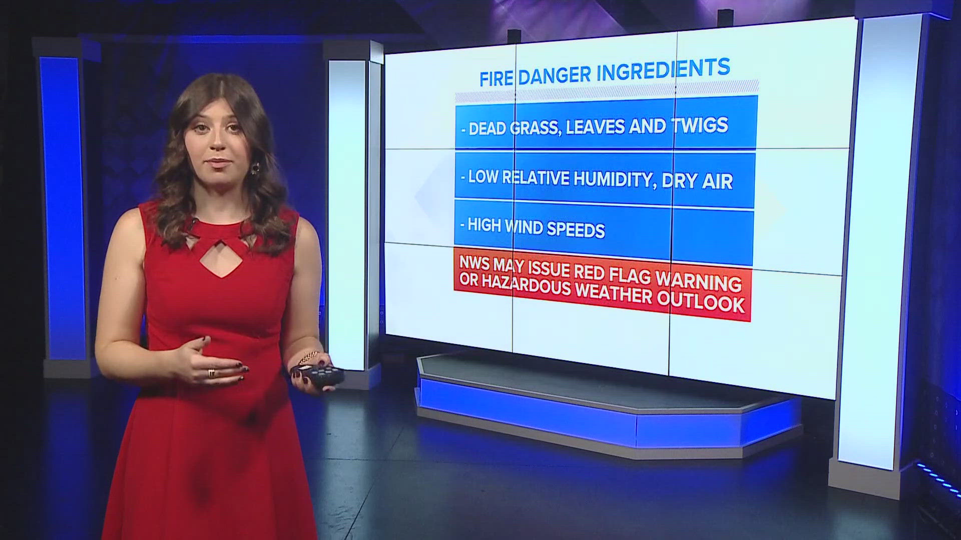
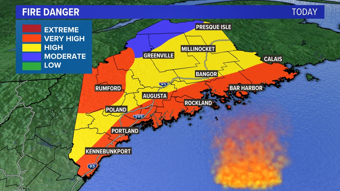
Recently, some parts of Maine have reached the "very high" fire danger category, which is a 4 out of 5 on the scale. But what exactly goes into these margins and what should we look out for in regards to fire danger?

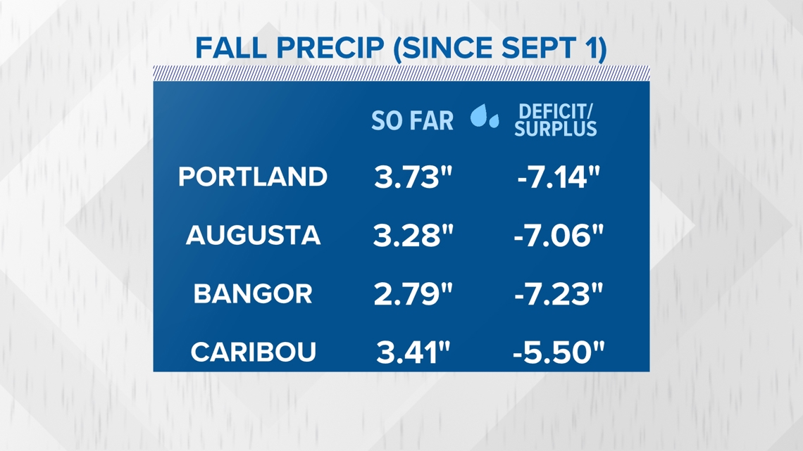
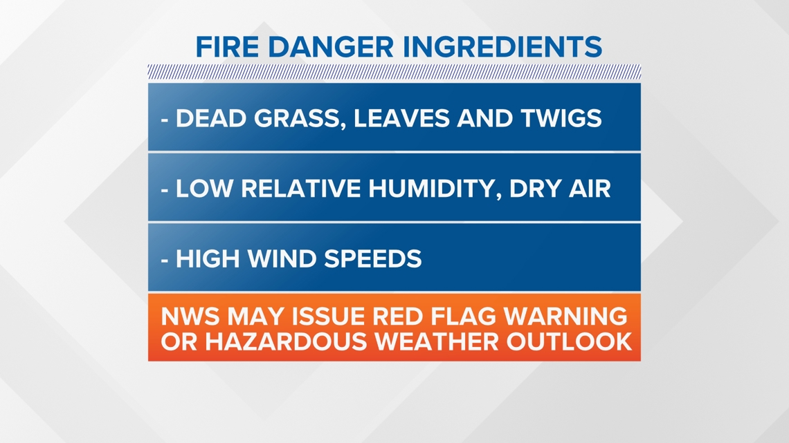
The first one that likely comes to mind is the most obvious—the extreme lack of rainfall across the state. Fall is typically our wettest season, with October being our wettest month. Yet, we're running a deficit of several inches across the states, with some places down seven inches of rain since Sept. 1.

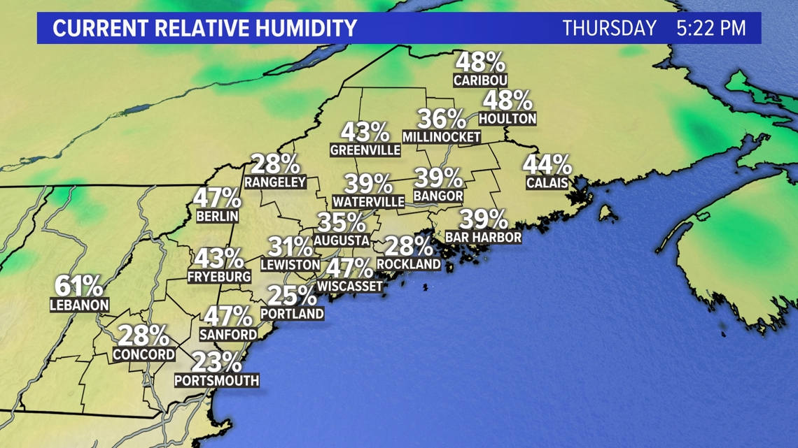
In addition to rain, air moisture is another factor when thinking about fire danger. Low relative humidity levels indicate very dry air, and dry air can't dampen dry brush, which is what fuels these fires, or sparks. But relative humidity comes into play even more when combined with the third factor—wind.

Wind can turn manageable fires into out-of-control blazes very quickly by picking up and carrying small sparks great distances. The faster the wind, the harder an already existing fire is to put out, and the more likely it is to spread to more areas.

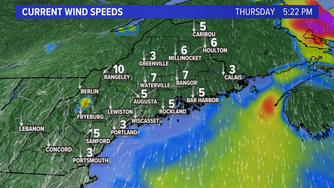
These three factors: rainfall, humidity, and wind, come together to create the ideal conditions for fires to start and spread. When this happens, the National Weather Service, in accordance with emergency managers, will issue Red Flag Warnings or Hazardous Weather Outlooks.

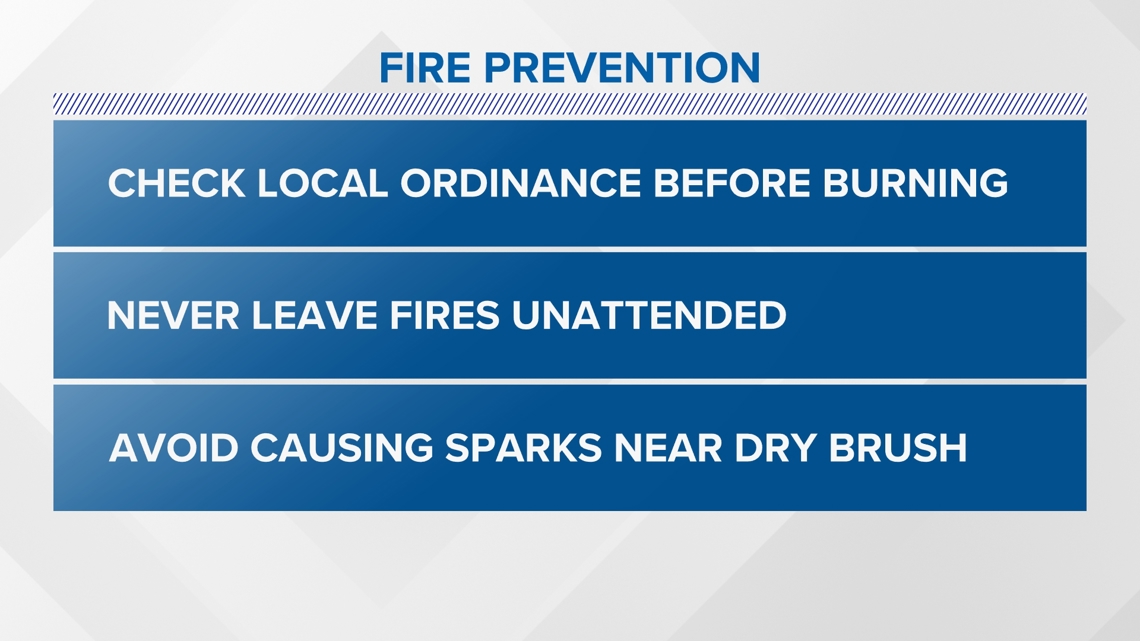
When the fire danger is high, it's important for people to start taking precautions to avoid starting wildfires. Avoid burning near dry brush, check local ordinances before burning, and never leave a fire of any size unwatched or unextinguished.

Always remember the wise words of Smokey the Bear: Only you can prevent forest fires.

