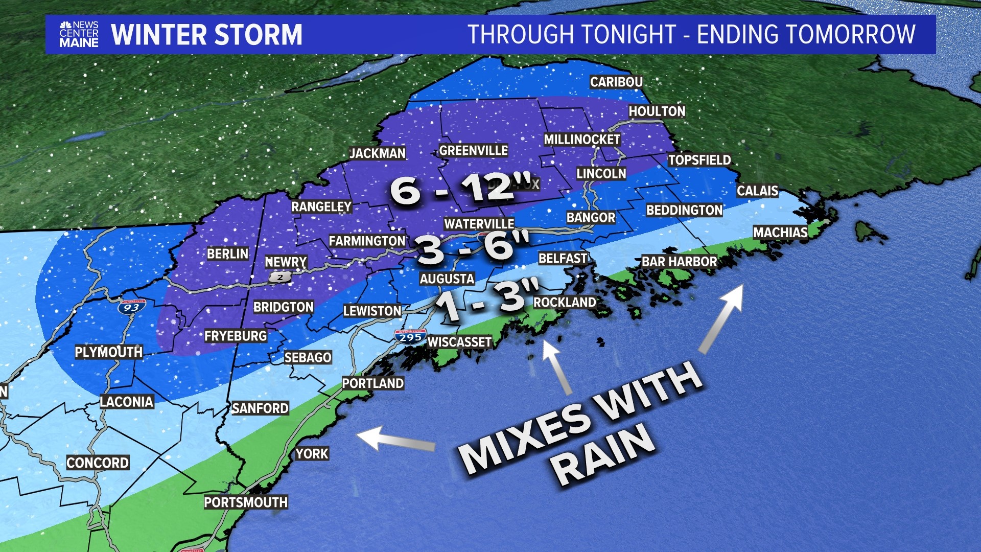
PORTLAND, Maine — Get the plows on and the shovels ready: The storm is here.
I'm expecting travel to be difficult overnight into Monday for parts of Maine. Heavy, wet snow and some ice will cause slippery conditions on untreated surfaces.

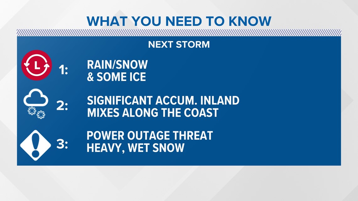
The jackpot for this storm will be the western mountains of Maine heading up into the central highlands.
I also expect the White Mountains in New Hampshire to get hit hard with 6 to 12 inches. The highest terrain will get around a foot of heavy, wet snow in these regions.
Less will fall outside of these areas because the temperature is expected to be closer to freezing and dendrites having a tough time realizing their full potential.
Even less snow will fall along the coast near the I-95 and 295 corridors, where I expect this to be a mostly rain event because of the above freezing ground temperatures.
Here a look at the track of the storm.

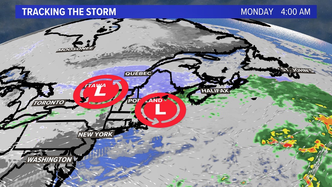
Storm tracker weather mapping shows two areas of low pressure featured. The one in the Great Lakes will transfer some of its energy but not completely phase with the one in the Gulf of Maine. This means we won’t get a major storm or a nor’easter. However, we do get significant snow away from the coast.

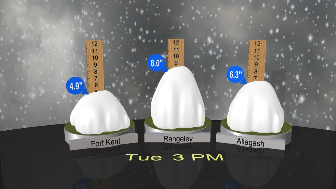
The snow continues through Monday evening, ending Down East.
It will cause travel problems for nearly all of Maine except the southern coast and immediate Down East coastline.
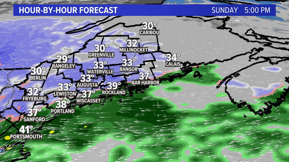
Here’s the radar at 5 p.m. Sunday.

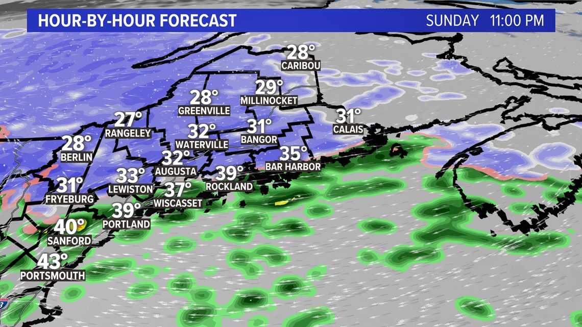
Here’s the radar at 11 p.m. Sunday.

Here’s the radar at 6 a.m. Monday.


Here’s the radar at 8 am Monday.


You'll need the plows for most of Maine, except the immediate coastline.

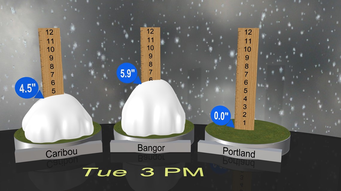


To recap, this storm won’t go down in the record books, but I hope you have your snow tires on because winter always arrives early in Maine, and this year is no different.


Follow along for more weather blogs and pizza discussion.

