
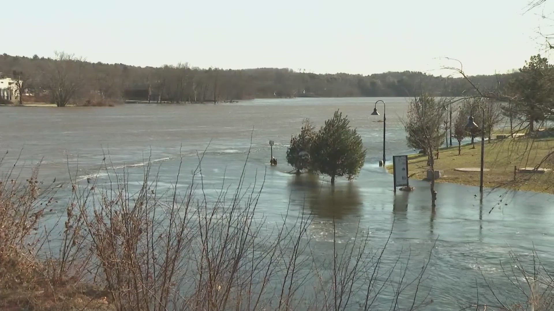
GARDINER, Maine — While thousands of Mainers were still without power and many homeowners and businesses reeling from flood damage, crews with the U.S. Geological Survey bureau were on the ground documenting just how high flood waters got in certain areas of the state.
A USGS crew was in Gardiner on Thursday, where water levels were still about 10 to 15 feet higher than normal, according to crew member Greg Stewart, the USGS's Chief of Hydrologic Monitoring for the New England Water Science Branch.
“Obviously, there’s a lot of communities right here on the Kennebec [River] that are affected by this flood," Stewart said.
Communities and businesses like The Depot Pub in Gardiner.
“This happened so fast," Steve Casey, The Depot Pub owner, said while looking at what's left of his restaurant near the Kennebec River.
Casey and his staff got to the restaurant early Tuesday morning to find 2 feet of water inside. They were able to donate a majority of their food to a local food bank, but devastation ensued a short while later.
“All the sudden, we heard this what sounded like a waterfall went down in the basement, and it was just coming in like Niagara Falls," he said.
Within two hours, Casey said the basement was completely full of water. He's owned the restaurant for nearly two decades and said this flooding is nothing like he has seen before.
“We lost all of our equipment down here. Our walk-in cooler has all of our beer in it, and it’s completely like ruined," The Depot staff member Katie Snow said.
Casey estimated about $100,000 in damage, but he's waiting to assess how much they officially have lost once they get power back.
USGS' collection of high water-level data is critical to help towns located alongside rivers better plan for future developments.
"You have some towns that are up on hills and some towns that are next to the river. You don’t want to necessarily say, 'Oh, you have to move your entire town.' So, documenting the floods where the people are is kind of important, as well as documenting how high it got," Stewart said.
The data will also either validate the existing flood insurance studies or will question if there's an issue to the current numbers, he said.
Stewart said this was a unique event because it's December, temperatures were more mild, and rain saturated and melted the snow. He said the 4 to 6 inches of rain that fell in some areas across the state actually turned into 2 to 3 more inches in volume because of water in the snow.