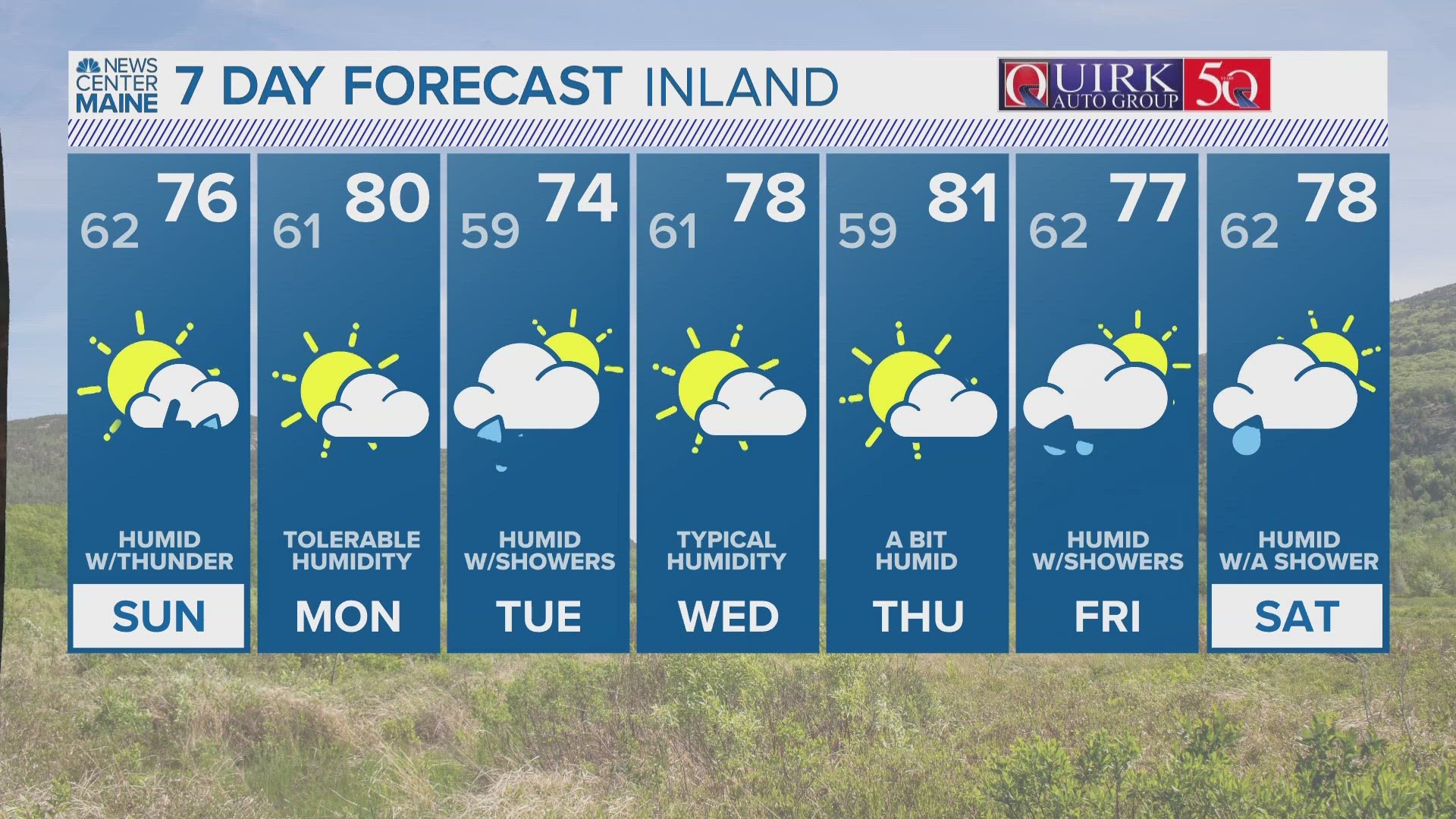
PORTLAND, Maine — A cold front will spark rounds of severe weather Saturday night and Sunday in the Pine Tree State. The first round arrives tonight, with hail and damaging wind. The second round of thunderstorms moves in for the middle of the day Sunday.

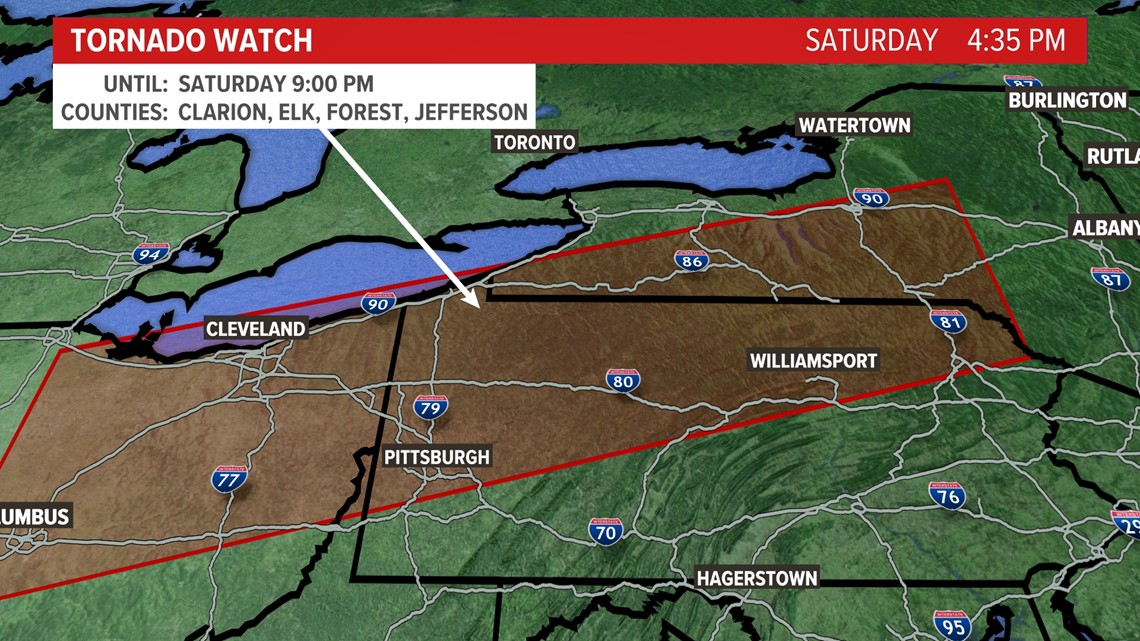
As of Saturday afternoon, a tornado watch was posted for a large chunk of New York until 9 p.m. I’m not expecting tornadoes in Maine, but some of the energy moving into New York will arrive in Maine after midnight.

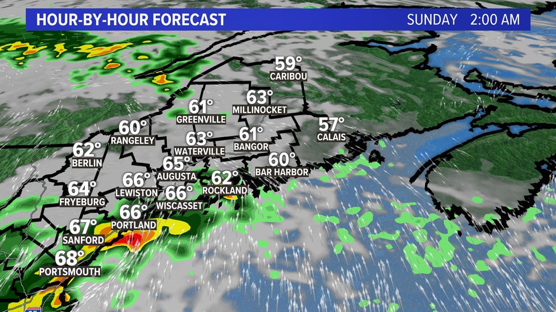
Watch out in southern Maine for hail up to 1 inch and damaging wind as the cells from New York move east.

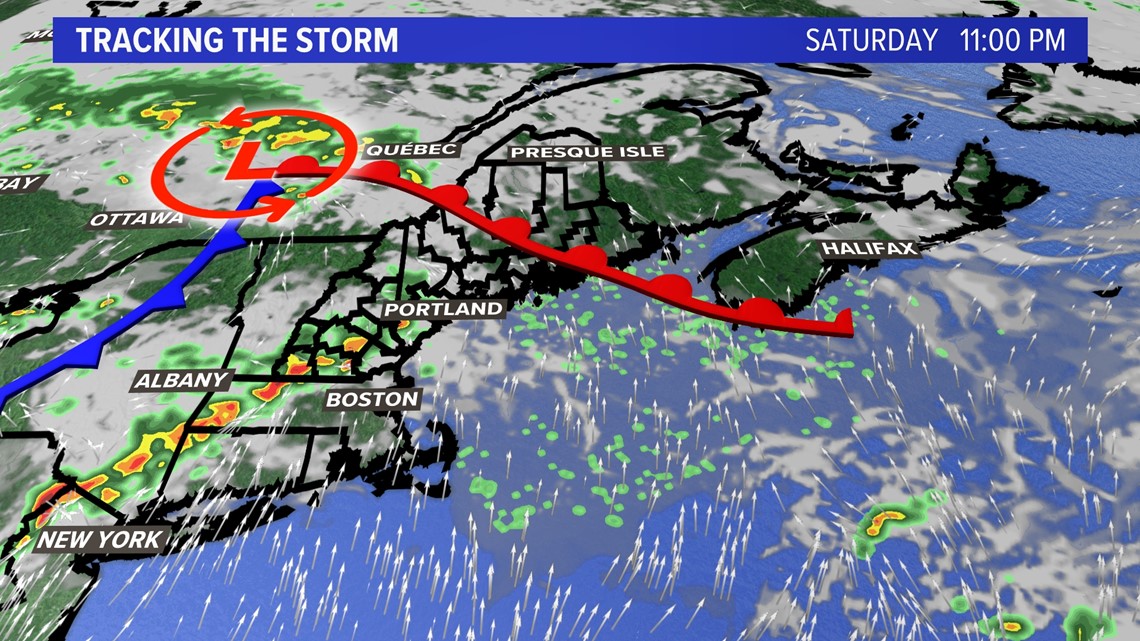
The cold front will advance on New England by Sunday and bring another round of thunderstorms to Maine.

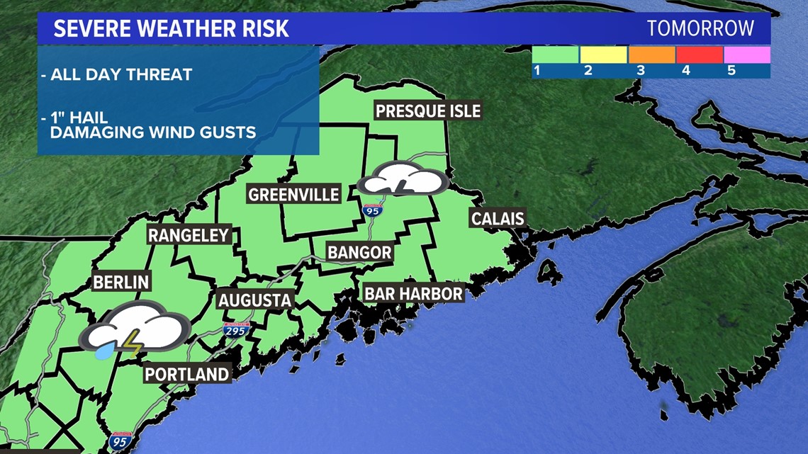
Thunderstorms will be on the 1 out of 5, lowest category, for Sunday. However, they will still likely bring hail and damaging wind as primary threats.

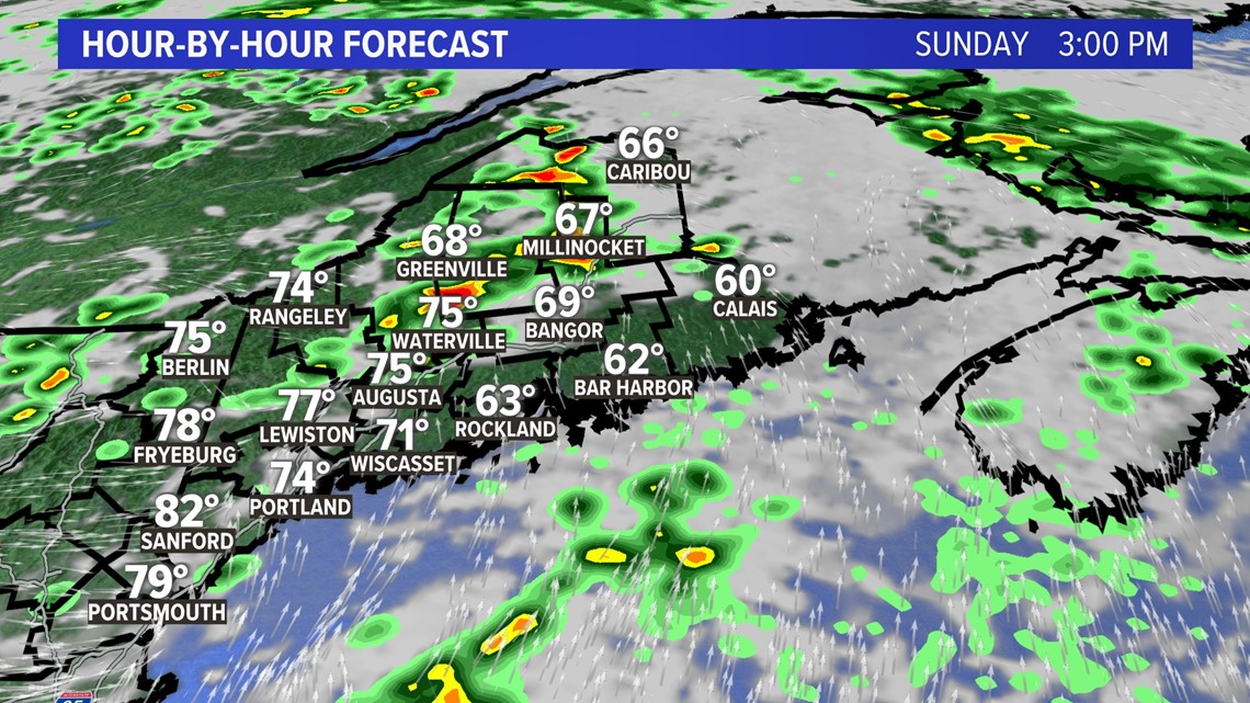
The middle of the day and early afternoon are the times for most scattered thunderstorm development. Have a way to get warnings from the NCM app and stay weather aware.
You can get the latest updates by following me on social media:

