PORTLAND, Maine — The good news is the overall forecast here hasn't changed.
Or maybe that's the bad news, if you were enjoying the unseasonably warm stretch of weather leading up to this storm.
Here comes our storm on radar. Again, this isn't a nor'easter (or northeaster, according to the purists. Discuss among yourselves). Instead, this is a warm front with moisture that will run over the top of it.

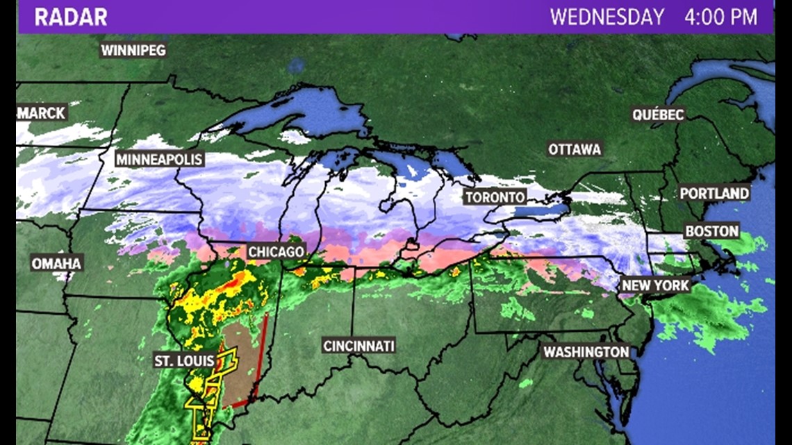
The net result, however, won't feel a lot different than a nor'easter with relatively light winds.
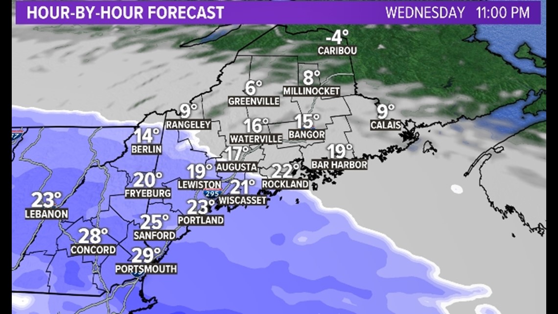
Snow moves in tonight from southwest to northeast. By 11 p.m. there's a decent snow shield over southern Maine.

By early Thursday morning we can expect some really decent heavy bands across central and southern Maine. This will be the worst of the storm for many of us.

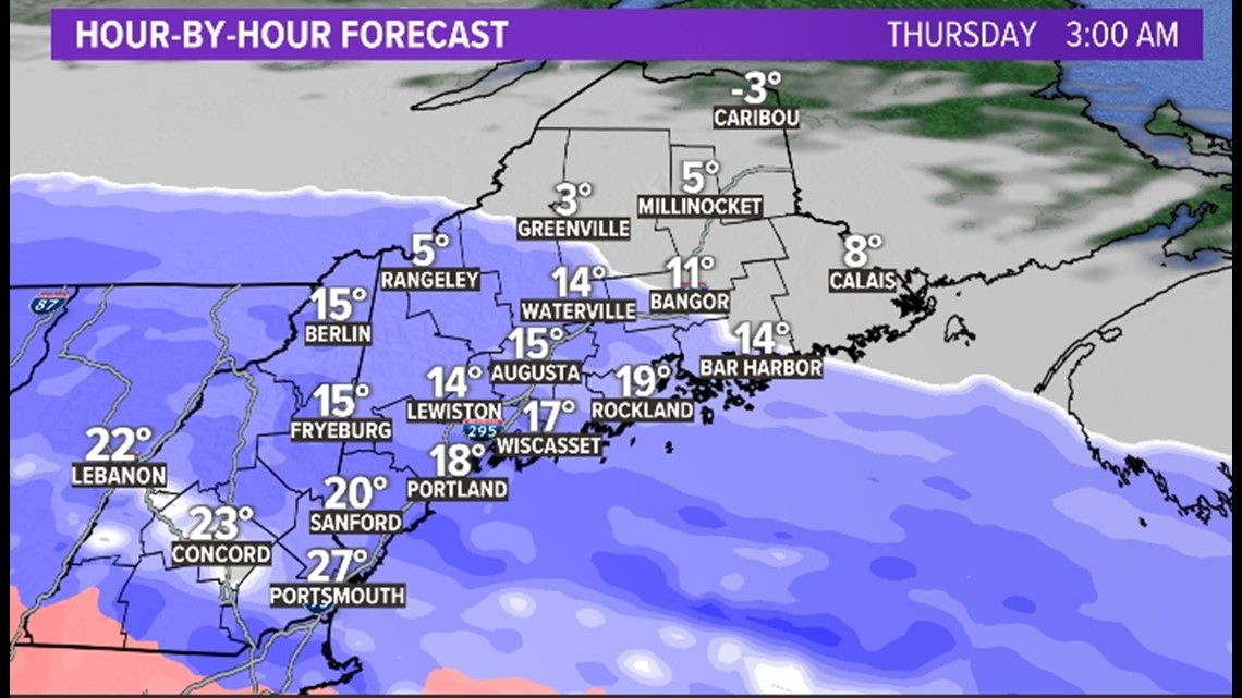
It's still snow by Thursday morning during the commute. Meanwhile, Bangor just gets going at this point or a little before (say, 5 a.m.).

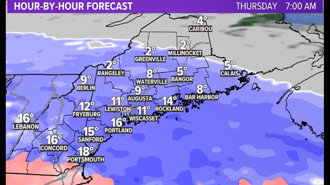
There's a lull through the middle of the day into the afternoon. During that time, it may stop snowing entirely.
It will be at this point that trolls angrily tweet me: "YoUr FoRecAST waS WRonG!!"

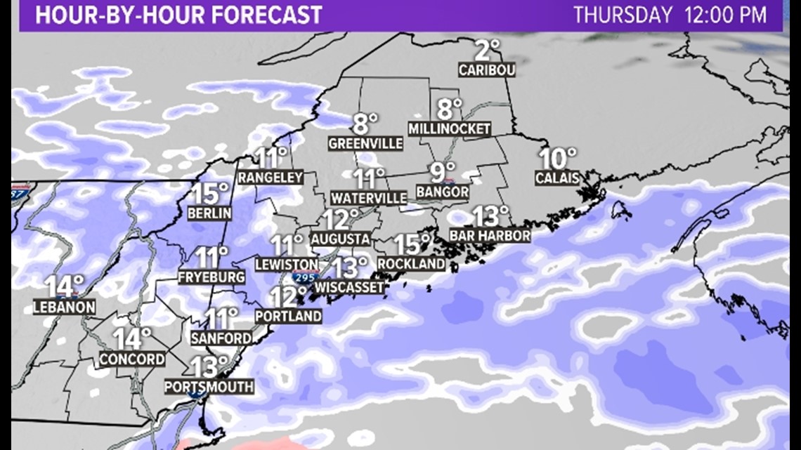
But if you've been watching me over the past few days (at the expense of watching much more attractive and professional meteorologists), you know there will be a second round to this storm. That arrives on Thursday night.

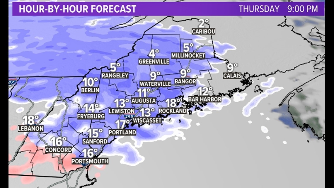
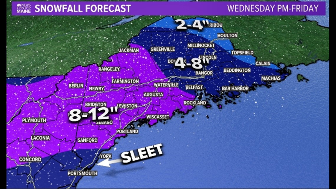
Now this round by itself isn't really a huge deal. It's basically a 2 to 4 inches. But it will come on the heels of the previous accumulation and make cleanup a pain.
The second round winds down Friday morning, and after that we are into the freezer for the weekend.

The midrange pattern... well, I hope you didn't think spring was here already. Hold onto your hats, kiddos.
Carson out: https://www.instagram.com/keithcarsonweather/


