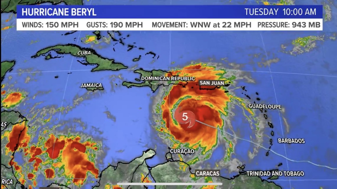
PORTLAND, Maine — Hurricane Beryl was a formidable and historic storm. It was the easternmost hurricane to form in the Atlantic, the earliest Category 4 and 5 storm on record in the Atlantic Basin, and the strongest June and July storm by measured wind speeds—just to name a few.
Beryl first made landfall island of Carriacou in Grenada as a Category 4, passed just south of Jamaica, eventually making landfall again on Mexico's Yucatan Peninsula as a Category 3. Eventually, the storm made landfall a third time in the United States in Matagorda, Texas as a strong Category 1.

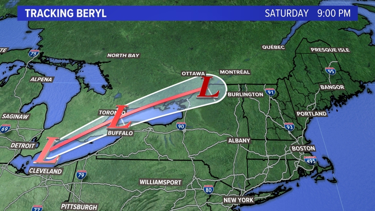
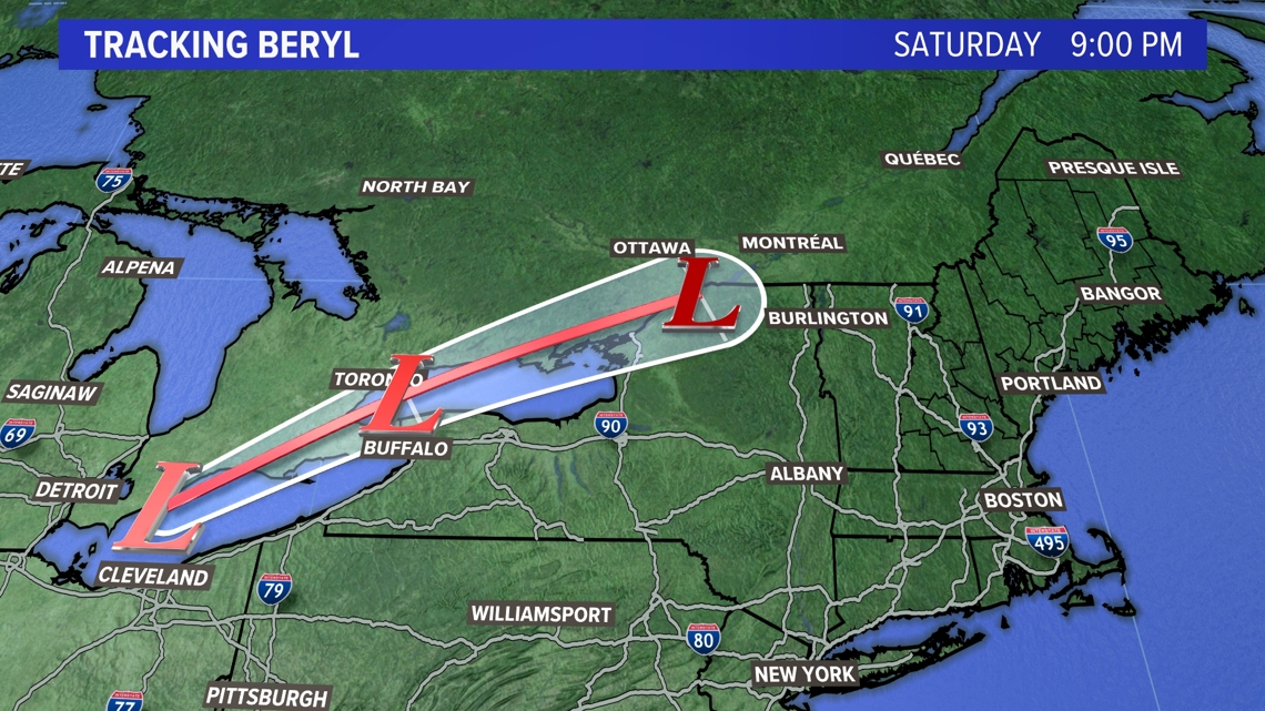
Don't be fooled by the category dropping to a 1: Beryl still caused significant damage to the area. Houston saw extreme flooding and numerous power outages. Beryl also caused a tornado outbreak in Louisiana, Kentucky and western New York as it moved northward.
Beryl has since become a "post-tropical cyclone," and now we will start seeing the impacts here in Maine.

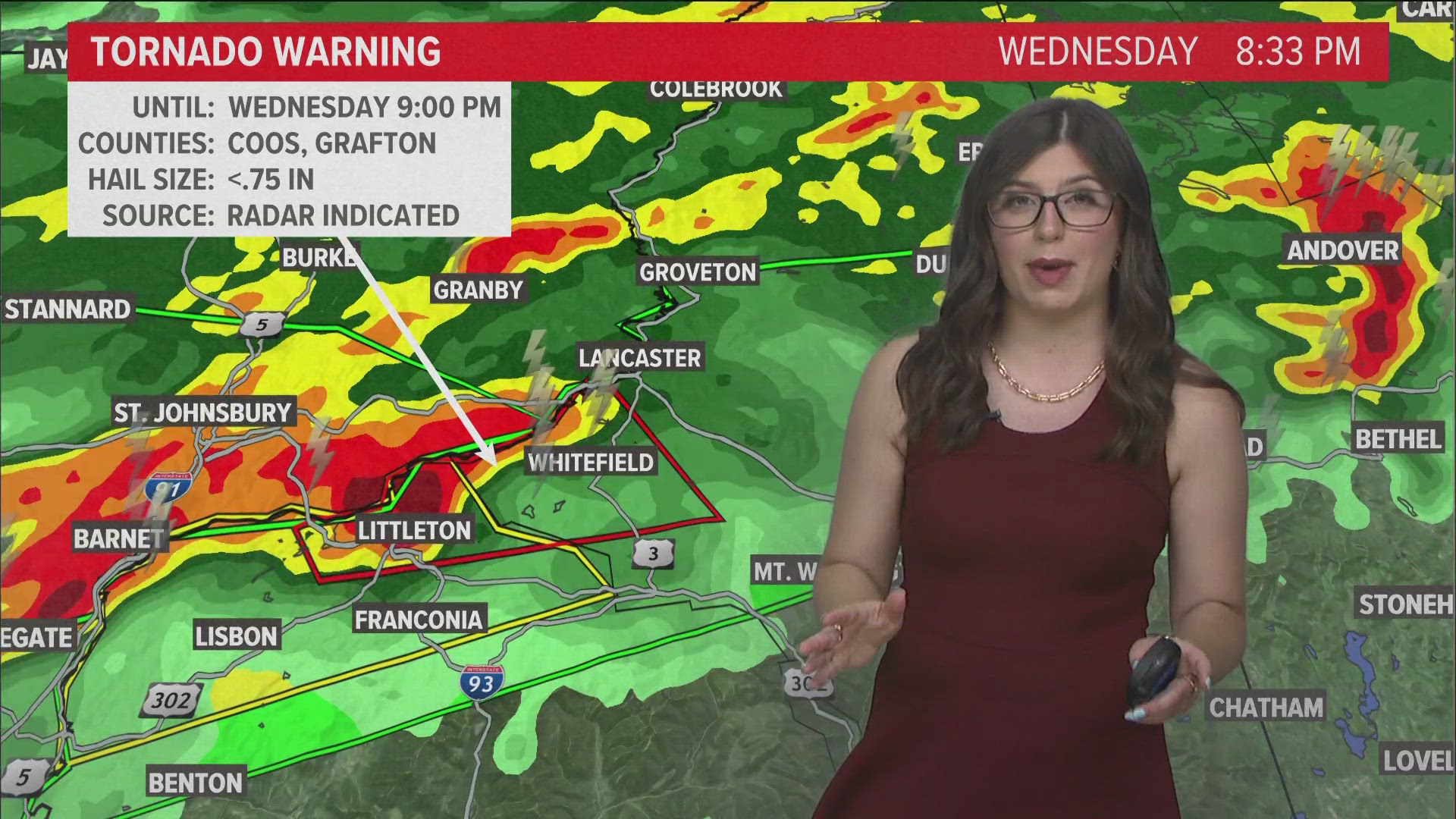
The remnants of Beryl have enhanced an area of low pressure and brought a lot of tropical moisture. This was evident earlier Wednesday afternoon with oppressively high dew points in the mid-70s. Wednesday night, torrential rain along a warm front brought heavy rain and severe weather to northern Maine and New Hampshire.
The tropically-enhanced airmass had very high PWATS (precipitable water), which is essentially how much precipitation an airmass has. Because of this, rainfall amounts will be very high along the front and flooding may occur. Some places may see an excess of 3 inches of rain where the heaviest bands set up.
Even though Hurricane Beryl made landfall almost 2,000 miles away, it still had an impact, albeit an indirect one, here in Maine.
Enjoy this fun fact of the day!
Dana

