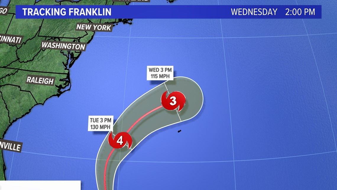
PORTLAND, Maine — Hurricane Franklin is forecasted to reach Category 4 "major" status according to the National Hurricane Center. It will be the first major hurricane of the year in the Atlantic Basin.
Despite Franklin being several hundred miles from Maine with no landfall expected on the East Coast, it will still send long swells and rip currents to the coastline.


Let me be clear, Maine will not see any rain or wind from Franklin, but distant hurricanes still pose a serious threat to swimmers along the coastline.
For maximum safety, it is recommended that you swim near a lifeguard this week as Franklin moves off the East Coast.


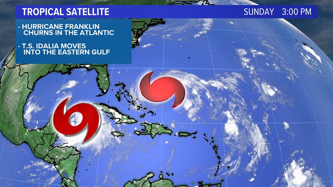
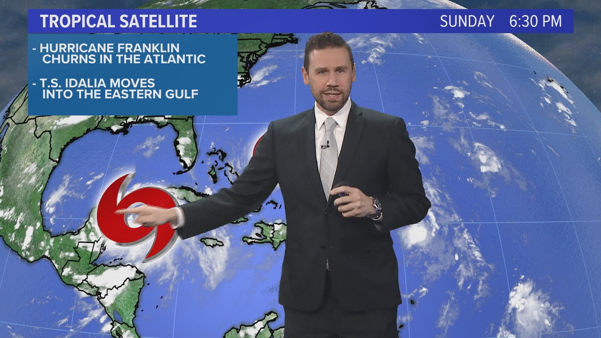
The tropics tracker satellite features two systems. Hurricane Franklin is slowly strengthening in the Atlantic Ocean with "major" status expected soon.


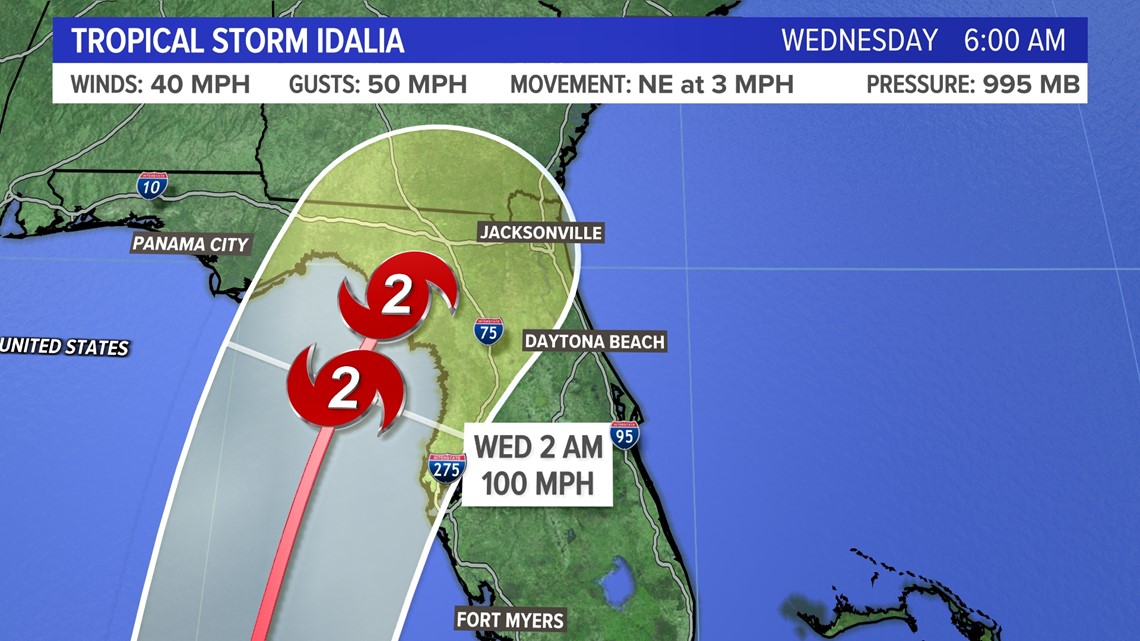
Tropical Storm Idalia is expected to turn into a Category 2 hurricane at the very least and strike Florida.


Franklin will bring significant impacts to Bermuda with wind, rain, and storm surge.
Idalia will bring significant impacts to the Big Bend area of Florida with storm surge, flooding rains, and wind. It could reach "major" status, too by late Tuesday night.
For Maine, the greatest threat comes only from Franklin by midweek. Here’s a look at the forecast wave heights next week.


It doesn’t look like much, but the long swells of more than 10 seconds and rip currents will be hidden in the waters where swimmers are.
You can get the latest updates by following me on social media:

