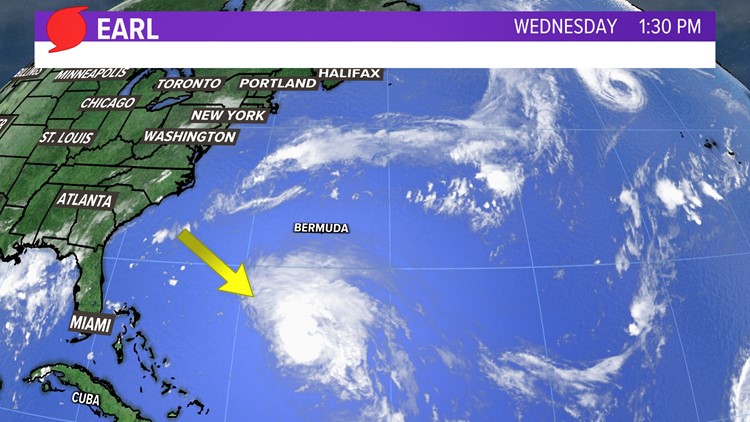
MAINE, USA — The National Hurricane Center's latest observation of Hurricane Earl puts it 440 miles south of Bermuda in the Atlantic Ocean, moving northward with max sustained winds of 85 mph.


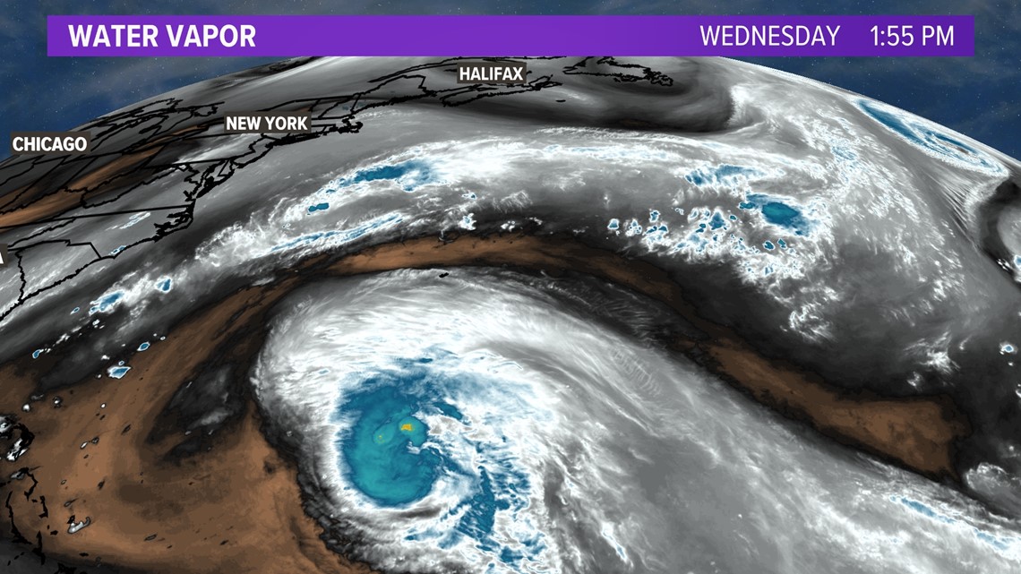
Earl is easy to see on the water vapor satellite imagery as it churns in the Atlantic Ocean.

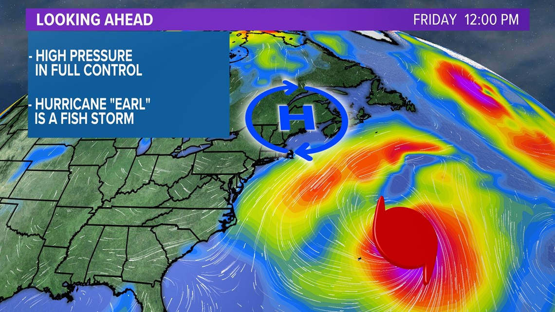
The latest NHC track says Earl will become a major hurricane by Thursday night. A major hurricane is a category 3 or higher storm. Earl is forecast to move well east of New England this weekend, keeping tropical storm force wind offshore.

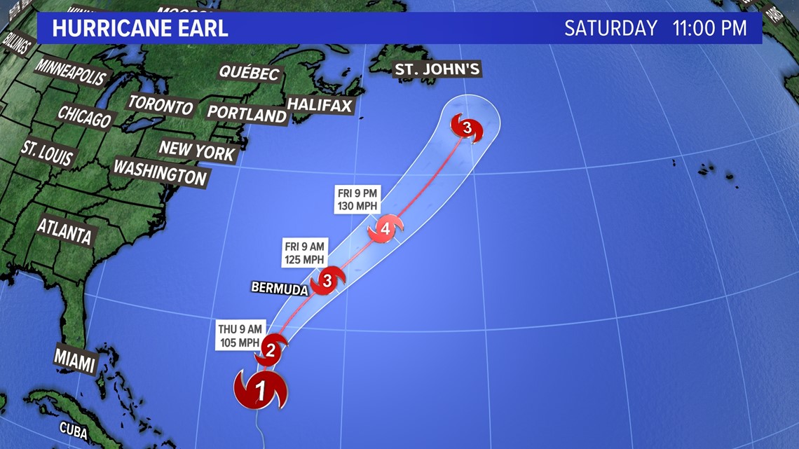
This is all thanks to high pressure building in over Maine late this week and into the weekend, keeping the hurricane away from New England.

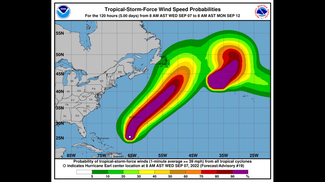

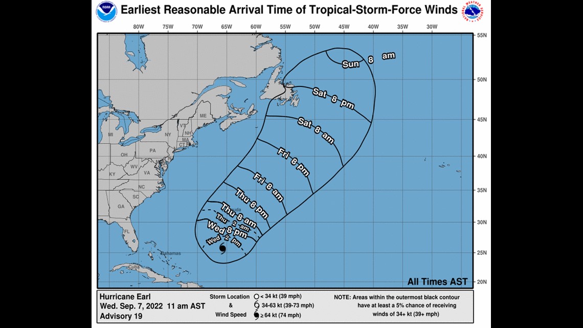

Still, due to Earl's large size and strength, the hurricane will create swells up and down the Maine coastline of around 5 feet, according to the National Weather Service.

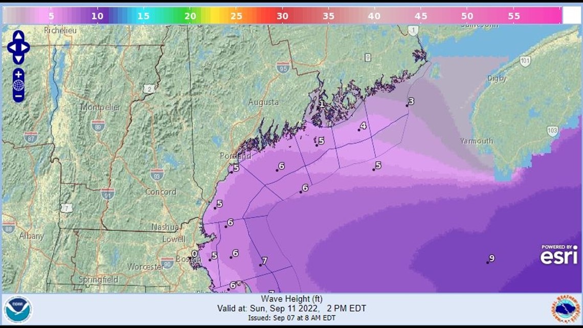
The swells will create a rip current risk, and swimmers are advised to take caution. With summer unofficially ending last weekend, lifeguards will be sparse despite the warm temps at the beaches.
To get updates on Hurricane Earl, visit the National Hurricane Center's website.
For updates on the storm and its potential impacts on Maine, follow me on Twitter and Facebook.
- NEWS CENTER Maine Meteorologist Jason Nappi
For the latest breaking news, weather, and traffic alerts, download the NEWS CENTER Maine mobile app.

