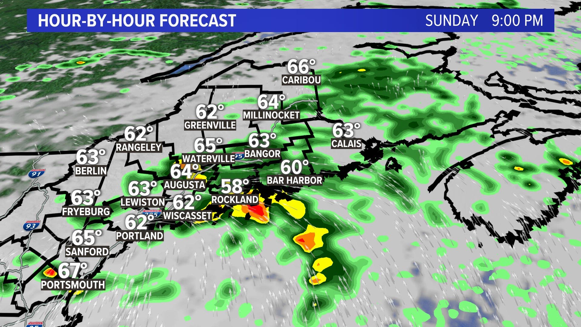
The rainy pattern we’ve been experiencing for several weeks in Maine will take a short break soon. But first we have to get through more showers tonight and Monday as waves of moisture keep heading our way from the south.

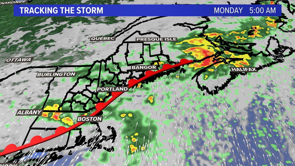
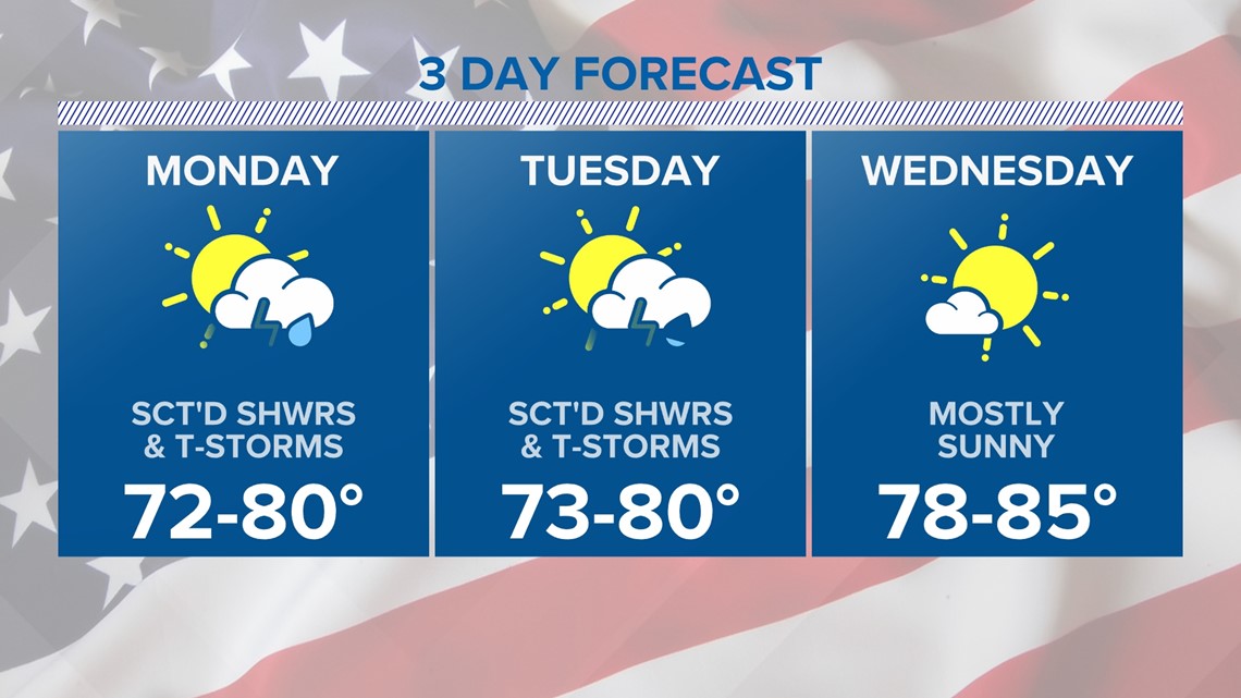
The good news is the widespread rain will end by the middle of the day on Monday with scattered showers and thunderstorms for Tuesday and Wednesday.

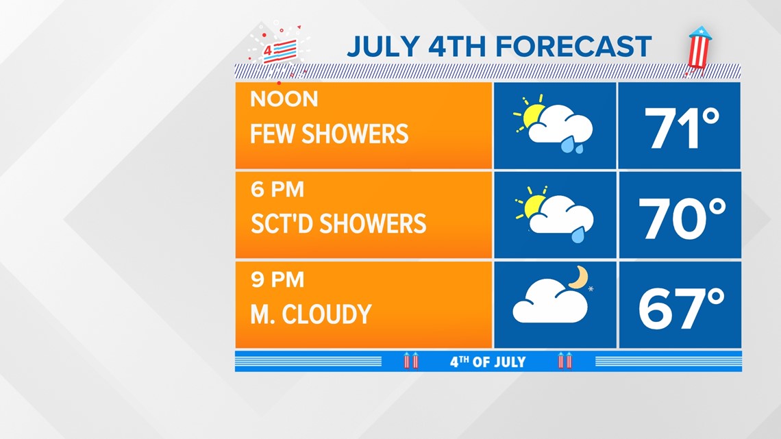
Even better news is that the 4th of July will see the daytime showers and thunderstorms come to an end by the evening. I expect the fireworks displays to be dry, but bring a chair as the ground will be wet.

Then all eyes turn to the weak ridge of high pressure moving in by mid to late-week over New England.

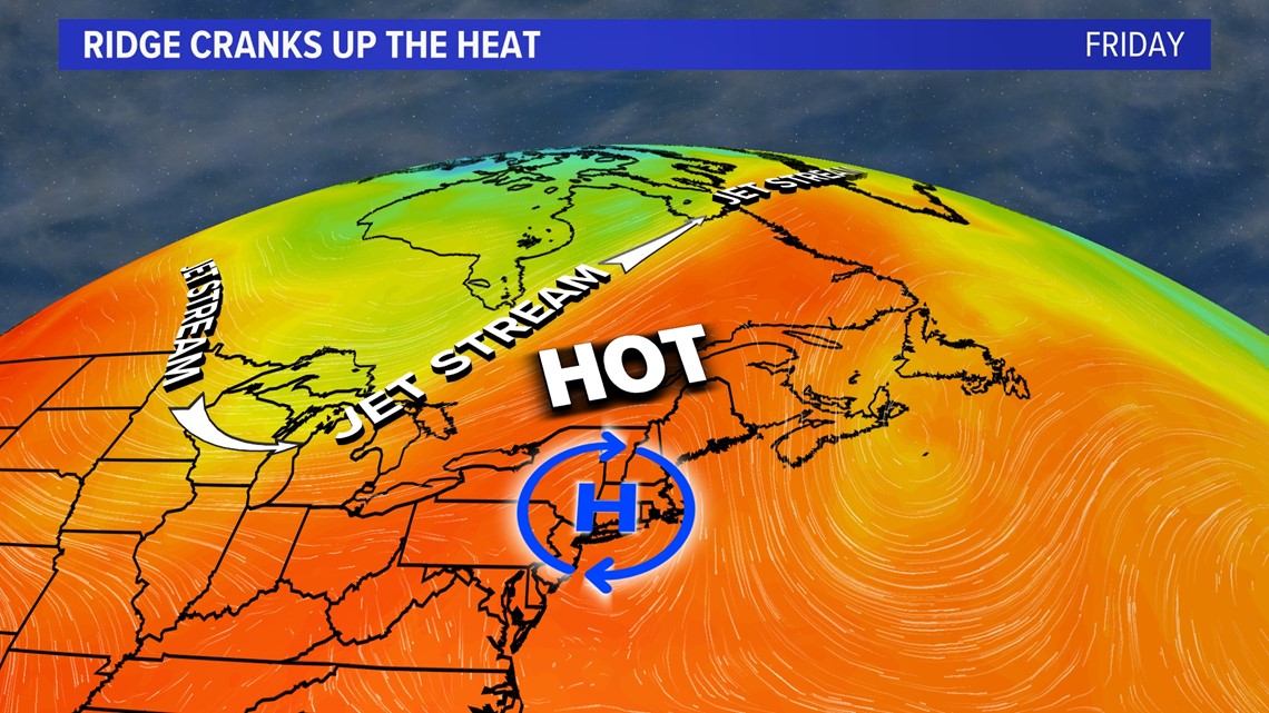
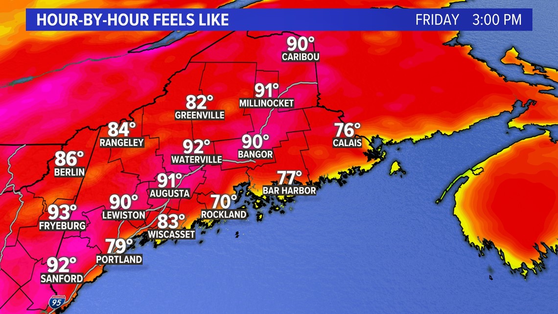
We will see feels-like temps get into the 80s and even 90s by Friday as the high is in better position than last time (where the sea breeze was strong).

Look for the muggy meter to feature quite uncomfortable readings state-wide by the middle and end of the week as a southerly breeze brings the humidity from the Mid-Atlantic north.

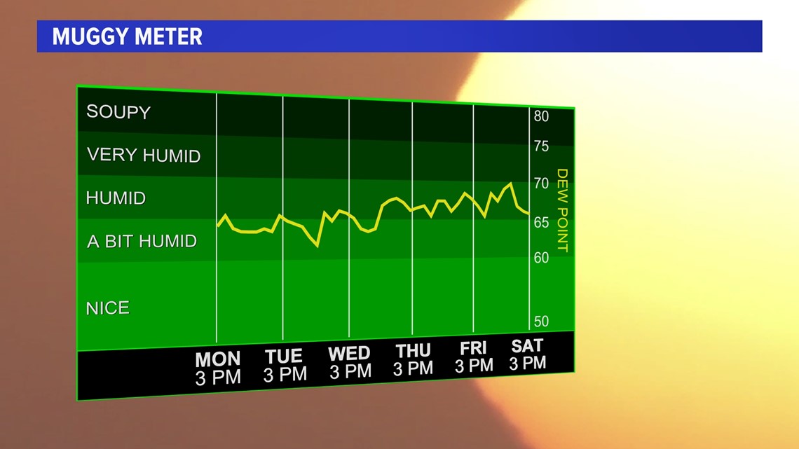
As a matter of fact the dewpoints are expected to surge into the 70s as the soupiest air of the season moves in.
-Meteorologist Jason Nappi
You can get the latest updates by following me on social media:

