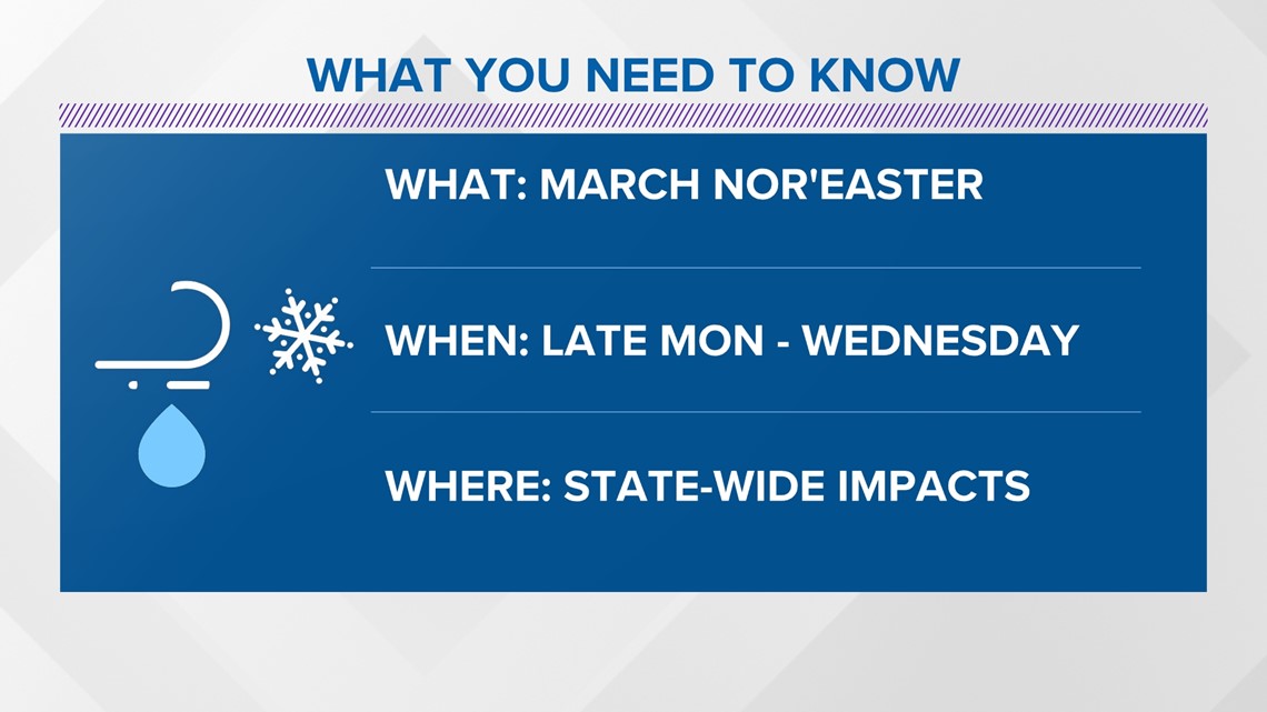
MAINE, USA — A March nor’easter is no surprise to any Mainer, and it seems Old Man Winter has at least one trick up his sleeve before the season is over.

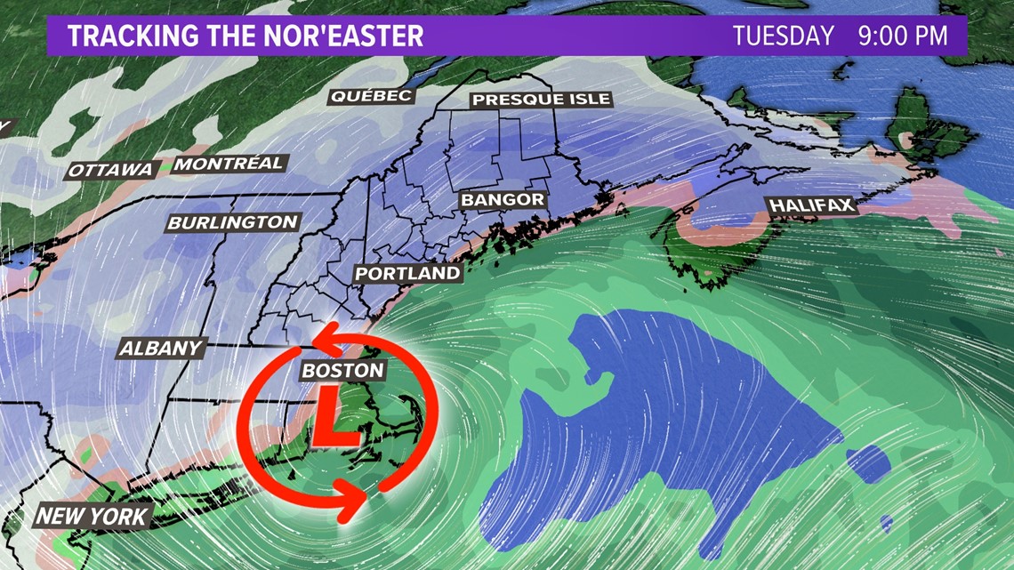
On Monday, an area of low pressure will move off the coast of the Carolinas and head northeast. It will begin to undergo cyclogenesis and "bomb" out as it heads north. The pressure will drop 24 mb in 24 hours, making it a "bomb cyclone."
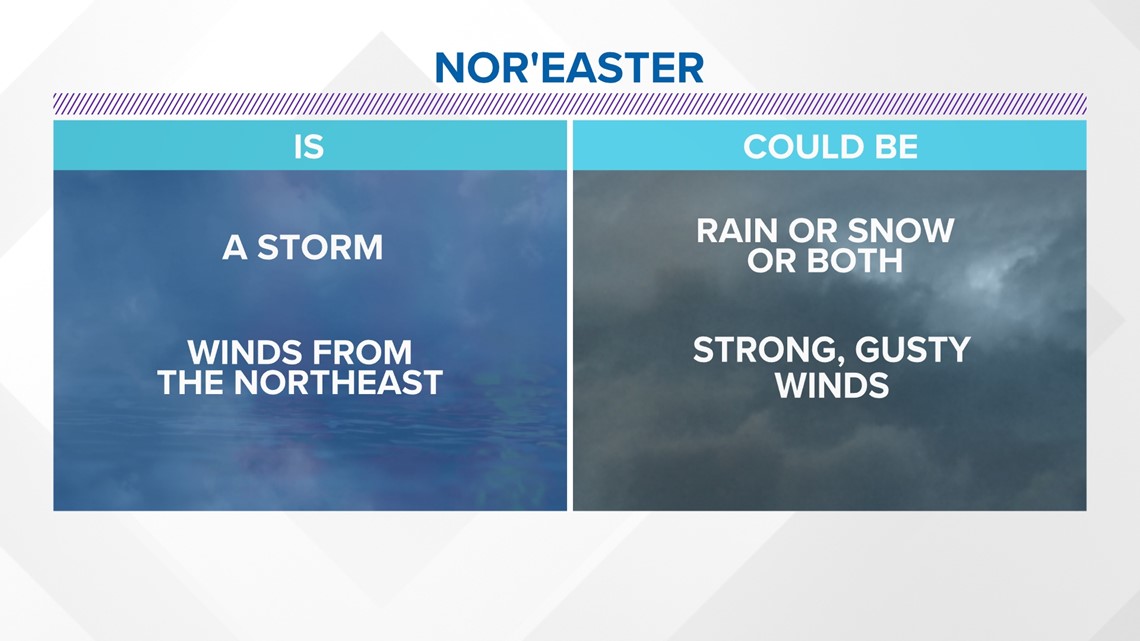
What makes it a nor’easter is simply the wind coming out of the Northeast. A nor'easter could have rain or snow, or both. It could also have gusty winds. This one will have all of it.

Let’s discuss the dynamics of the storm in more detail.
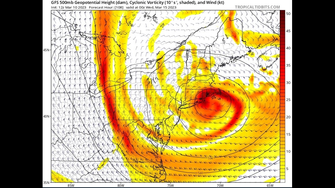
At 500 mb in the atmosphere (20,000 feet up) there will be plenty of lift needed to produce snow. As the heights in the atmosphere fall, we will see this storm make its own cold air.

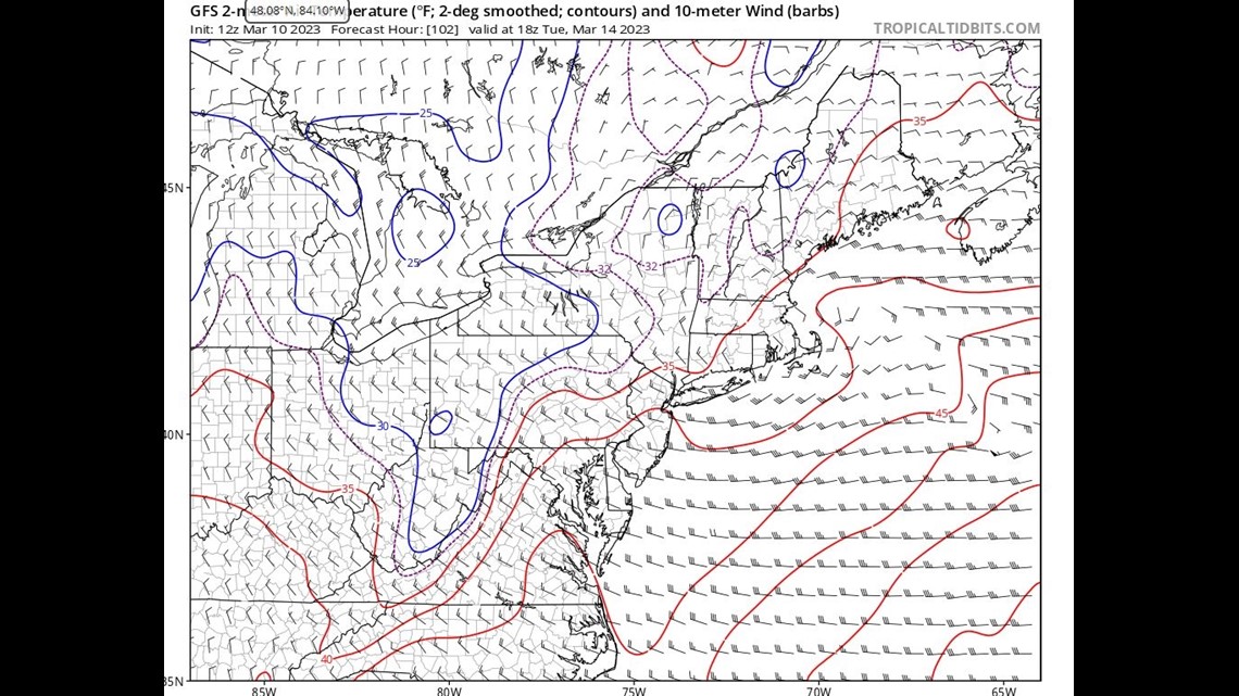
You need that in March with temps running above average at the ground. See that red line with the temps at 35? We will need cold air to come down to the ground from heavy snowfall to get accumulation.

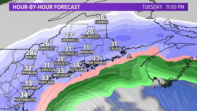
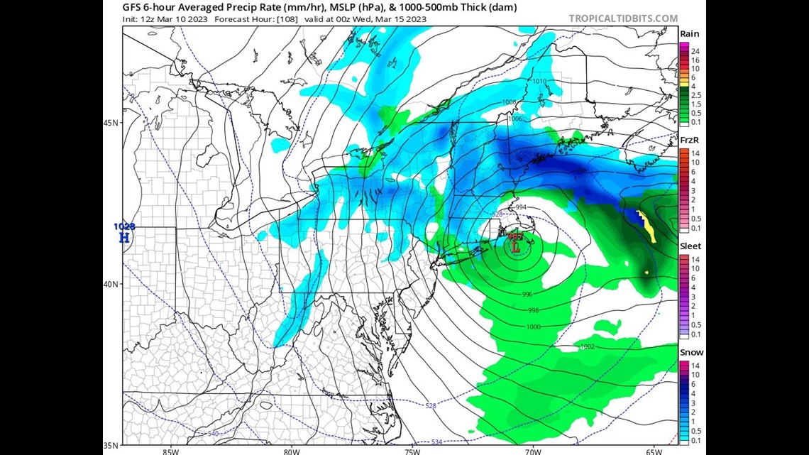
A future look at model radar shows a band of heavy snow on Tuesday that will move northeast through Maine. That’s the dark blue banding you see on the map. The bulk of the snowfall will happen with 1-3 inch snowfall rates per hour.

A quick at the GFS model data shows snow depth increasing dramatically in a short amount of time after the snow band passes through.

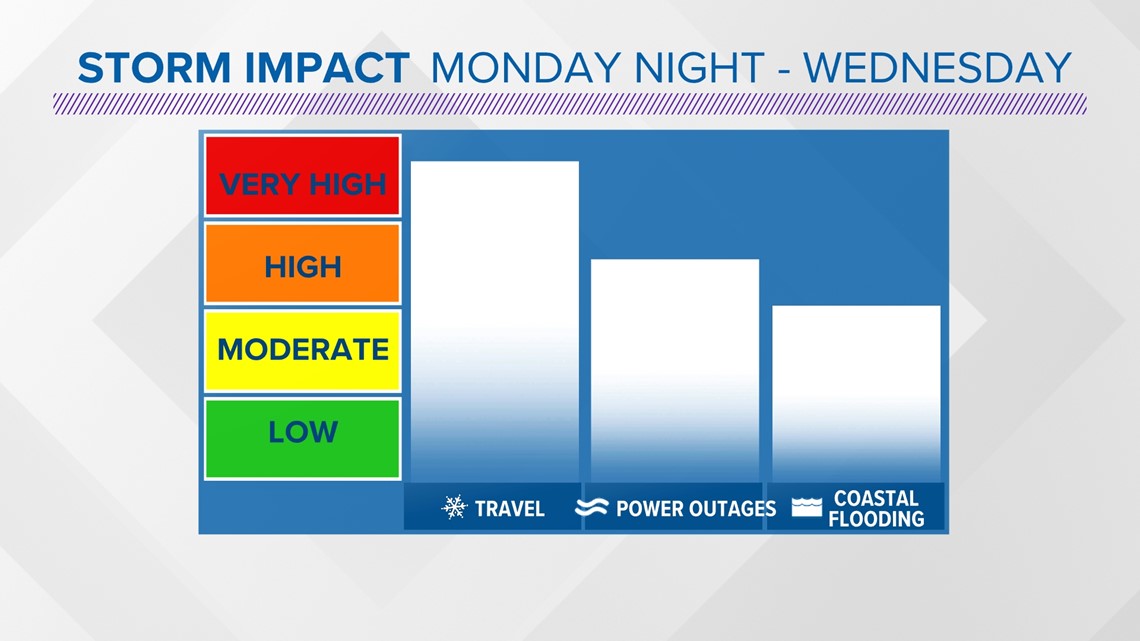
Impacts from the storm will vary, but I’m confident that there will be significant travel issues statewide.

This nor’easter probably won’t be strong enough to break any records, but it will be a reminder that winter in Maine doesn’t end once March begins.
I’ll have more updates to the snow map and specifics on my social media this weekend, so keep checking back.
-Meteorologist Jason Nappi


