ST. PETERSBURG, Fla. -- Time is beginning to run out for you to put the finishing touches on your preparations for Hurricane Irma.
If an evacuation order comes down for your area, do you know where to go and what zone you're inside? Check our interactive map. What about routes should you have to leave the area? We have a county-by-county guide.
Track the tropics: Download the 10News app
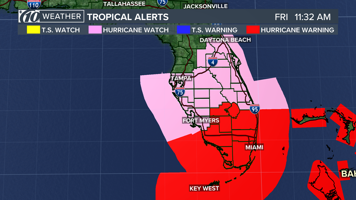
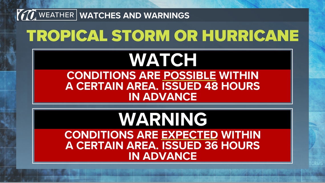
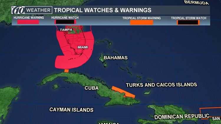
Several hurricane warnings and watches now are in effect for Florida and the Tampa Bay region, meaning that within the next two days, hurricane-force winds in excess of 74 mph likely will be a reality.
As of the National Hurricane Center's 5 a.m. Friday, Sept. 8, advisory, these areas are under hurricane alerts:
Warning: Jupiter Inlet southward around the Florida peninsula to Bonita Beach, as well as for the Florida Keys, Lake Okeechobee, and Florida Bay.
Watch: The east coast of Florida north of Jupiter Inlet to the Flagler/Volusia County line and for the west coast of Florida north of Bonita Beach to the Anclote River.


There also is a storm surge warning in effect for Jupiter Inlet southward around the Florida peninsula to Venice and the Florida Keys. A storm surge watch is for Sebastian Inlet to Ponce Inlet.
This is for the potential of life-threatening, 3-6 feet of storm surge from Hurricane Irma as it moves closer to Florida.


►Make it easy to keep up-to-date with more stories like this. Download the 10 News app now.
Have a news tip? Email tips@wtsp.com, visit our Facebook page or Twitter feed.


