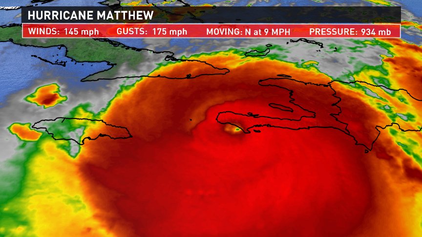
All eyes are on Matthew, which just completed a landfall as a category 4 hurricane in Haiti. It will now take aim at Cuba, the Bahamas and eventually the United States by the weekend.
Recent model runs have shifted the projected track of Matthew to the west, creating more of a concern for wind, rain, waves and storm surge along the East Coast including us here in New England.
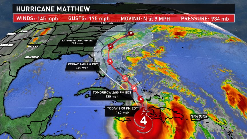
In fact, some of the models are pretty aggressive, with the storm's core passing right over Maine. This solution would not be good for us. A fast moving tropical-like system and lots of leaves still on the trees, would result in sky-rocketing power outages.
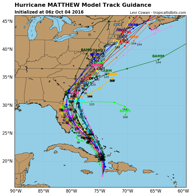
While a direct hit is a possibility, it's actually a small one. Our most trusted model, the European, is made up of many different members, each with a small adjustment to it's initial settings. The average of all the members keeps Matthew's strong wind core far enough south to avoid problems, but close enough for much needed rain...really a best case scenario.
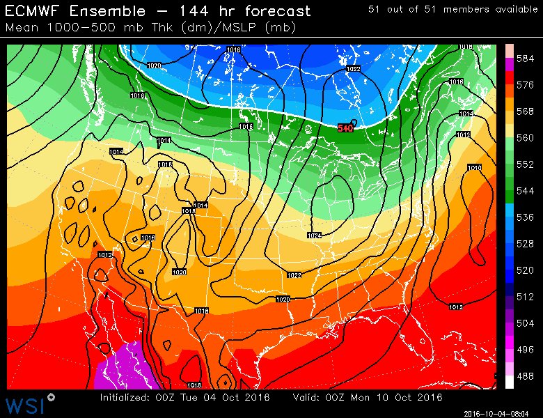
So what will happen? Honestly, It's just a little too early to say for sure as there are a lot of moving parts. One critical piece to this puzzle is a lobe of mid-level energy, now located over the Pacific Ocean.
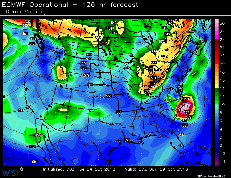
It will either push the storm to our east just grazing us, or pull it west like a magnet for a more impactful event. That energy will enter North American airspace in a day or two where it can be better sampled by our network of balloons. This will provide a better reading of the size and strength of this feature. Thus, I expect more confidence on the final track of Matthew over the next 24 to 48 hours. Check back for updates! -Todd @ToddWCSH

