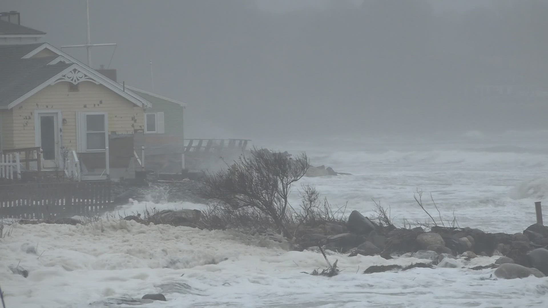
SCARBOROUGH, Maine — As Maine continues to feel the impacts of rising tides, the Federal Emergency Management Agency (FEMA) is making a major update to flood maps in Cumberland and York counties.
At a workshop Wednesday night, the state spoke to Scarborough town councilors and residents about what this update means for them.
Scarborough current flood zones were designated in the 80s, according to Sue Baker, program coordinator of the Maine Floodplain Management Program.
Baker spoke at the workshop about how the maps are changing and that the town will need to change its local floodplain management ordinance before the new maps are adopted.
She told NEWS CENTER Maine, right now is a good time for residents to find how the maps might impact them.
"I think the really important thing for people to know is to check and see how their risk may be changing whether it’s more, whether it’s less," Baker said "And do they have financing that might require flood insurance?"

