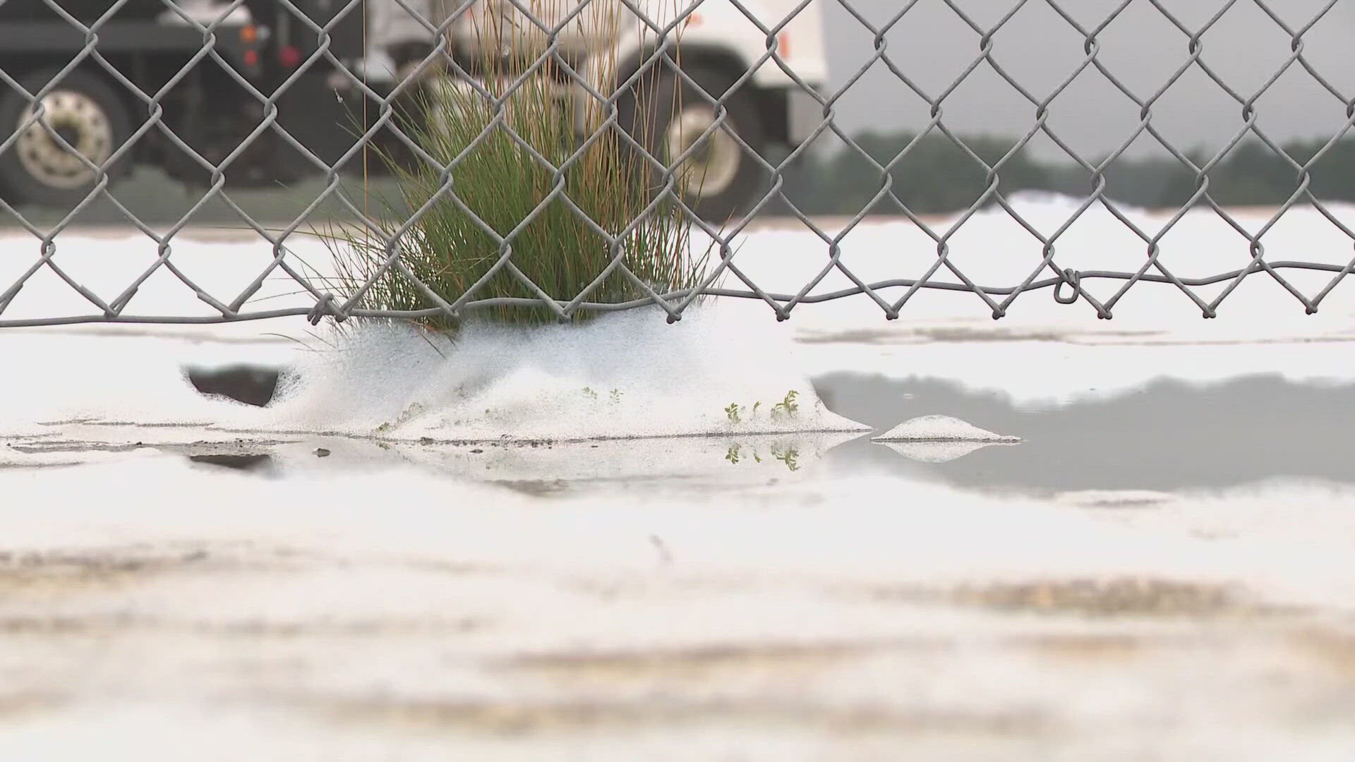
BRUNSWICK, Maine — Brunswick Landing officials are seeking millions in state funding to help clean up toxic compounds in its hangars following a serious spill of firefighting foam on Aug. 19.
Meanwhile, scientists are working to determine what levels of PFAS chemicals are being released into waterways that eventually flow into Casco Bay, putting marine life and sensitive shellfish beds at risk of contamination.
Scientists were well into the second year of gathering data on PFAS levels in Casco Bay when more than 14,000 gallons of firefighting foam accidentally discharged at the Brunswick Executive Airport.
The foam made with toxic "forever chemicals" known as PFAS sparked an ongoing clean-up effort by state regulators.
"We asked them if there were things we should do or actions to modify our study and expand our monitoring efforts in light of this spill," Casco Baykeeper Ivy Frignoca with nonprofit Friends of Casco Bay explained.
Friends of Casco Bay and Bigelow Laboratory for Ocean Sciences planned to take water samples near the former Naval base, an EPA superfund site, as part of their first comprehensive study when researchers sprang into action.
Scientists are taking samples at eight different sites, starting at Mare Creek, just south of Hanger 4, where the foam discharged. Fresh water from the creek travels around eight miles into Harpswell Cove, a narrow waterway subject to tides' ebb and flow.
"It will take a while, that's our estimation before any PFAS is flushed out; long-term monitoring is important," Senior Research Scientist Christoph Aeppli at Bigelow Laboratory for Ocean Sciences said.
Researchers will also take soil samples, as the chemicals are known to bind to sediment—critical data since parts of Harpswell Cove remain closed to shellfish harvesting following the disaster. The EPA recently released nonbinding aquatic life water benchmarks for 10 PFAS chemicals to help inform regulators in Maine and other states.
"The levels we see and what the DEP recording are certainly above acute toxicity levels in these benchmarks. Is this concerning? It's concerning," Frignoca stated earnestly.
The data from these monitoring sites will be released to the public sometime next spring. Over the past year and a half, scientists have analyzed 100 samples from 18 sites along the watershed, covering nearly 1,000 square miles. However, measuring the scope of the spill and its impact on marine life and shellfish areas could take months or even years.
The three-year federally funded study will wrap up late next year. The findings will be available on the Maine Department of Environmental Protection and EPA's websites.

