
ORONO, Maine — According to a new study from the U.S. Geological Survey, nearly half of all tap water in the U.S. is contaminated with "forever chemicals."
Research into PFAS chemicals and their health impacts is growing nearly every day, but no software is available to combine the data to track potential hotspots. A University of Maine researcher is developing a possible solution.
Data from testing for PFAS chemicals in soil, biosolids, livestock feed, wildlife, and drinking water in Maine is exploding.
That's why Torsten Hahmann, a computer scientist and associate professor of spatial computing at UMaine, wanted to find a way to combine and analyze this growing body of research into one database.
"We don't want to reproduce all that data. We want to connect to that data," Hahmman explained.
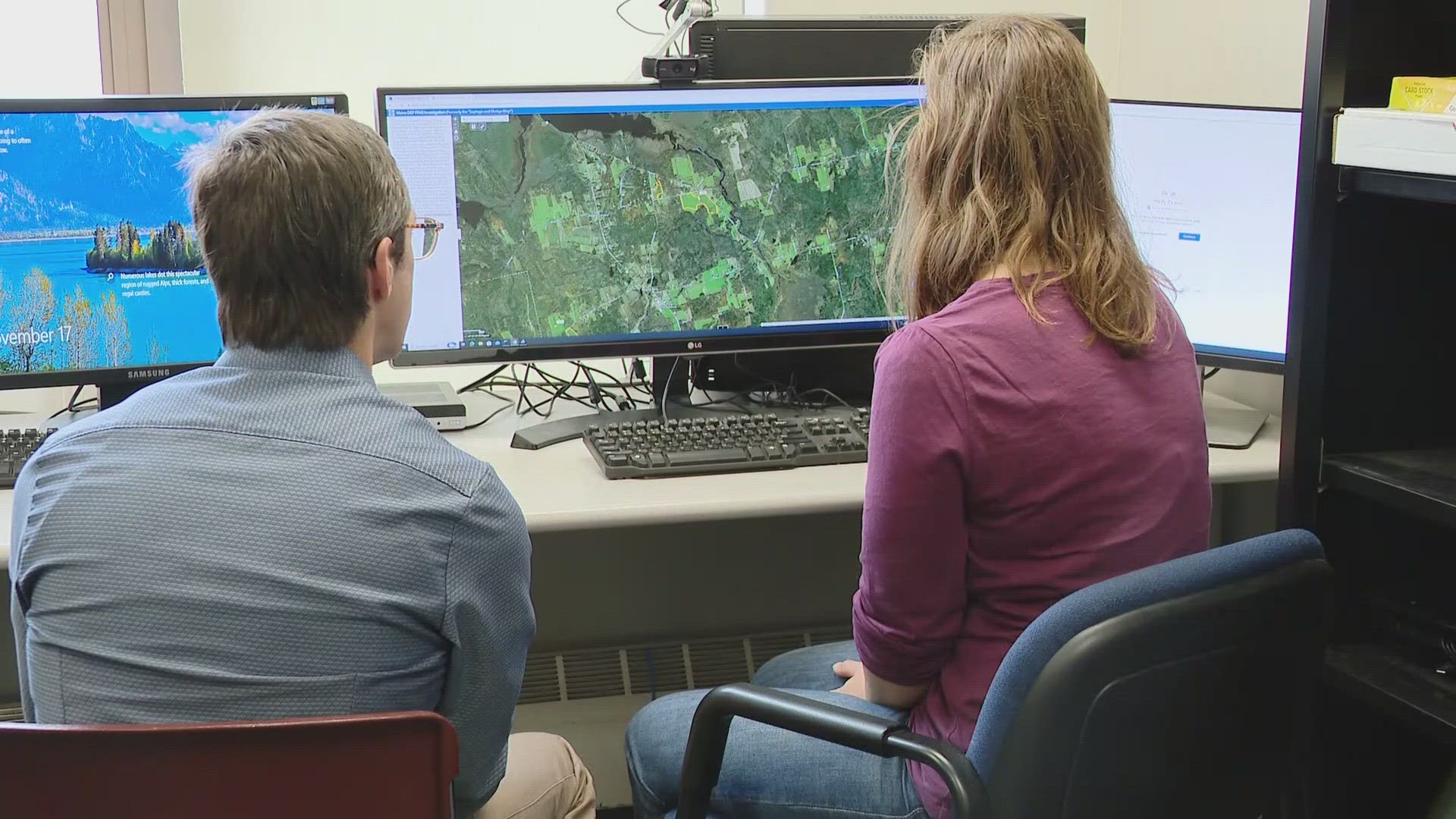
Utilizing a $1.5 million grant from the National Science Foundation, Hahmann leads a team of student researchers in developing the Safe Agricultural Products and Water Graph, or SAWGraph.
The online tool will allow users to explore and analyze data from contamination sites across the country, all in one database. The interactive software will connect testing data uploaded from state and federal regulators to likely sources of contamination and map out how the chemicals travel to drinking water supplies and other areas of the environment.
"What is the depth of a well or whether is it bedrock? So, scientists can look at the existing data and say there is a correlation here," Katria Schwiekert, a doctoral student working with Hahmann, said.
The nationwide tracker will be a valuable tool for the public to determine whether their food supplies, drinking water, or properties are at risk. The data, in turn, will inform state and federal agencies to follow up and possibly do more testing.
The first phase of the online tool is expected to be ready to launch in about a year and will be used by researchers at the U.S. Environmental Protection Agency.
"We can move faster in addressing the crisis, so we know what we should be doing. Some states haven't done any systematic testing. Maine is really at the forefront," Hahmann said.
This national tracker could be a model for other states grappling with the windfall of widespread contamination. When completed, the SAWGraph tracker also will power a map displaying contamination sites in Maine and across the U.S.