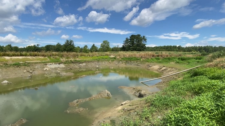
MAINE, USA — On Thursday, the Maine Drought Task Force released an updated U.S. Drought Monitor map on its website revealing drought levels and severity throughout the state. Thursday's release also shows how many dry wells have been reported in Maine.
"The U.S. Drought Monitor is jointly produced by the National Drought Mitigation Center at the University of Nebraska-Lincoln, the United States Department of Agriculture, and the National Oceanic and Atmospheric Administration," according to the website.
For the 2021-2022 year, 55 dry wells have been reported in total. In 2022 alone, 35 dry wells have been reported. Members of the public can report a dry well online through the Maine Dry Well Survey.
The highest number of dry well reports are in Cumberland County, with York and Kennebec counties being the second and third highest.
"Your well is likely at risk of running dry if your faucets sputter when turned on, you see discolored or muddy tap water, there is a change in taste or smell in your water, or your neighbors are reporting dry wells," the website says.
According to the U.S. Drought Monitor map Thursday, southern coastal Maine is experiencing the highest severity of drought in the state.
The website advises anyone who is experiencing dry well impacts to complete the online survey here. For assistance in completing the survey, dial 211, call 1-877-463-6207, or text your Maine zip code to 898-211.
Low-income residents in Maine can refer to the following assistance programs that are available:
For more information about drought in Maine and to view updated maps, click here.


