
PORTLAND, Maine — Scientists at the Gulf of Maine Research Institute are expanding a study to better calculate flood risks as sea levels rise due to climate change.
In stage two of the pilot project, coastal scientists are installing Hohonu tide gauges to help collect flood impact data, improving resiliency in four communities along Maine's coast: Portland, Boothbay Harbor, Saint George, and Machias.
"When the National Weather Service forecasts water levels, they're using a model, but it's really hard to know if a model is right if you don't have data to check against," Hannah Baranes, a coastal scientist in the Climate Center at GMRI, said.
The 2022 Sea Level Rise Report from the National Oceanic and Atmospheric Administration predicts in the next 30 years, the sea level along United State's coastline will rise on average, 10-12 inches, which will "create a profound shift in coastal flooding."
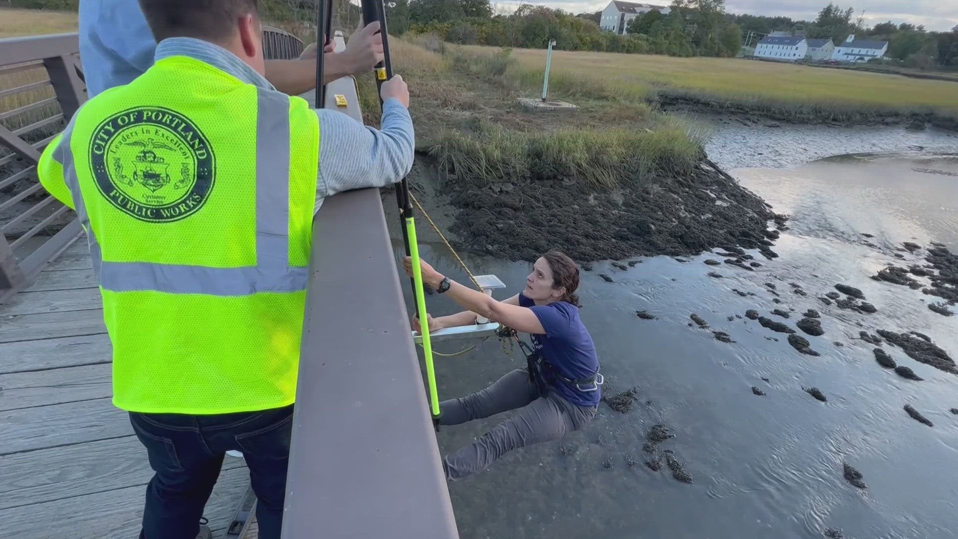
These solar-powered sensors give researchers real-time water levels. As part of the project, GMRI is creating new community science programs and designing middle and high school curriculums so people gain an understanding of coastal flooding and feel as if they can contribute to the study by documenting flooding impacts in their own communities.
"You get community members going out and making observations like taking pictures and describing impacts in their own communities," Baranes said.
A City of Portland GIS mapping specialist for Portland's Public Works engineering department said tracking more data will only help improve the city's flood models and make safety plans for future flooding.
"As we go forward, those evacuation routes will become imperative. So if we ever have flood events we know what areas flood, and we can identify prior to the event and evacuate those folks who need to be evacuated," Kevin Deneault said.
Portland Trails is partnering with GMRI to hold community science events for community members to document observations during high tides and predicted storms this winter to complement the data tracked by the sensors in place.