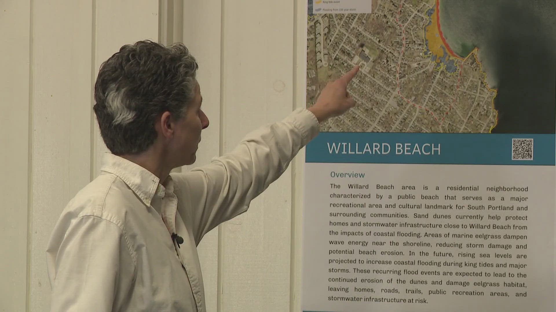
SOUTH PORTLAND, Maine — As climate change continues to change the outlook of Maine's future, local municipalities are preparing for when rising sea levels encroach on residential neighborhoods.
"We have been looking at the impact of climate change on our coastline in particular," Julie Rosenbach, sustainability director for South Portland, said. "The January storms really accelerated their efforts."
After working with state and federal partners, Rosenbach has been mapping out what a rising tide level could look for coastal neighborhoods around South Portland during a normal tide, a king tide, and a "100-year" storm.
Rosenbach also placed rising tide lines around the city to show what tides might look like in the next 10 or more years.
"Over the next 25 to 75 years, there is a high probability that we are going to see a 3.9 feet of sea level rise," Rosenbach explained.
Other coastal communities are also looking into what rising tides could mean for Maine's coast. FEMA experts have said they are looking to update flood maps for Cumberland and York counties for the first time in 20 years, which will go into effect in the coming days.
FEMA spokesperson Jann Tracey said not a lot of Mainers have flood insurance, so the new maps will allow more residents to opt-in to group flood insurance plans if they are assisted by FEMA and are in a high-risk zone. Mainers will still have to carry flood insurance if a property is in a high-risk zone.
"It's not something that's probably top of mind for Mainers, but maybe now it should be," Tracey said. "It costs $2,400. However, FEMA pays for it for three years."
Rosenbach said she hopes her efforts will help spark a conversation to prevent any further flood damage if rising tides do hit Maine's shoreline.
"I think people were really appreciative that we have this information and that it's so clear. And at the same time, it's hard information to take in," Rosenbach said.
South Portland will next take the consideration of residents' opinions on ways to prevent flooding damages.

