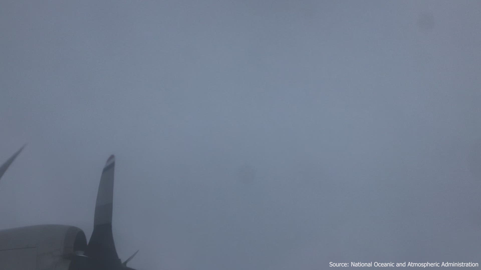
A National Oceanic and Atmospheric Administration P-3 "Hurricane Hunter" flew into Hurricane Dorian as it passed over the Bahamas Sunday, giving a rare look inside the eye of the Category 5 storm.
On Sunday, Dorian's maximum sustained winds reached 185 mph, with gusts up to 220 mph, tying the record for the most powerful Atlantic hurricane to ever make landfall. That equaled the Labor Day hurricane of 1935, before storms were named. The only recorded storm that was more powerful was Hurricane Allen in 1980, with 190 mph winds, though it did not make landfall at that strength.
The video starts as the P-3 is traveling through the storm before emerging to calm skies. A wall of clouds can be seen surrounding the eye with clear, blue skies above.
The camera later pans down to briefly show the ocean before the plane re-enters the storm.
An earlier tweet by NOAA shows the P-3 in the eye, describing it as the "stadium effect." That's when a hurricane makes a cone shape so that being in the eye appears like sitting in a sports stadium.
Although the eye of a hurricane is calmer, NOAA sent out a warning to people on the ground who had ventured into the eye to take a look and posted videos to social media.
"IMPORTANT: We have seen videos in the Abacos of people venturing out in the eye of #Dorian. Everyone should take shelter immediately as winds will increase rapidly and unpredictably after the eye passes," NOAA tweeted Sunday.
The Associated Press contributed to this report.

