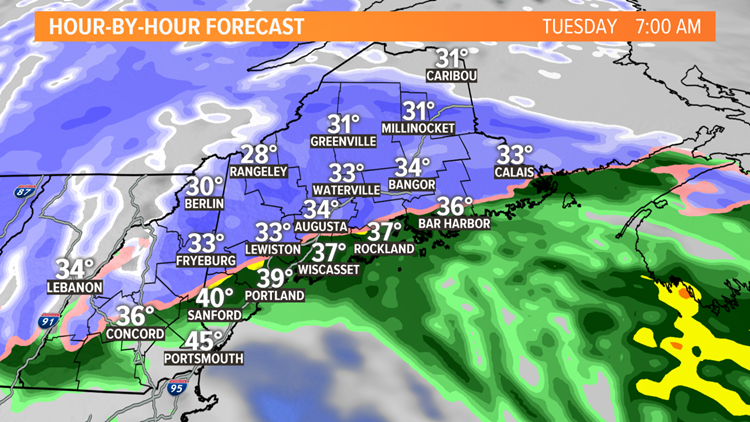
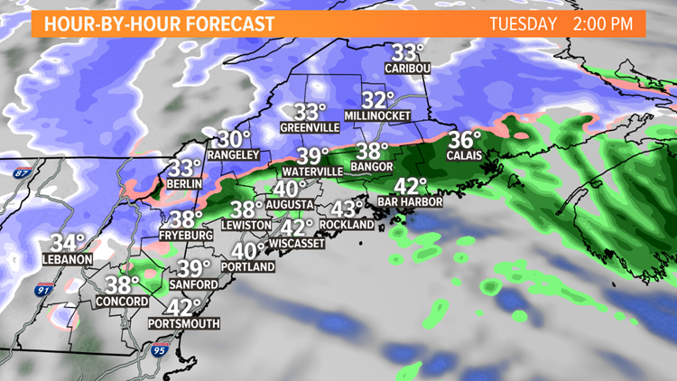
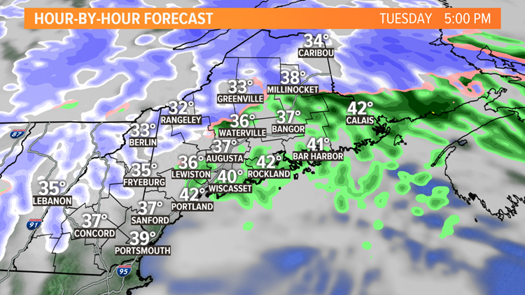
Another storm is on the way. It'll bring heavy snow to the foothills and mountains, heavy rain the coast, and a mess of wet snow and rain in between.
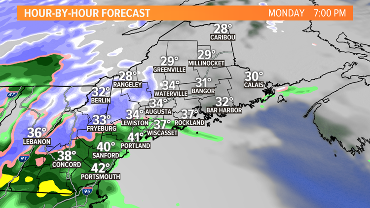
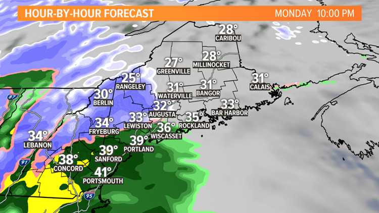
Light precipitation will move into western Maine Monday evening. It'll be rain near the coast, but a mix of snow farther north. The precipitation won't start until after midnight in northern and eastern Maine.
11-27-18 Storm Timeline
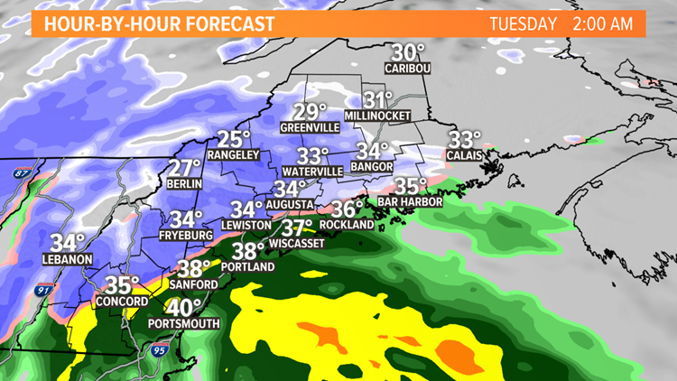
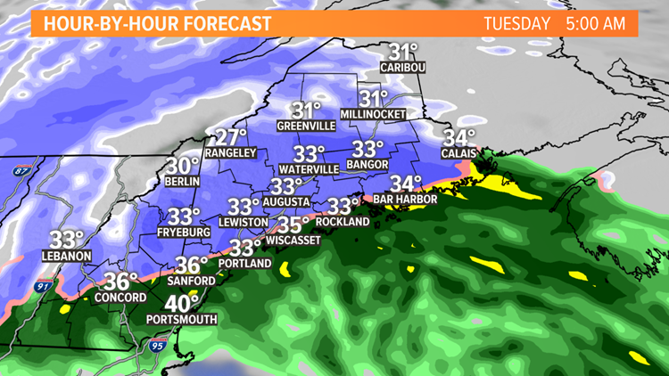
The precipitation will get heavier overnight into Tuesday morning. A rain-snow line will set up just inland from the coast in southern and central Maine. On the cold side of the rain-snow line it'll be snowing hard, 1 to 2 inches per hour. Expect heavy snow in the foothills and mountains and perhaps as far south as Lewiston and Sebago Lake. On the warmer side near the coast, it'll be a windswept rain.
The Tuesday morning commute will be a huge challenge in the foothills and mountains with several inches of snow already on the ground, and it will still be snowing hard. Closer to the Maine Turnpike and I-95, it will be a wetter snow, perhaps mixing with some rain, but there will be big differences from town to town. Within 5 or 10 miles of the coast, it'll likely be rain.
By midday, the precipitation will lighten up in southern and central Maine. It'll keep snowing in the mountains and northern Maine.
Snow totals will be minimal near the coast but may increase quickly inland.


The challenge is along the Maine Turnpike and I-95. How much mixing with rain will happen in places like Lewiston, Augusta, and Bangor? It will mean the difference between a slushy few inches and several inches of wet, heavy snow. Any slight change of 10 to 15 miles will have an impact in this region.
North of Sebago Lake, into the Oxford Hills and mountains, 8 to 14 inches of snow is expected and some of the higher elevations will even see more than that, where it keeps snowing into Wednesday.


An inch or more of rain is expected along the coast. There may be some wind gusts over 40 mph during the morning hours too.


