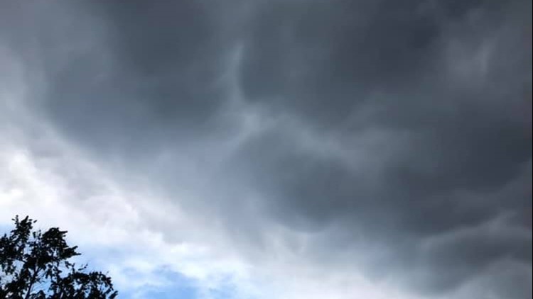
MAINE, USA — Multiple weather and public safety agencies across the state are encouraging people in New England to be prepared, as much of Maine and New Hampshire have been placed under severe weather threat Sunday.
The National Weather Service Gray said on social media "all hazards are on the table" as severe thunderstorms are expected to sweep across both states Sunday afternoon into the evening. Damaging 70 mph winds, flash flooding, hail, and possible isolated tornadoes are expected, according to the NWS, and power outages are likely.
Parts of western and southern Maine have been placed under a tornado watch Sunday afternoon that will be in effect until 8 p.m., according to the NWS. Androscoggin, Cumberland, Franklin, Oxford, and York Counties are included.
The Maine Emergency Management Agency issued a press release Saturday with tips on how Mainers can stay safe, stressing the importance of staying up-to-date on rapidly changing weather conditions.
"Residents and tourists are urged to pay attention to weather alerts," MEMA Director Pete Rogers said. "Authorities may tell you to shelter in place if there’s a tornado or may tell you to evacuate if there’s flash flooding. Everyone needs to be ready to spring into action if necessary."
Flash flooding safety
MEMA offered a list of guidelines to follow if you encounter flash-flooding during severe weather conditions, such as those predicted in Sunday's severe storms.
- If told to evacuate, do so immediately.
- Do not walk, swim, or drive through flood waters. Do not drive around established barricades.
- Stay off bridges over fast-moving water. Fast-moving water can wash out bridges without warning.
- Stay inside your car if it is trapped in rapidly moving water. If water is rising inside the car, get on the roof.
- If trapped in a building or dwelling, get to the highest level. Only get on the roof if necessary and once there, signal for help. Do not climb into a closed attic to avoid getting trapped by rising floodwater.
Power outage safety
Power outages are likely due to predicted high wind conditions on Sunday in some areas. Versant Power offers some tips on how to stay safe during an outage.
- Stay away from downed power lines, and do not attempt to clear tree debris as downed power lines may be entangled in them.
- Prepare with flashlights, batteries, and a battery-powered radio. Stock up on nonperishable food items and have a clean supply of water handy to drink and flush toilets.
- Generators are a safe option during power outages, as long as they're 20 feet away from the house and in a well-ventilated space.
Tornado safety
Isolated tornados could be a real risk on Sunday amid severe thunderstorms and high winds. MEMA offered safety tips on what to do if a watch is issued.
- Seek shelter immediately, such as a safe room, basement, storm cellar, small interior room on the lowest level of a sturdy building. Stay away from windows, doors, and outside walls.
- If driving, do not seek shelter under an overpass or bridge. Find a low, flat location instead.
- Be aware of flying debris, and use your arms to protect your head and neck.
- If you can’t stay at home, make plans to go to a public shelter.
- Gather emergency supplies such as non-perishable foods, water, and medication.