KENNEBUNKPORT, Maine — When we think of archaeological sites, our mind might wander to 10,000-year-old dinosaur fossils being unearthed in the western United States or the tombs of the pyramids in Egypt. Rarely do we think of the shores of Maine as being a treasure trove of clues about an ancient people.
But in fact, they are.
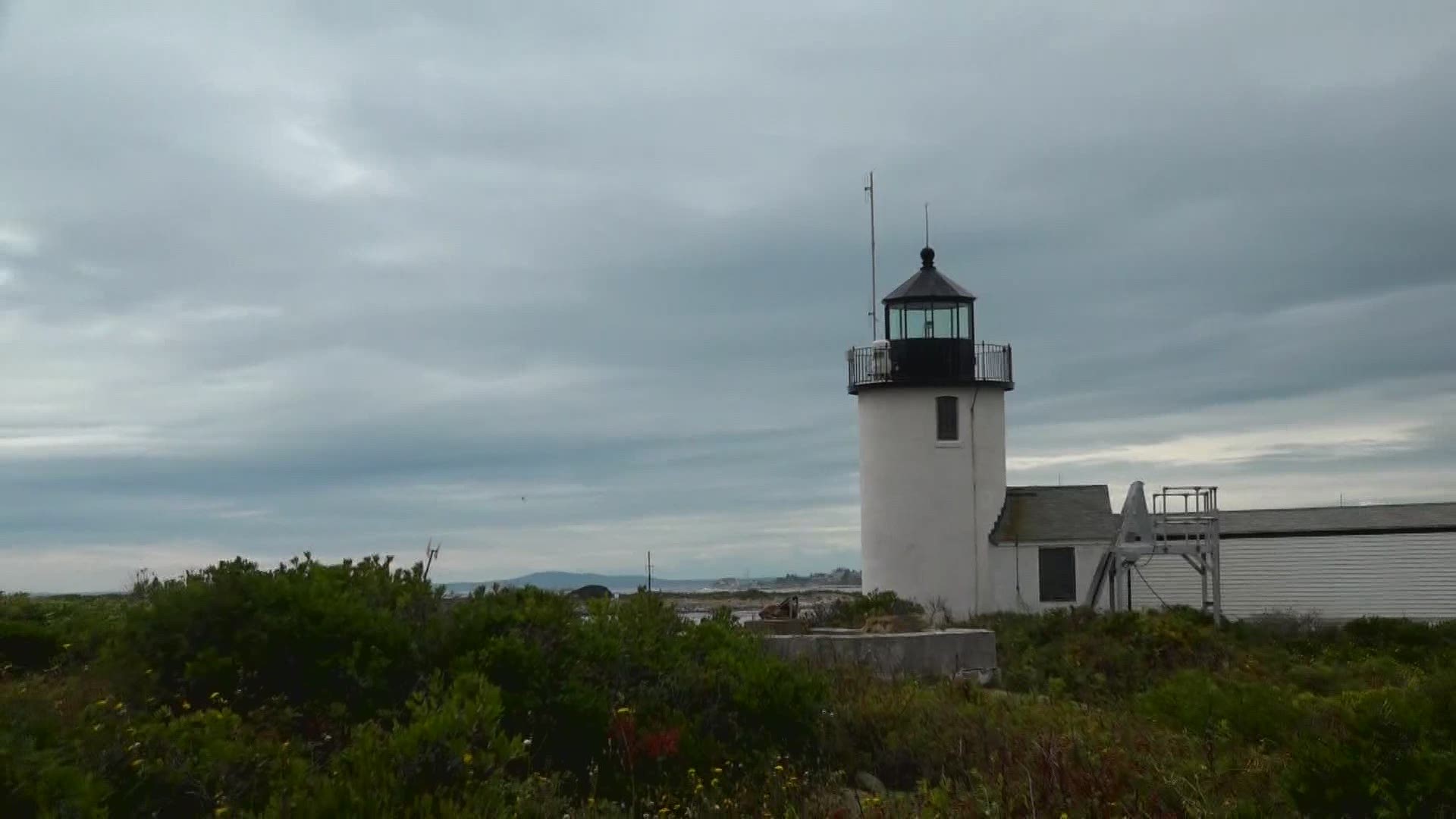
Members of the Cape Porpoise Archaeological Alliance (CPAA) have been working in and among the 12 islands that make up the archipelago in Cape Porpoise Harbor since 2016.
"We know that we're in the Wabanaki homeland," CPAA's lead investigator, archaeologist Tim Spahr, said.
On a warm Sunday in May, Spahr and a team of CPAA members and volunteers headed out to the islands where they are investigating what may be the sight of a 1600s English Fort. At a small test sight, the earth is dug up, dumped into a screen, and meticulously sifted through as Spahr searches for clues of past inhabitants.
"We’re not just out there to find things. We are here to learn about the people who lived us before us," Spahr explained. Early writings of colonizers like John Smith and Bartholomew Gosnold say the harbor was used to fish for cod, process it, and ship it to other colonies or even back to England.
They know these islands, rich in resources, shielded the harbor and land, then as they do know, from the waves, making it one of the only safe harbors between Portsmouth and Portland—a perfect place to anchor ship, work, and possibly live.
The work is tedious and demands painstaking attention to detail and record-keeping on islands that are jungled with poison ivy.
"You need patience. There is no hurry in archaeology. There is no rush," Spahr said. But there is a sense of urgency to complete the surveys on the islands because as sea levels rise they are literally washing away the information of the people who lived and worked these shores.
700-year-old canoe found on Maine coast
Spahr explained that most archaeological surveys conducted on the upland, once done are done. But working in the intertidal zone with tides shift the sand means the same area of land can be surveyed several times.
"We are piecing together really small pieces of physical evidence that helps us pull together facts of a bigger picture of how people lived," explained Spahr.
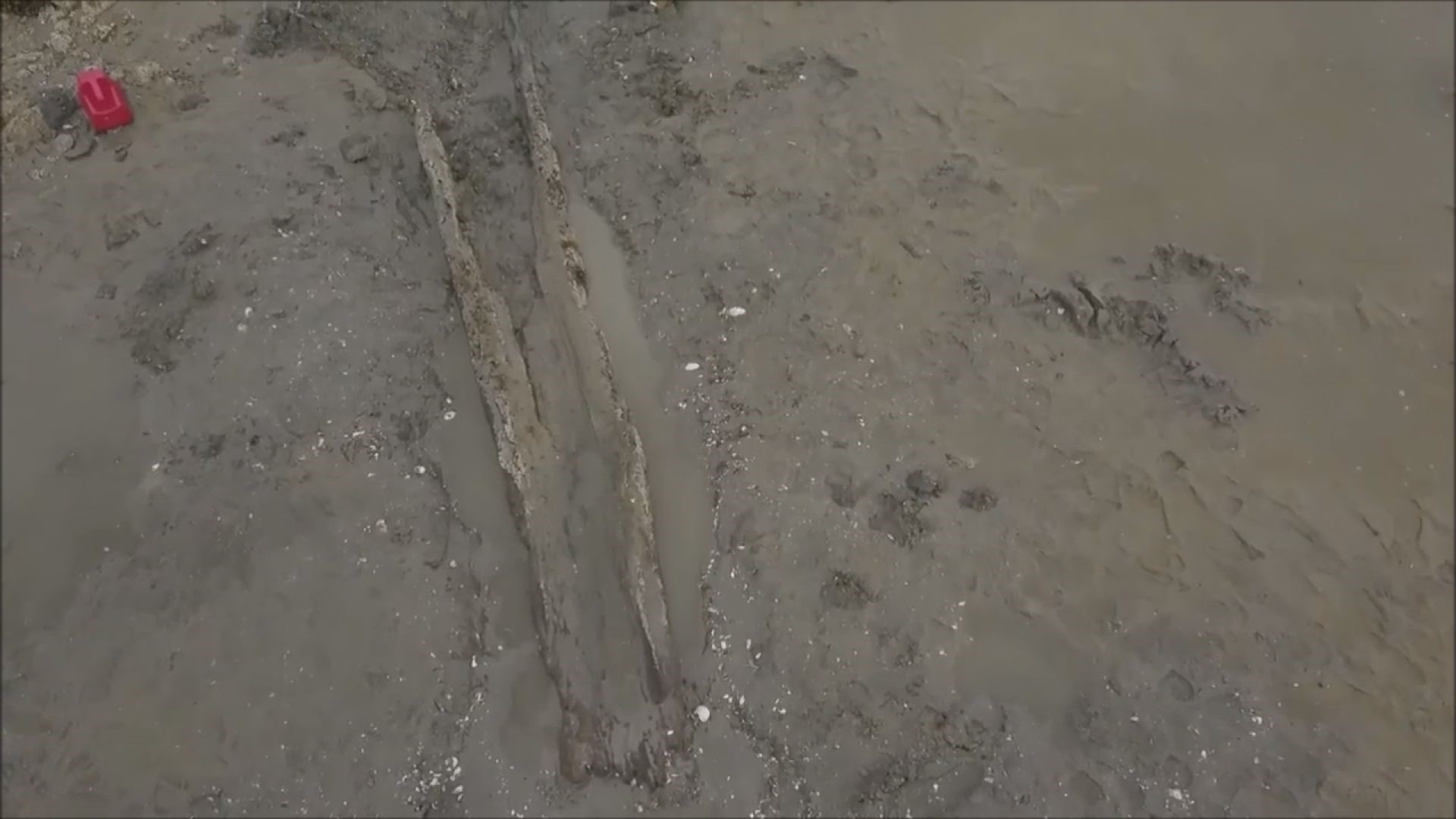
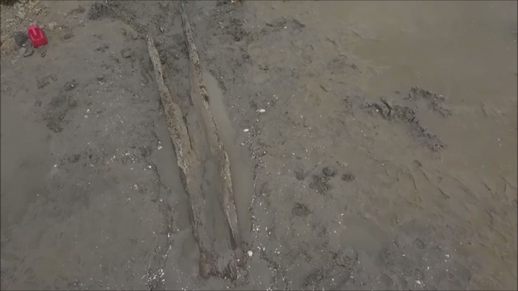
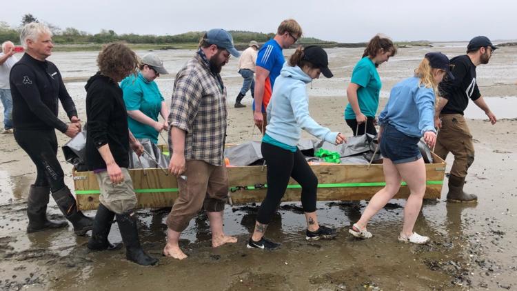
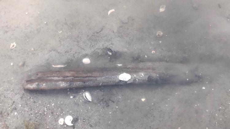
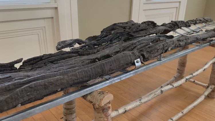
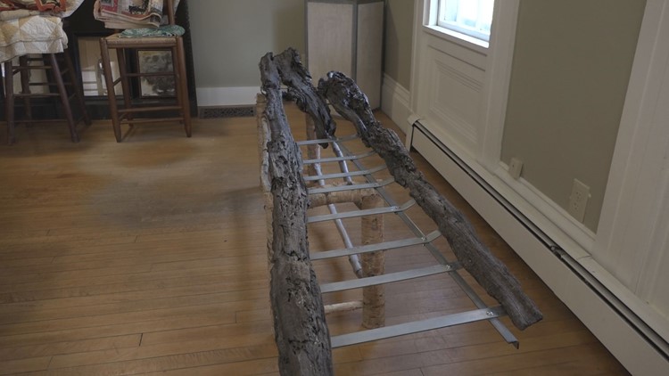
Usually, the pieces of evidence are small, but in the winter of 2019, Spahr was walking along the mudflats when he spotted something that he thought could potentially be the gunnels of a canoe. After months of surveying and testing, in June of 2019, a team of archaeologists and volunteers excavated a dugout canoe and its companion paddle. The wood came from a yellow birch tree that carbon-dated to have been alive 800 years ago, making the canoe probably around 700 years old.
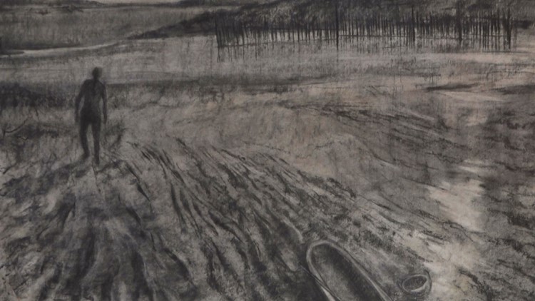
Elizabeth Kelley Erickson worked on the excavation and did the technical drawings of the canoe which took more than 21 hours. While photography is an important way to document their work, Spahr said sketches can be more accurate than even a picture.
"Sometimes the light of a photograph is not allowing you to see all the facets," Kelley Erickson explained. Many of her drawings were included in the latest exhibit at the Brick Store Museum, which along with the Kennebunkport Conservation Trust, partners with CPAA.
Spahr and others who worked on the canoe excavation published an academic paper about their work and shared their findings with the Wabanaki Federation.
"The ultimate goal call of this work is if it can help inform us about who was here, how they lived in harmony close to the Earth and help us to live closer to the earth," Kelley Erickson said.
The canoe will be on permanent display at the Brick Store Museum in Kennebunk in the coming months.

